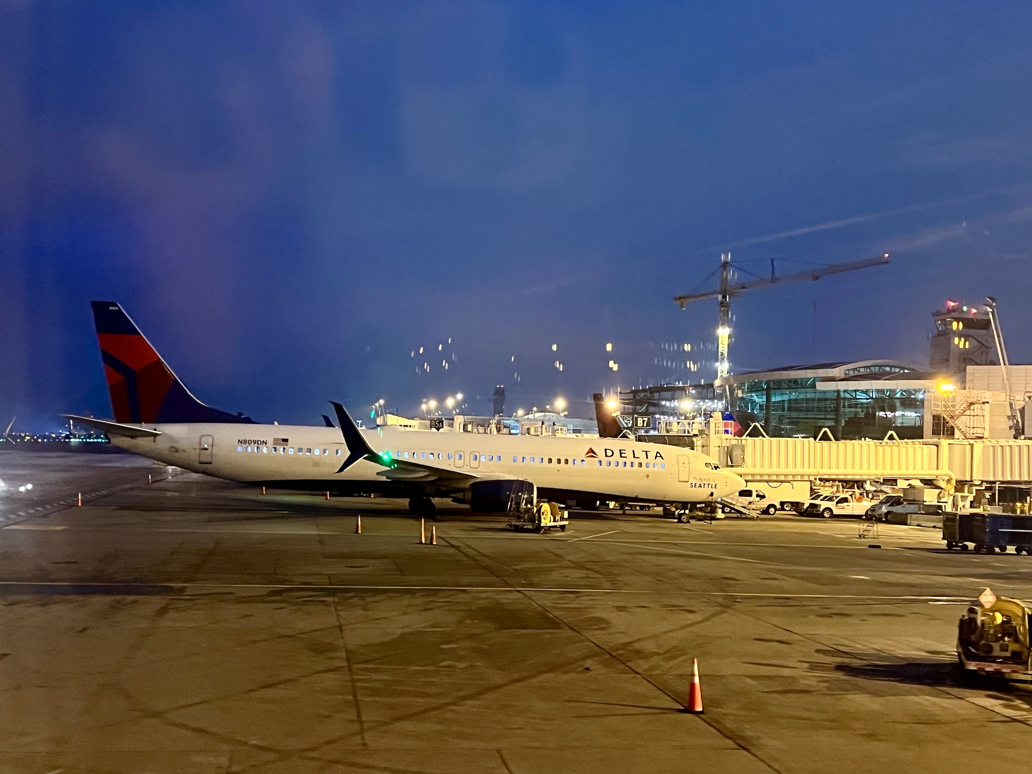
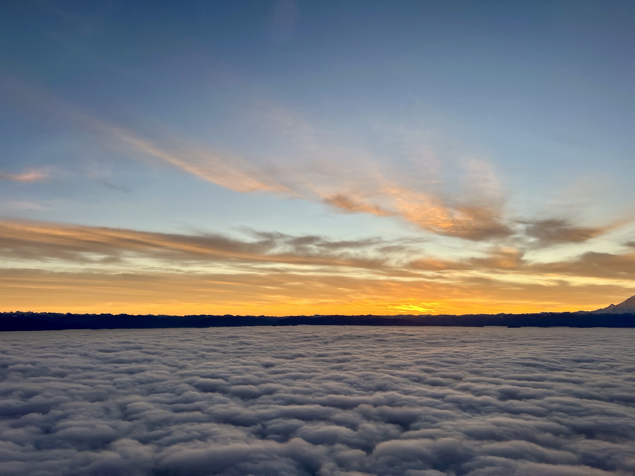
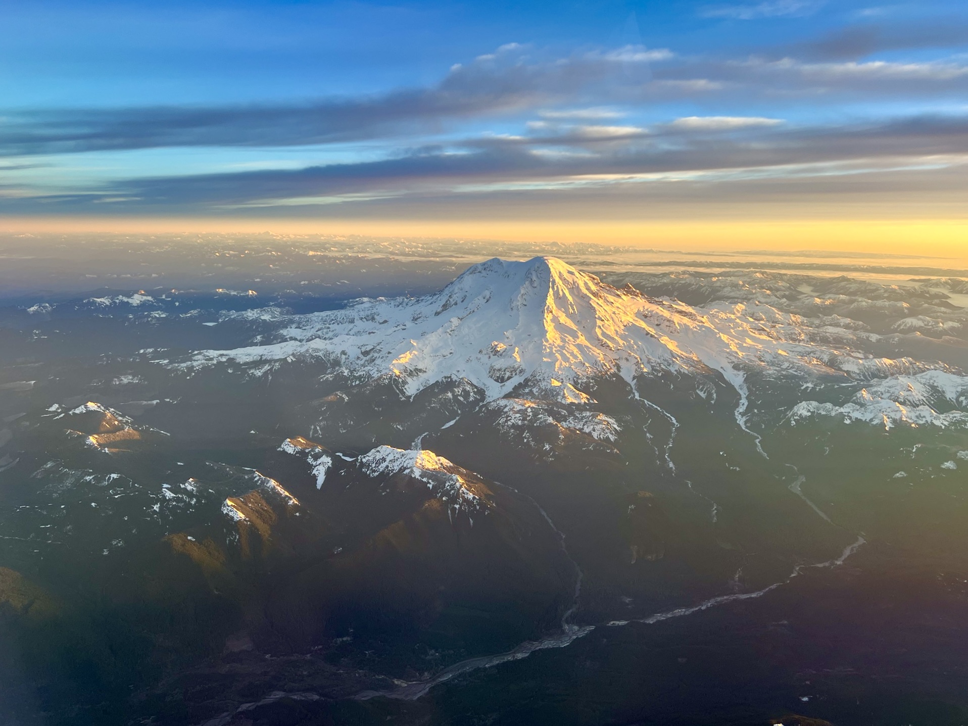
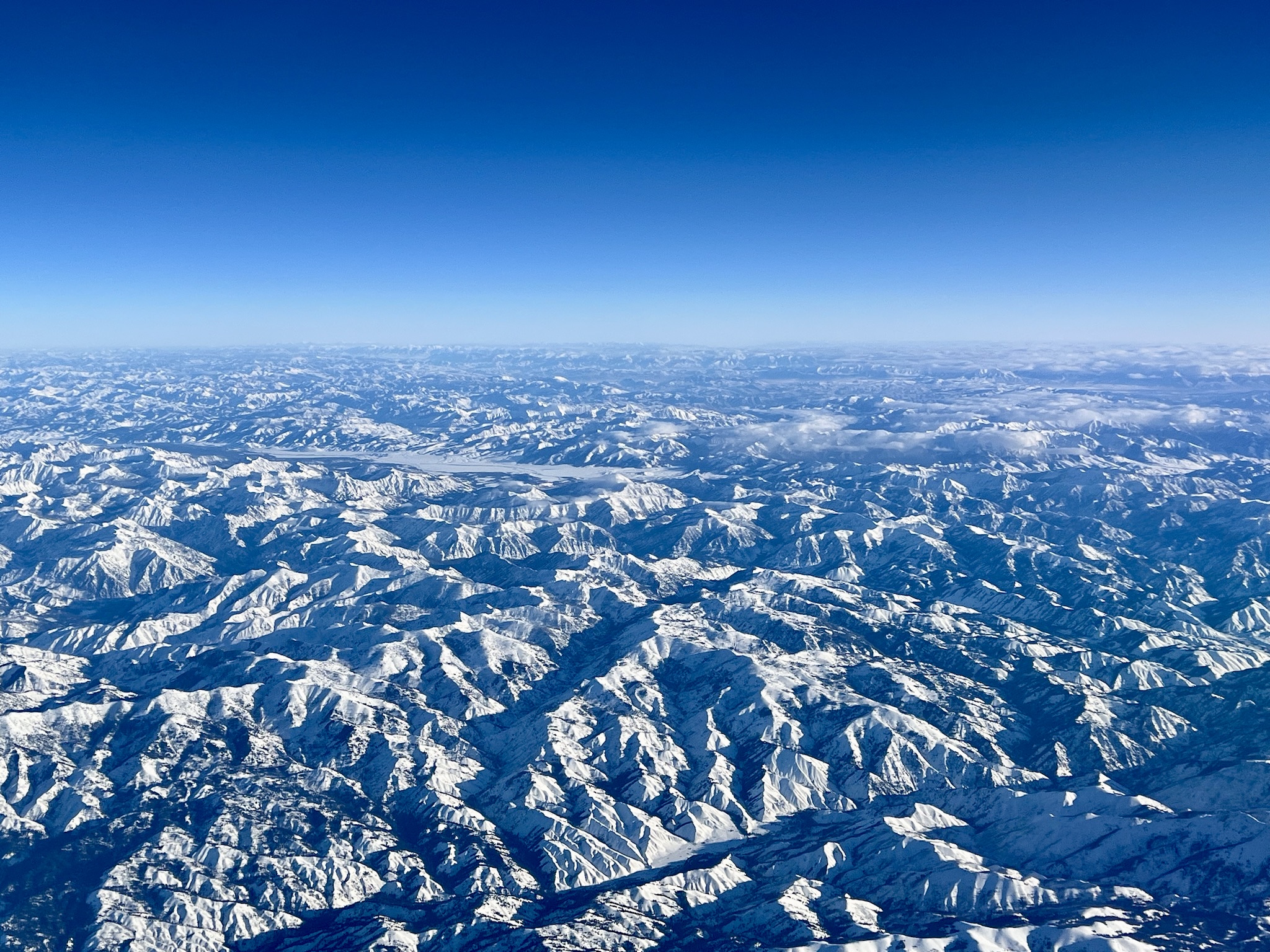
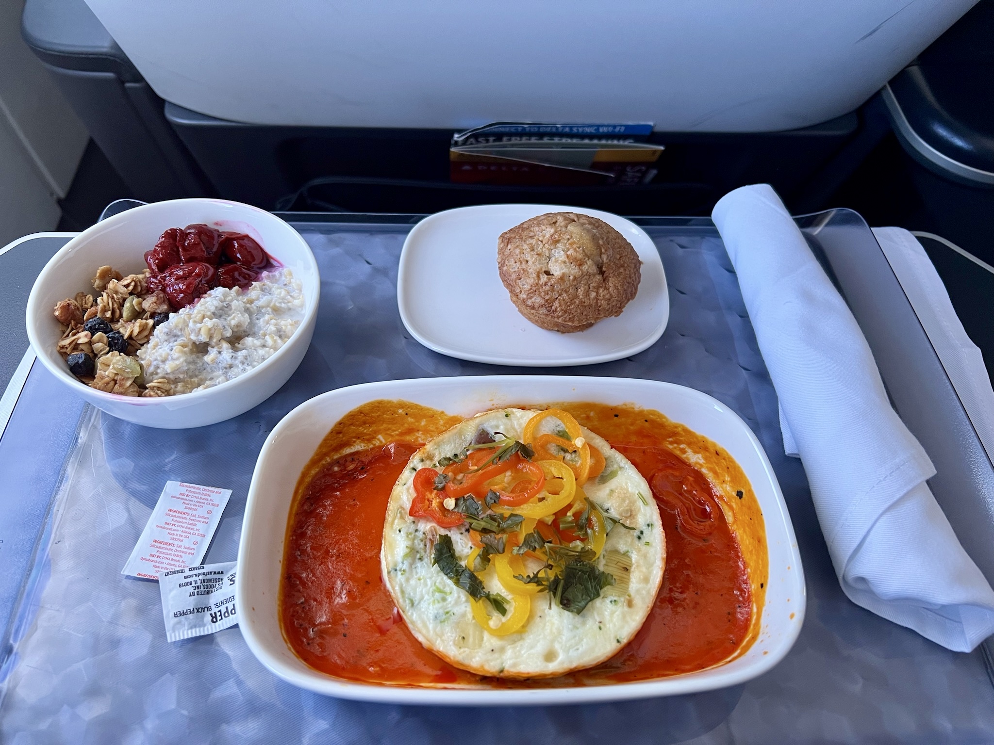
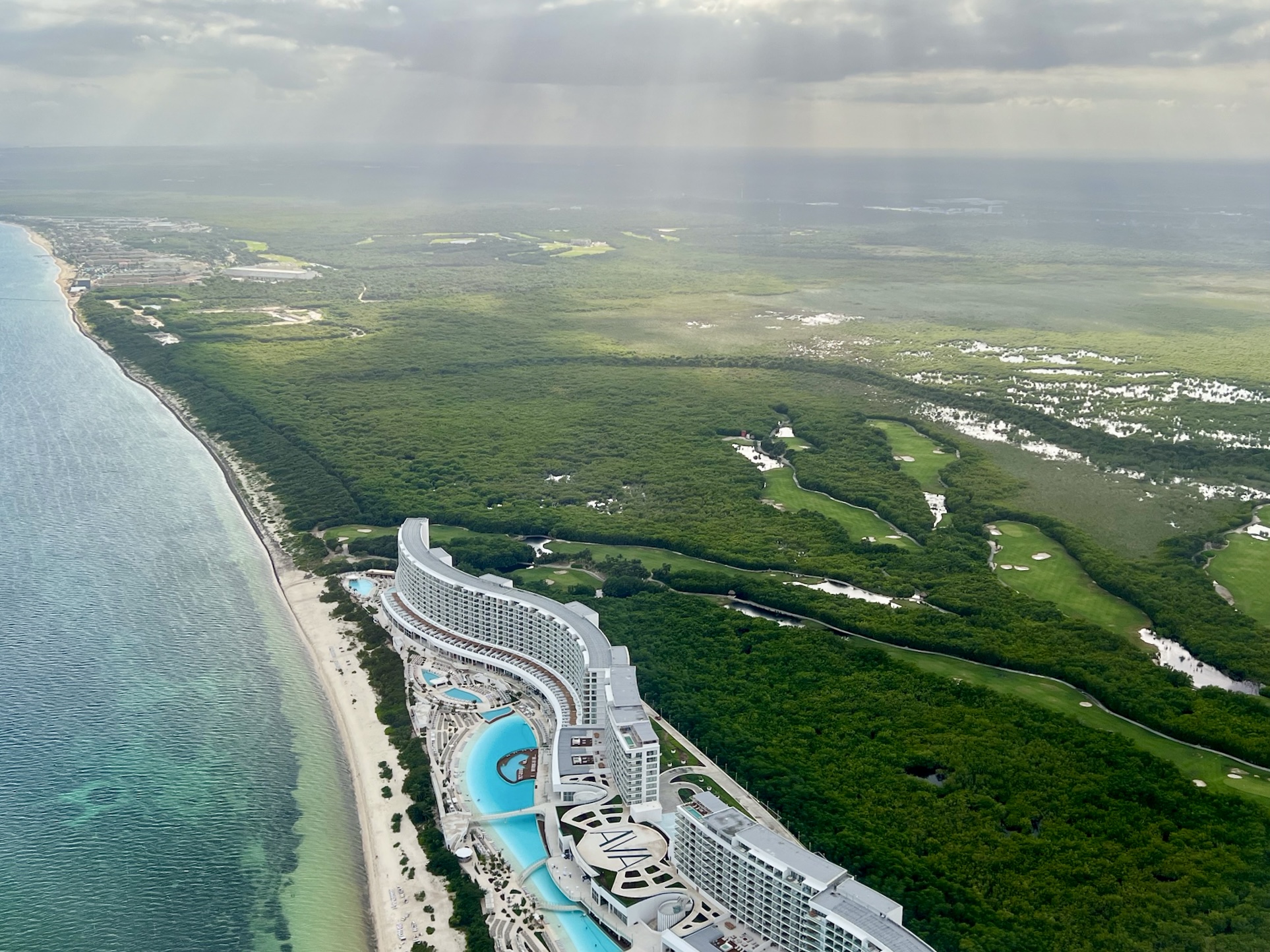
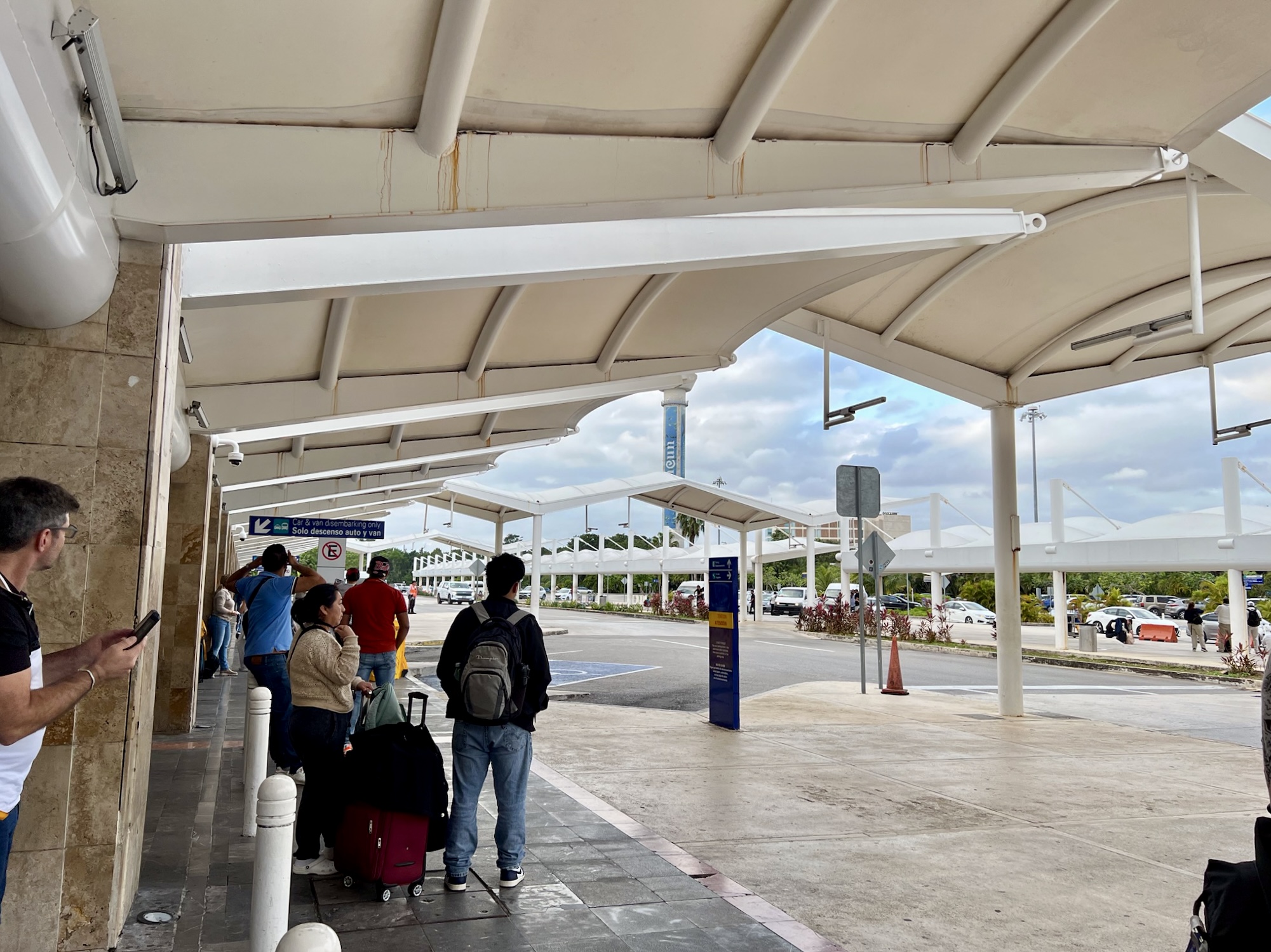
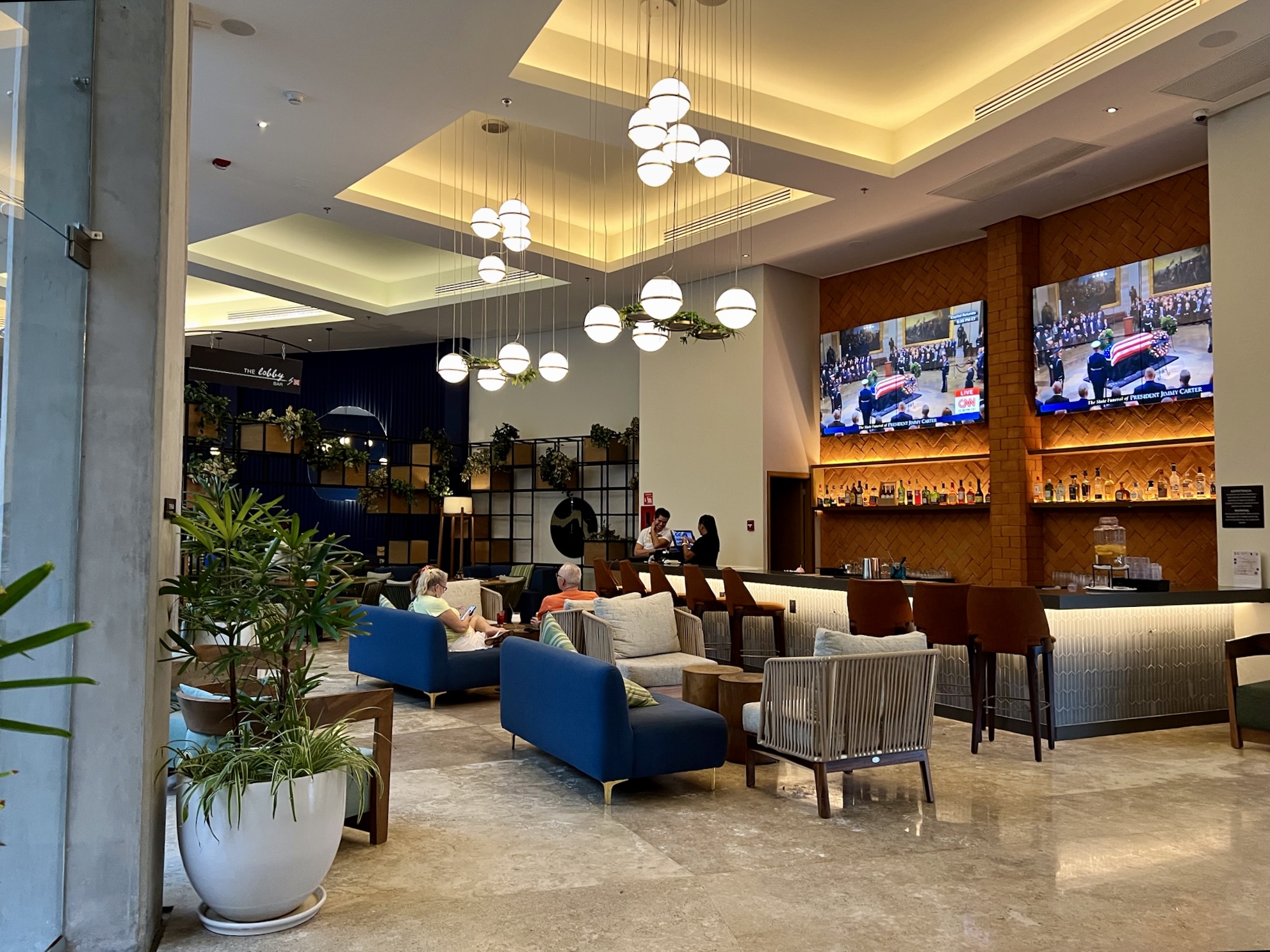
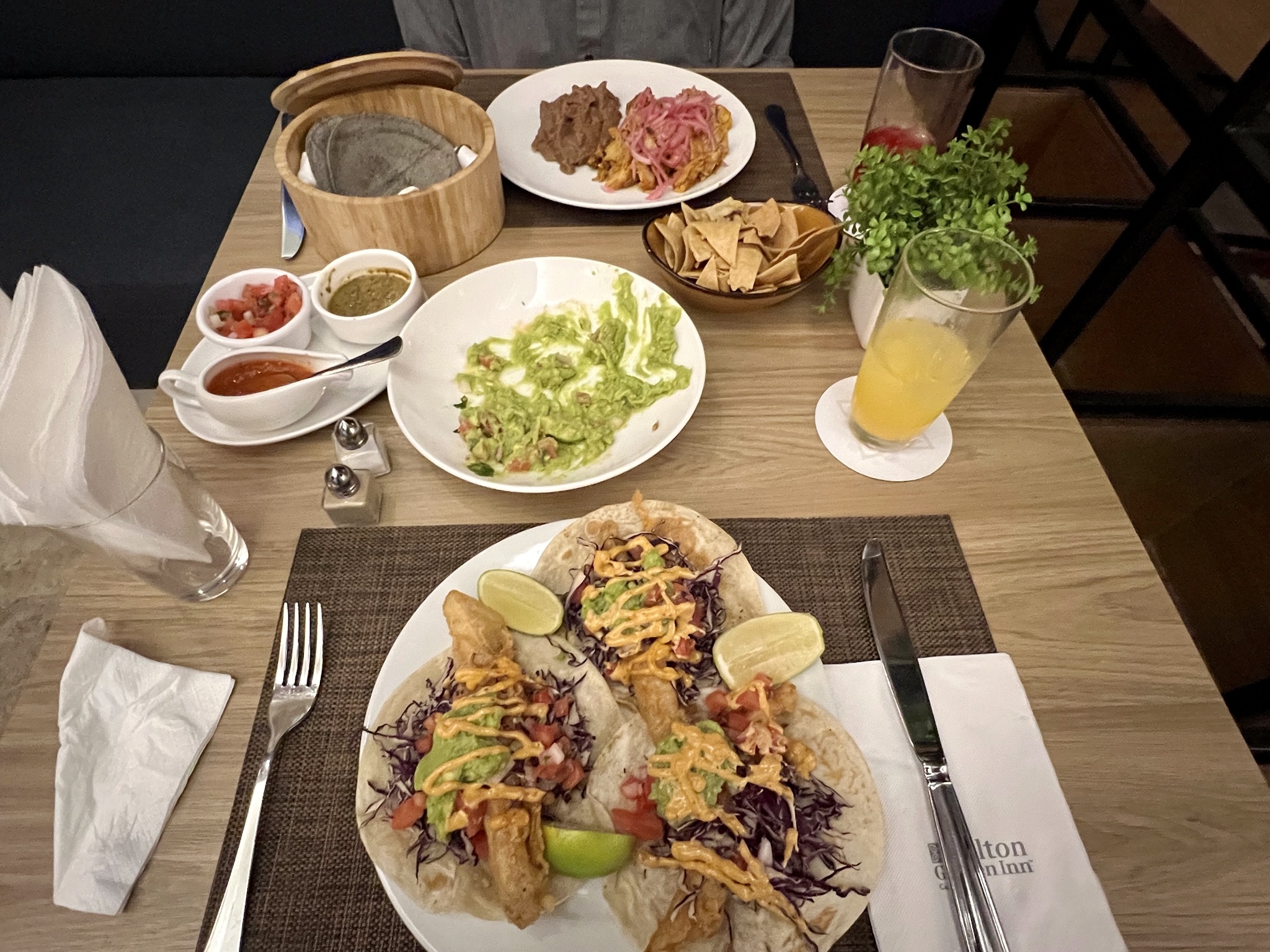
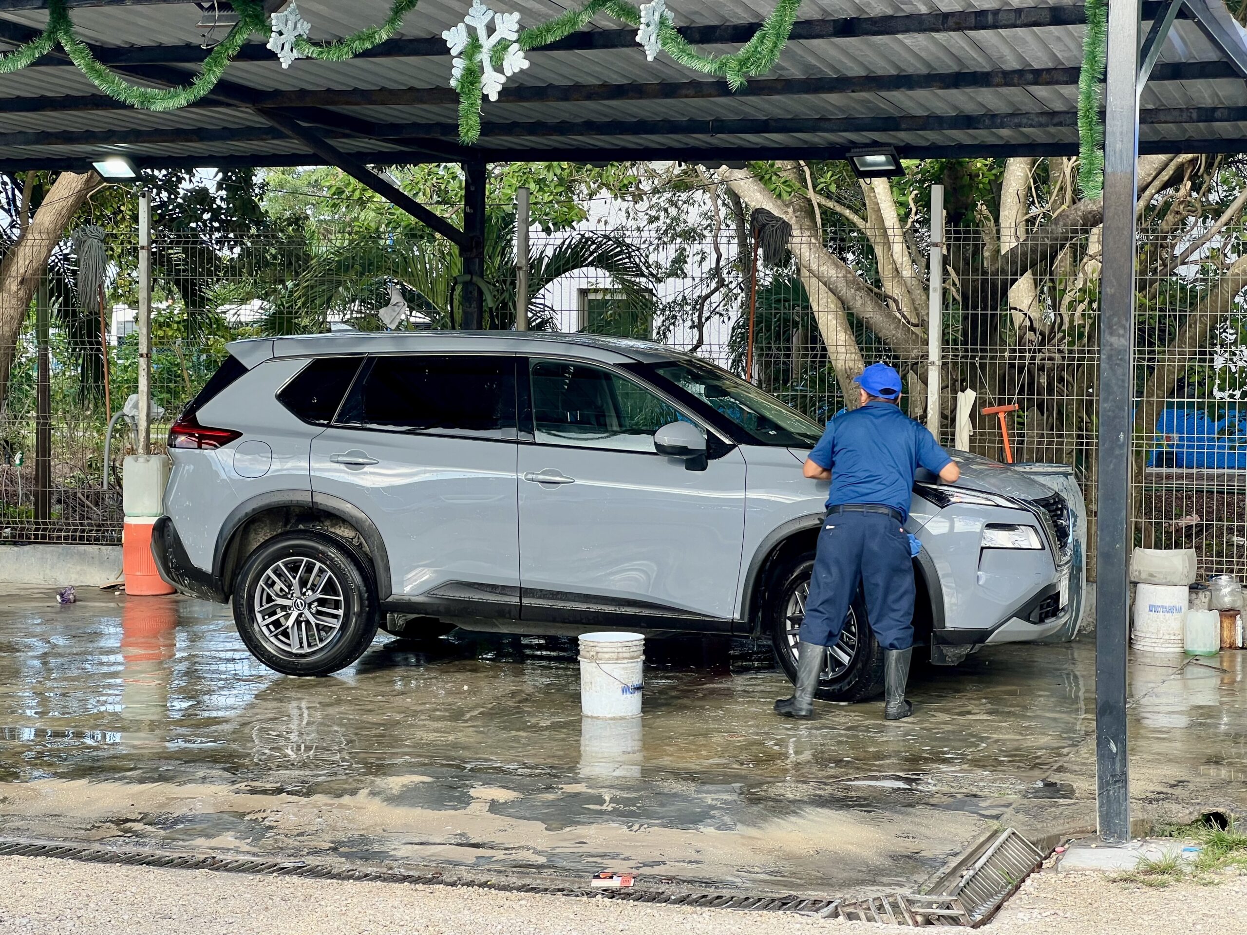
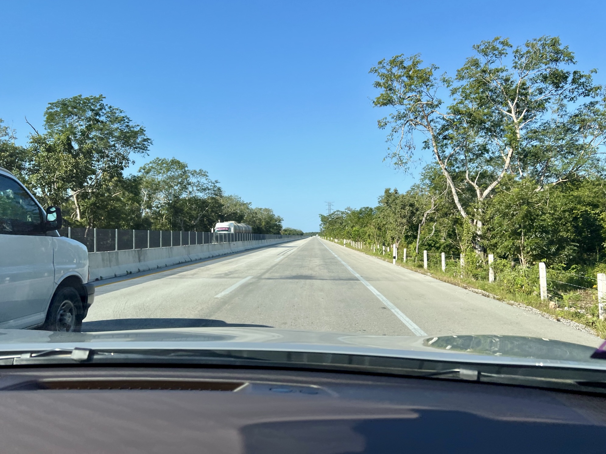
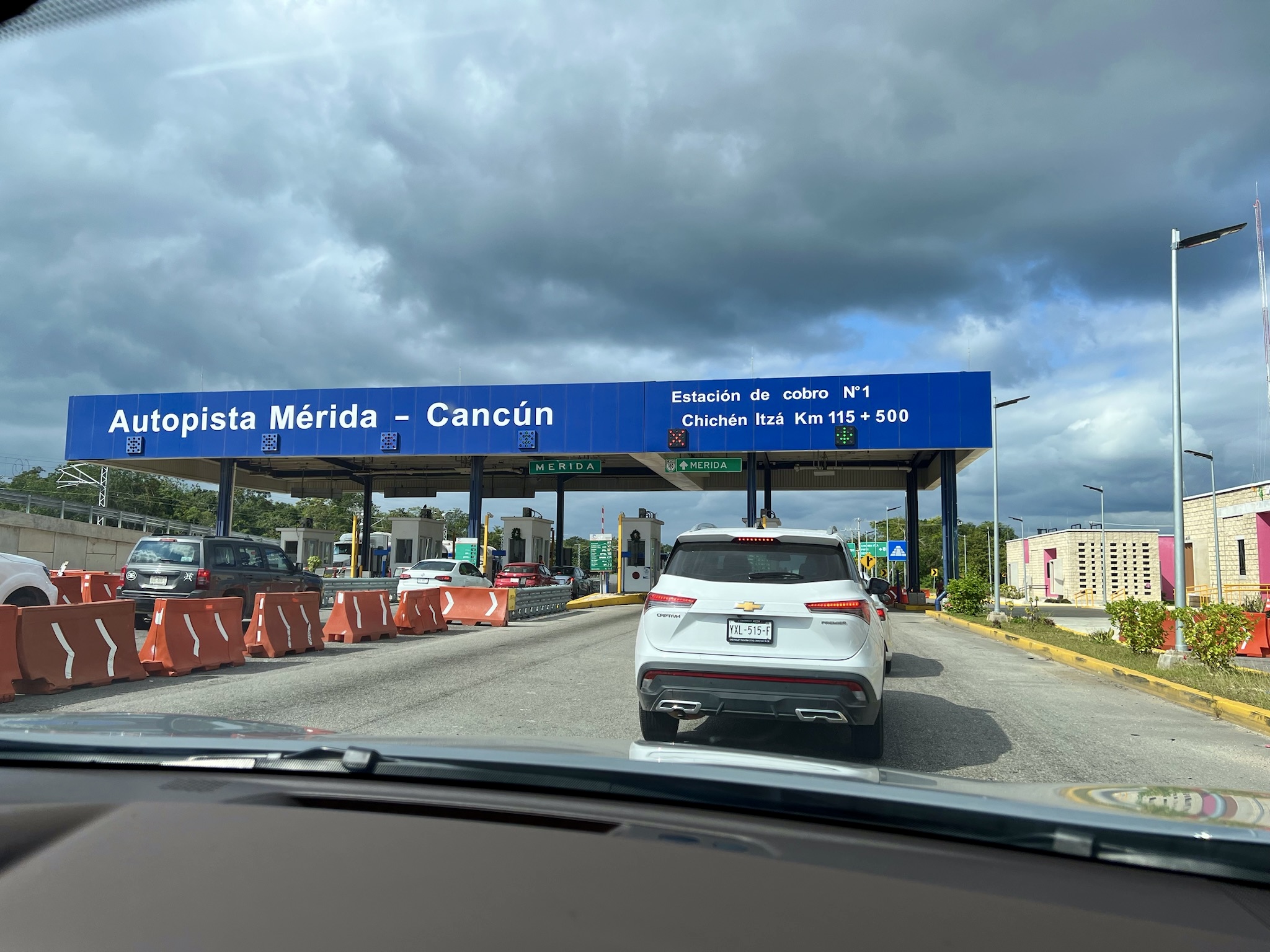
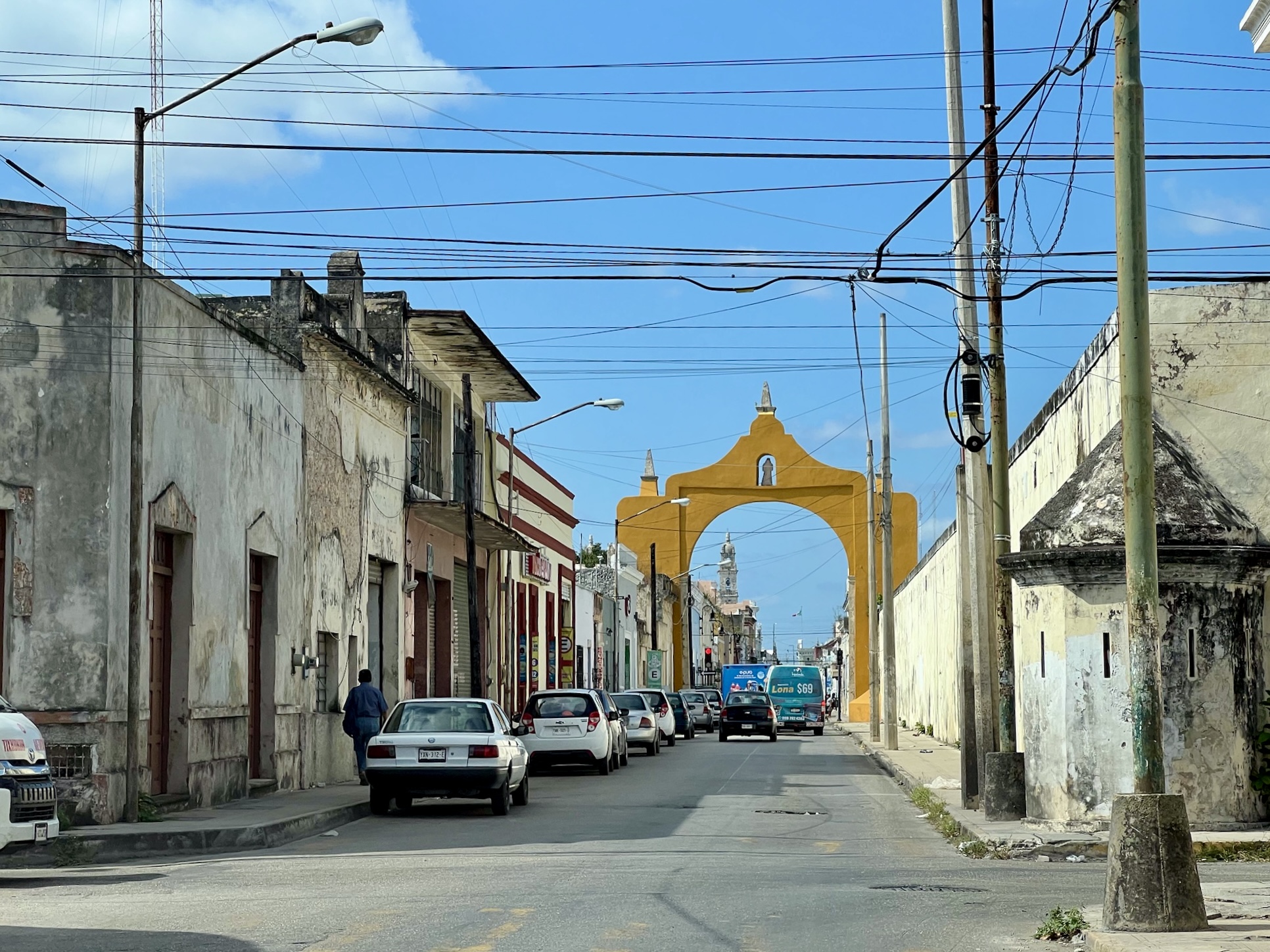
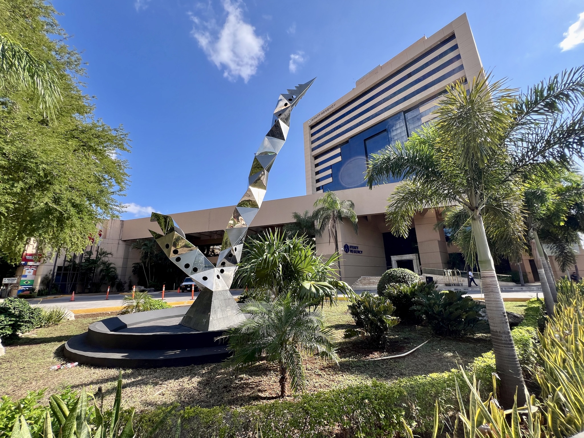
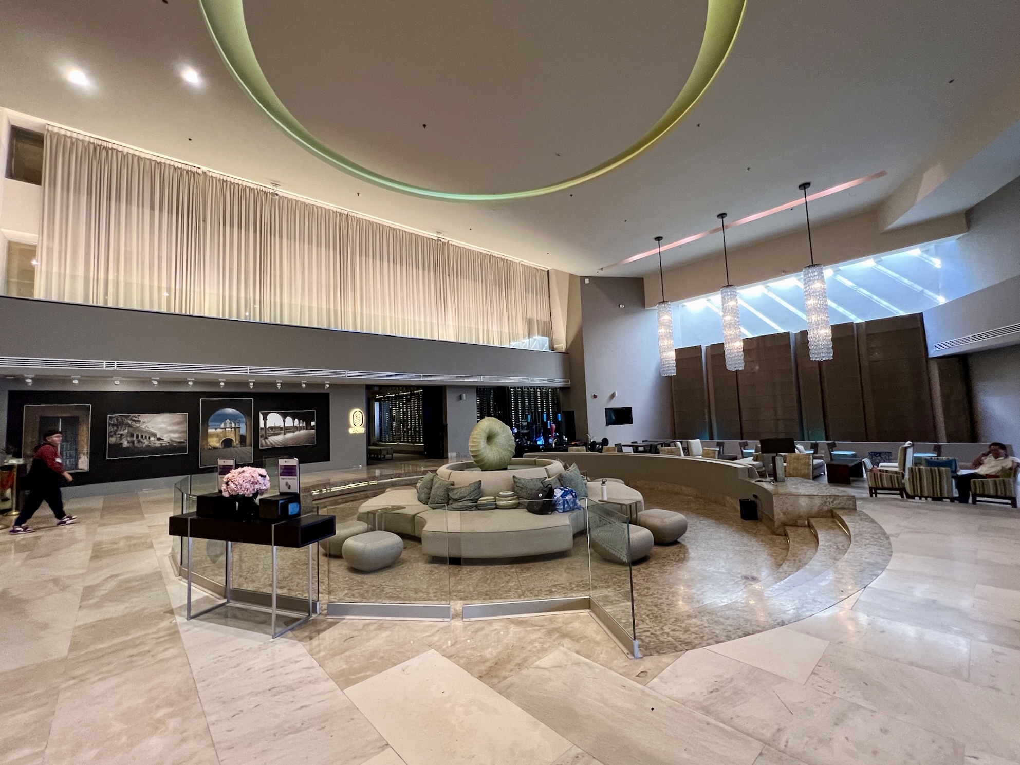
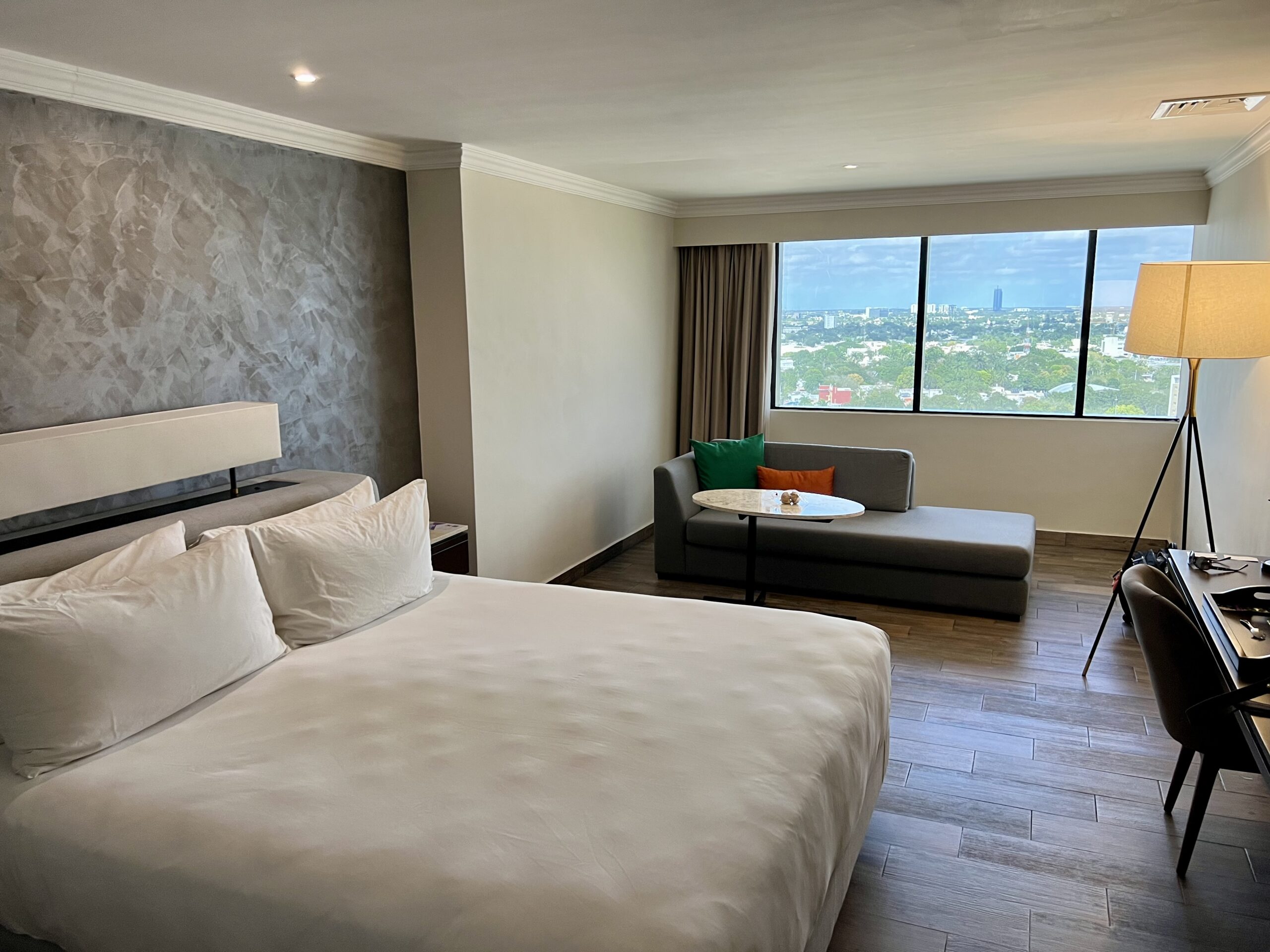
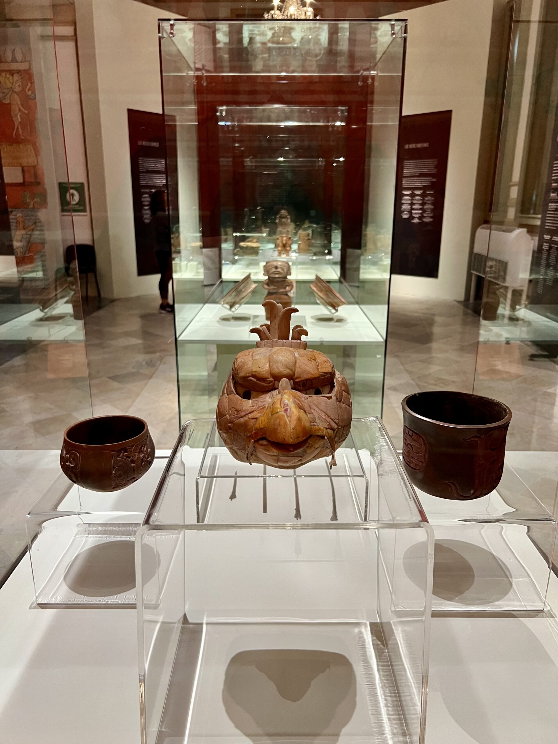
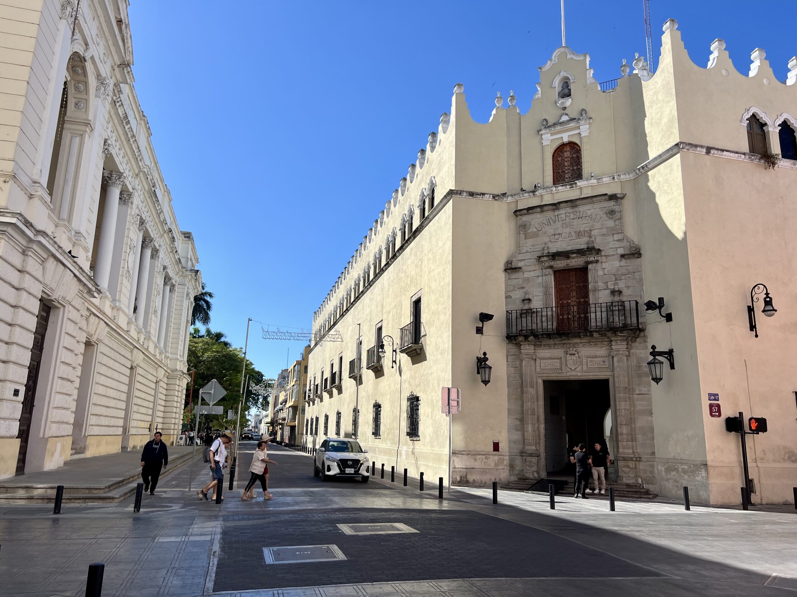
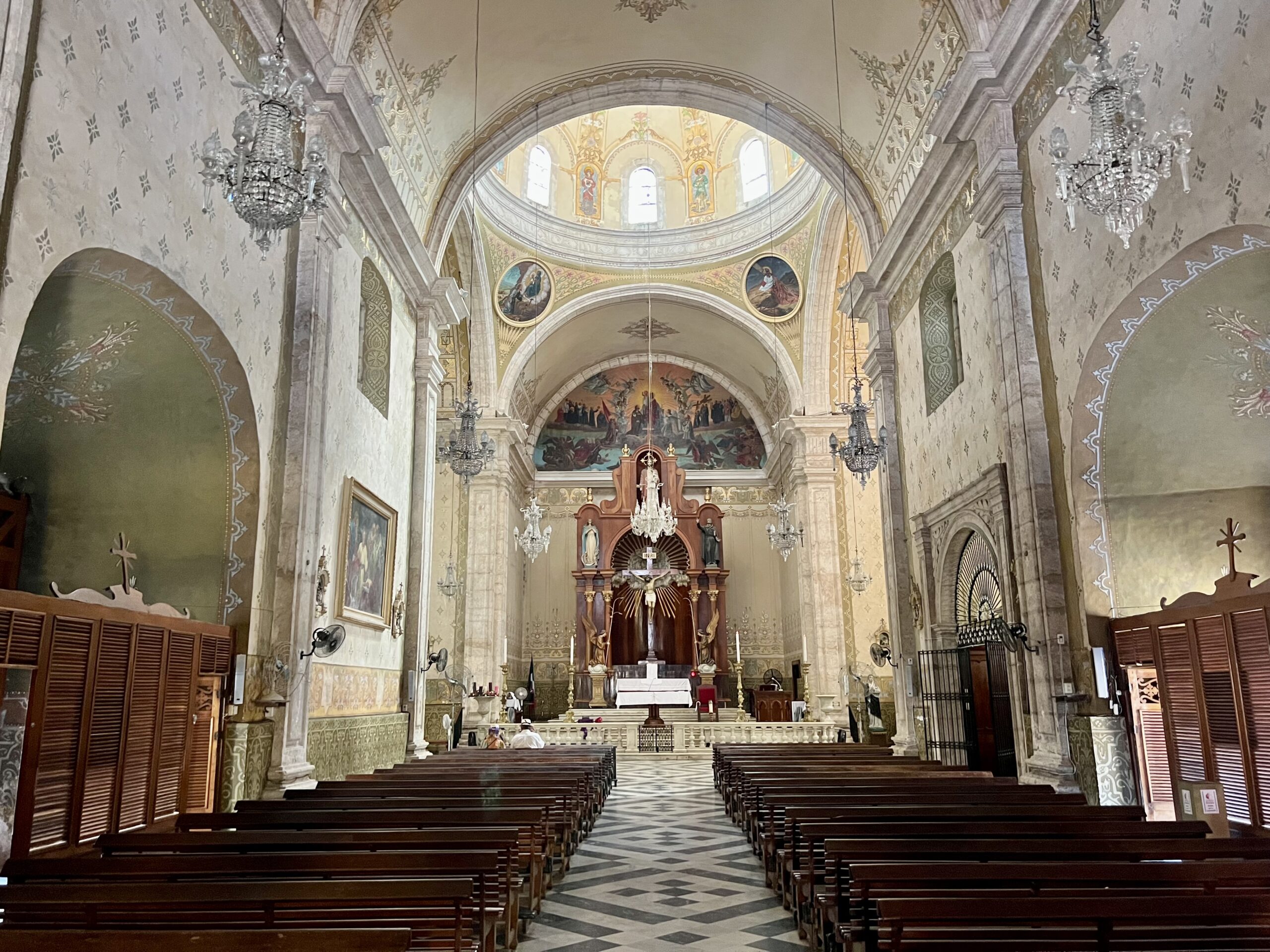
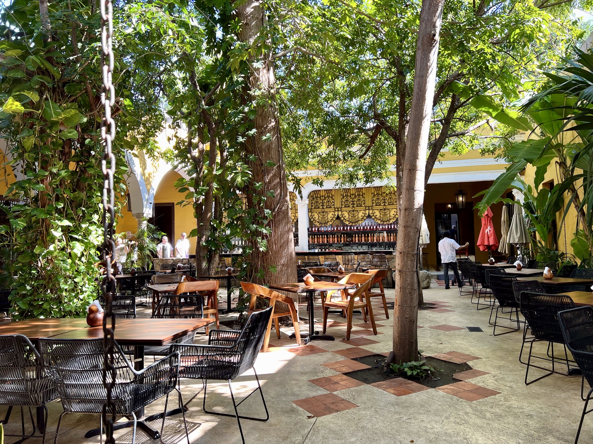
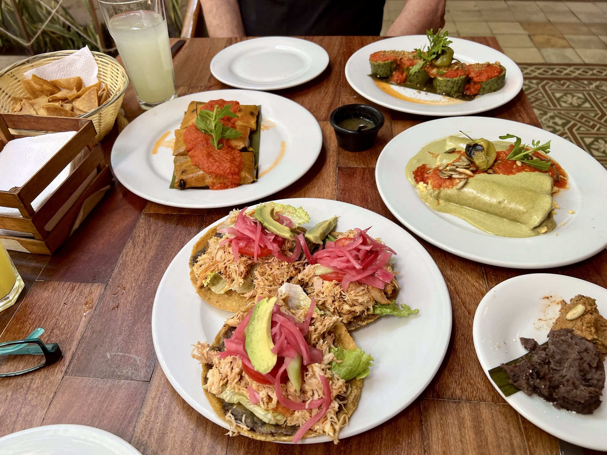
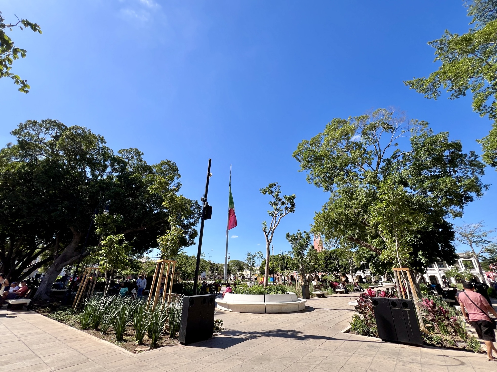
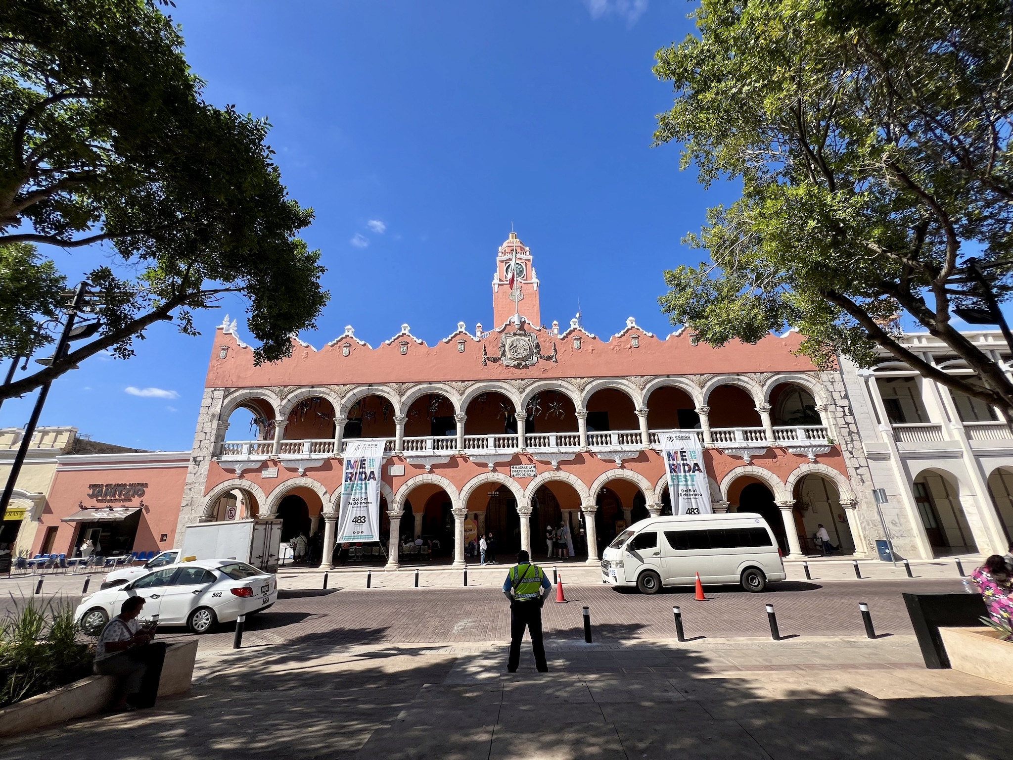
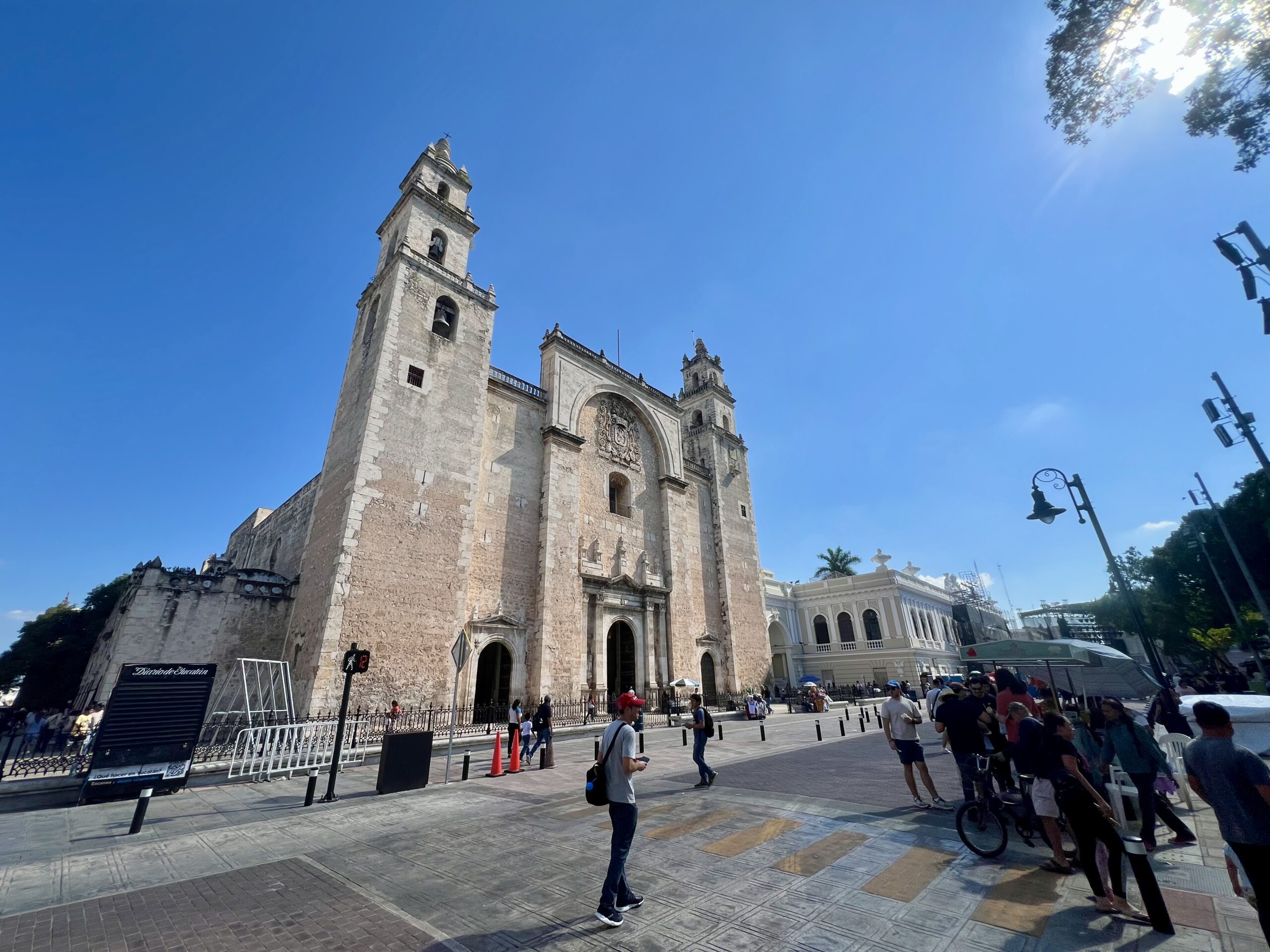
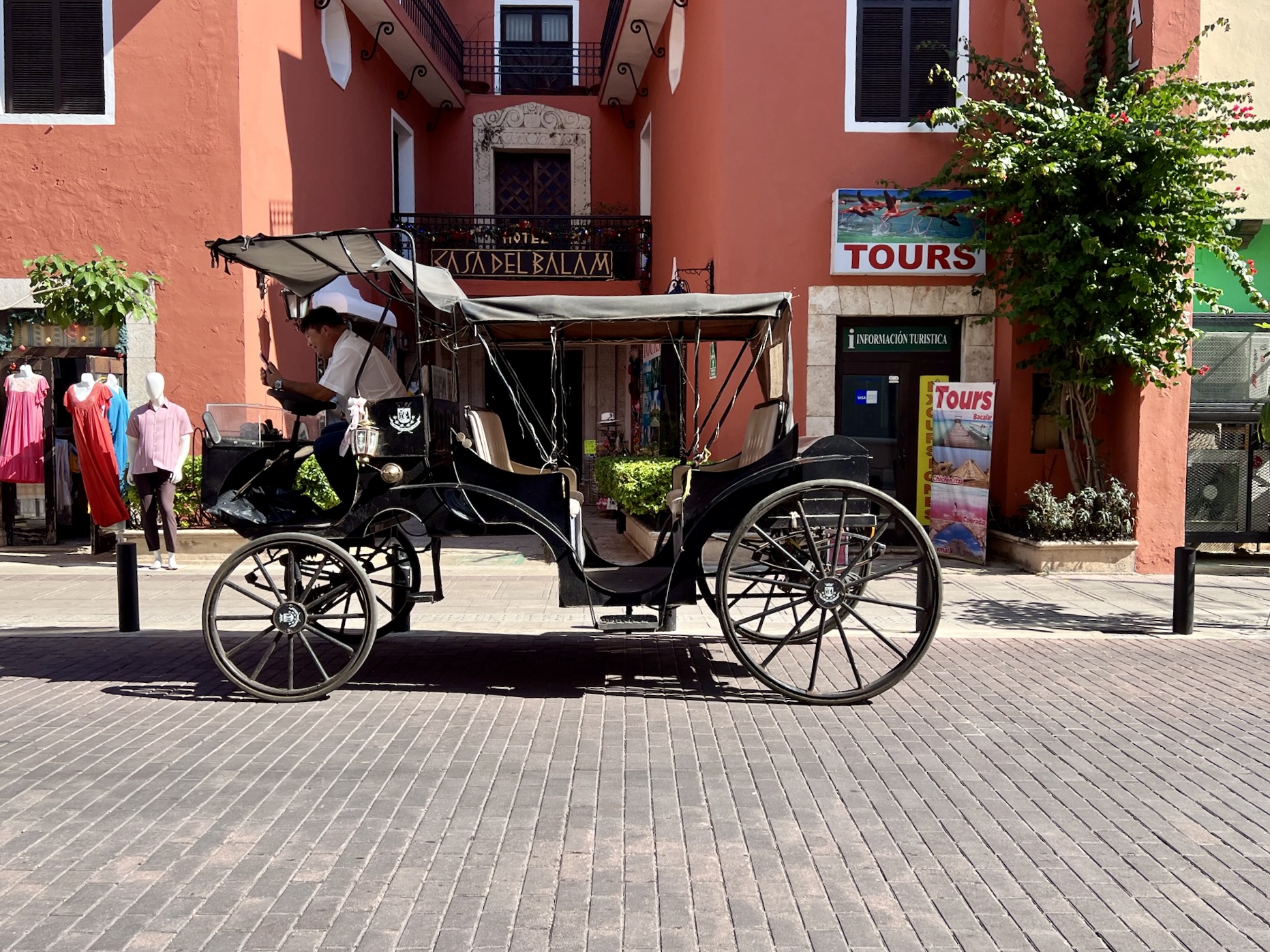
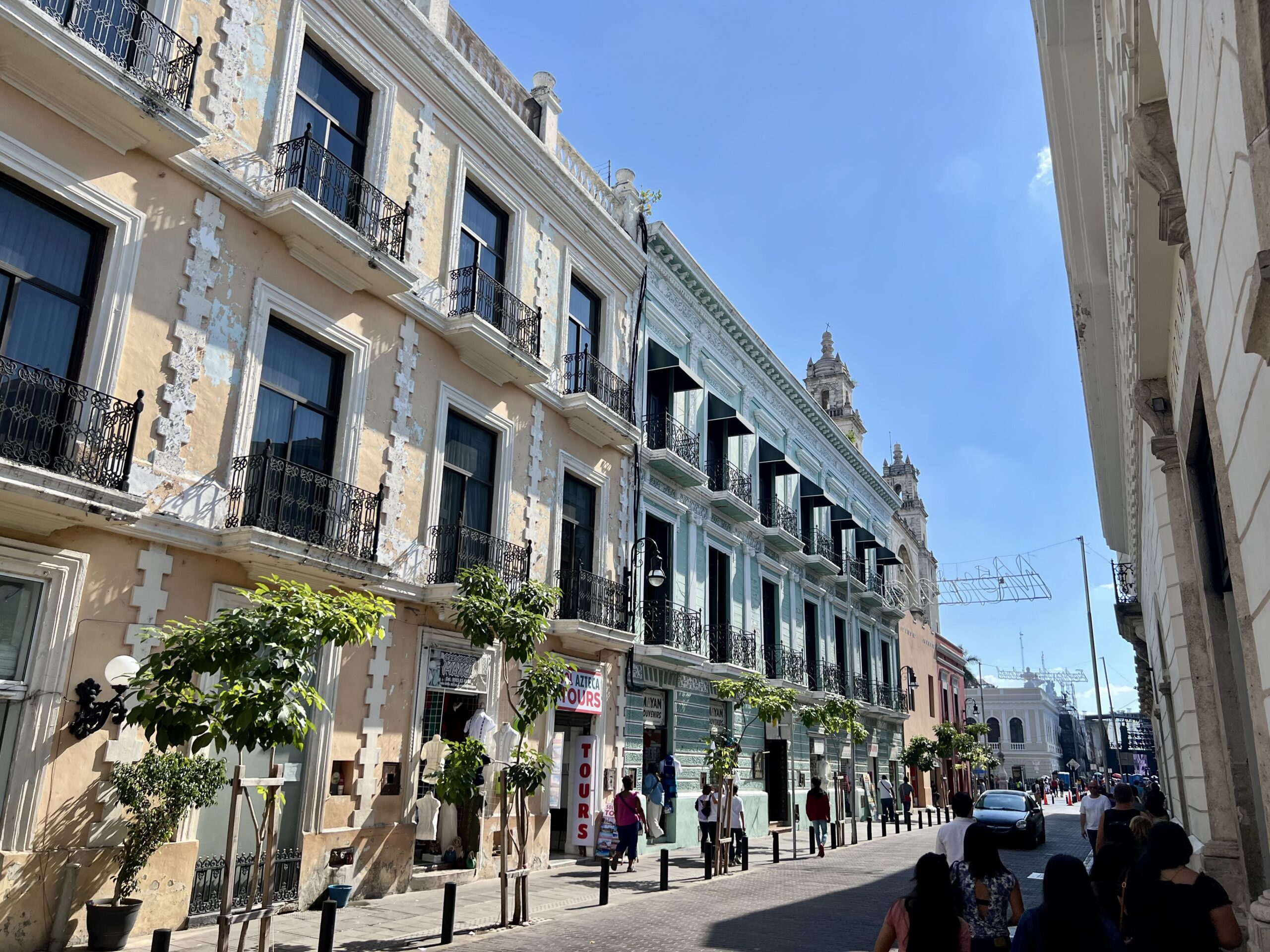
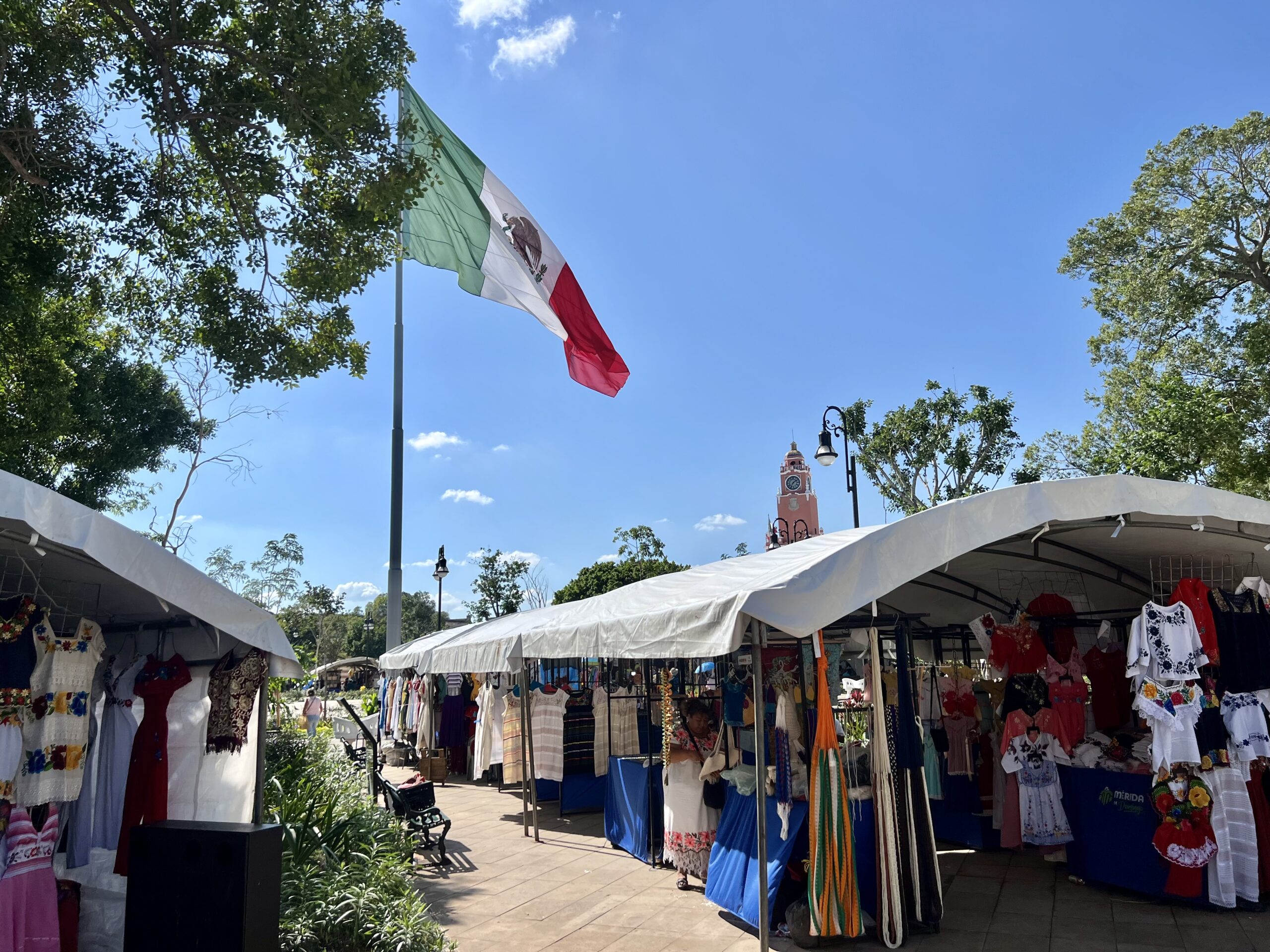
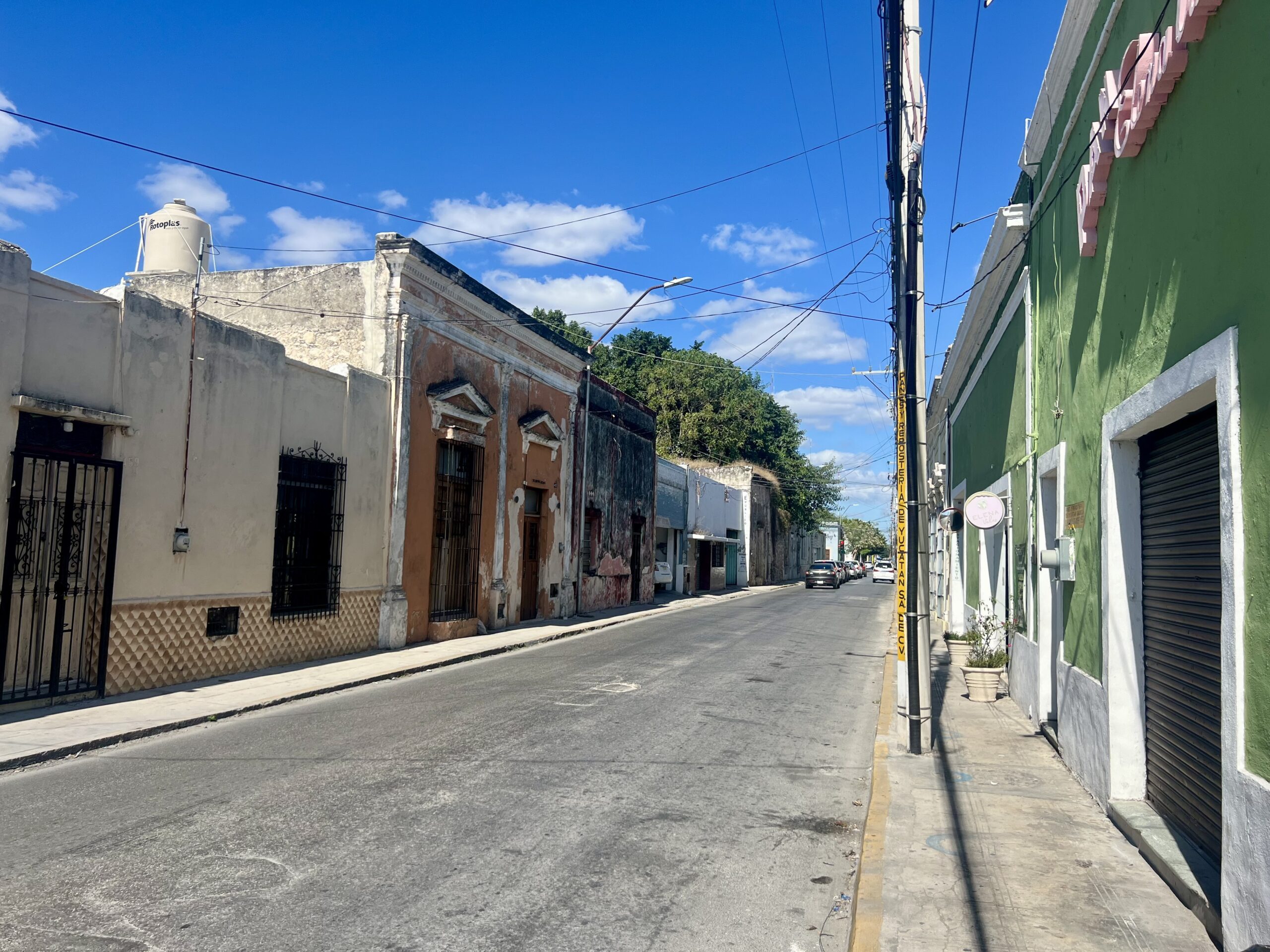
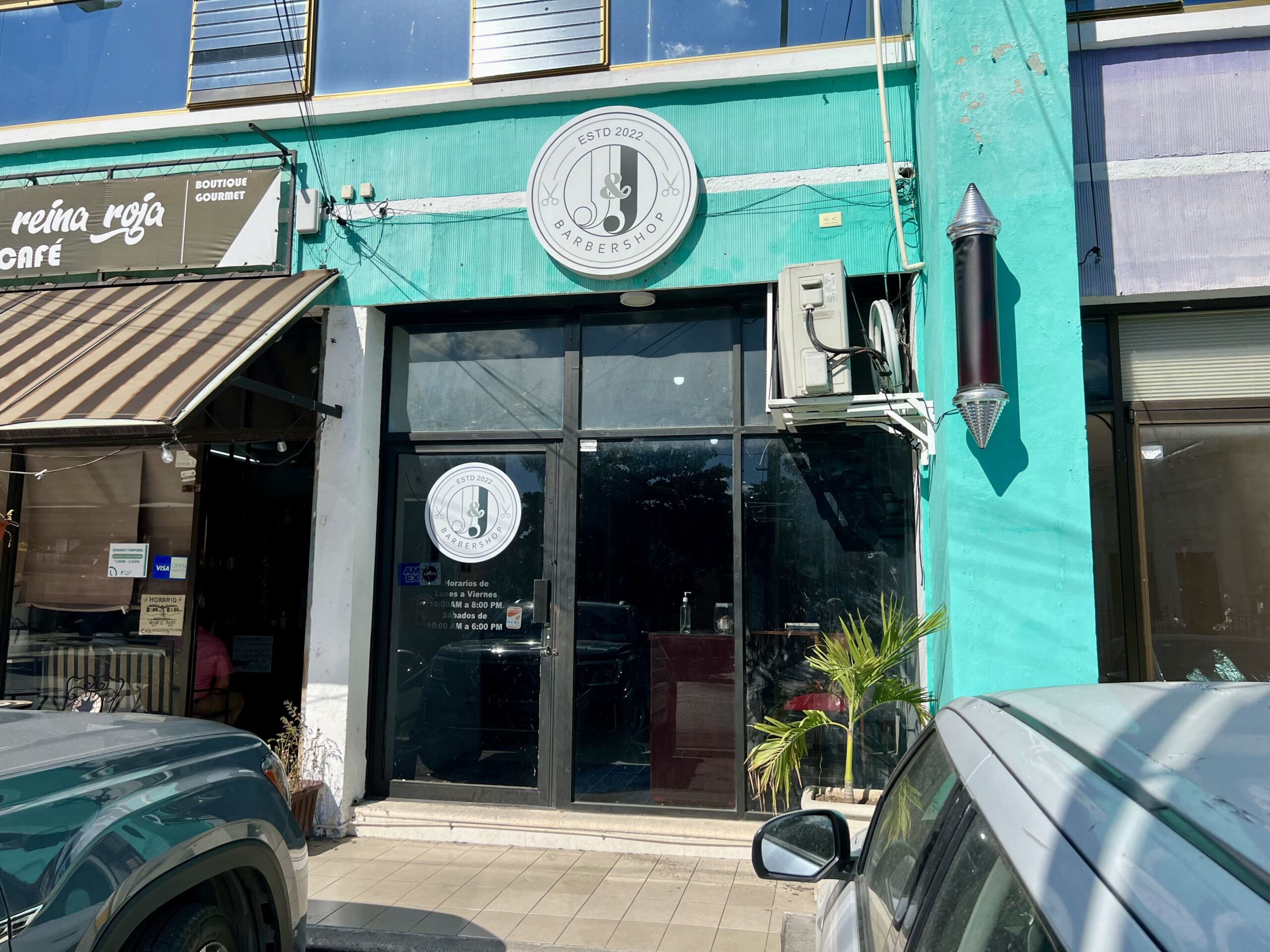
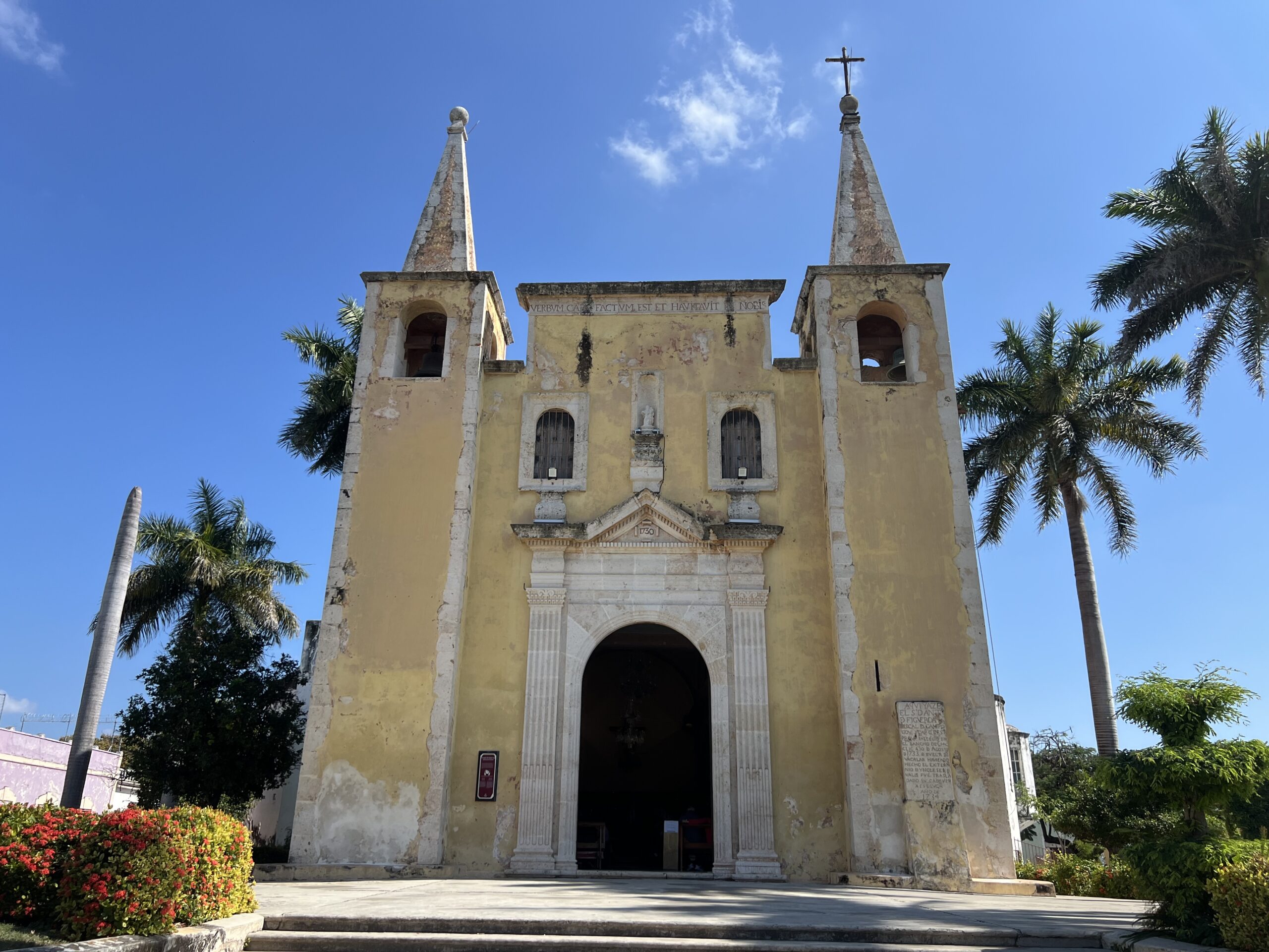
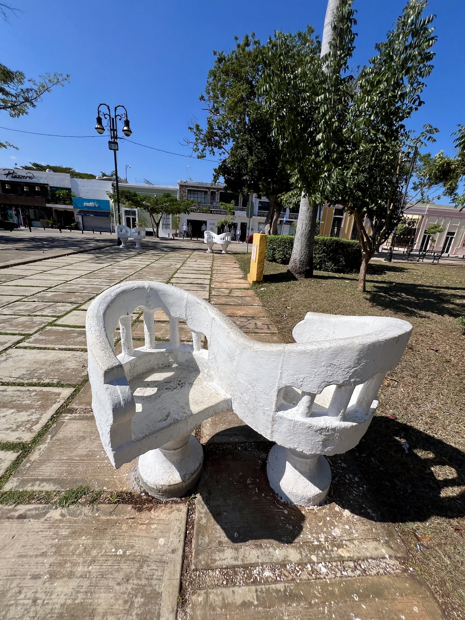
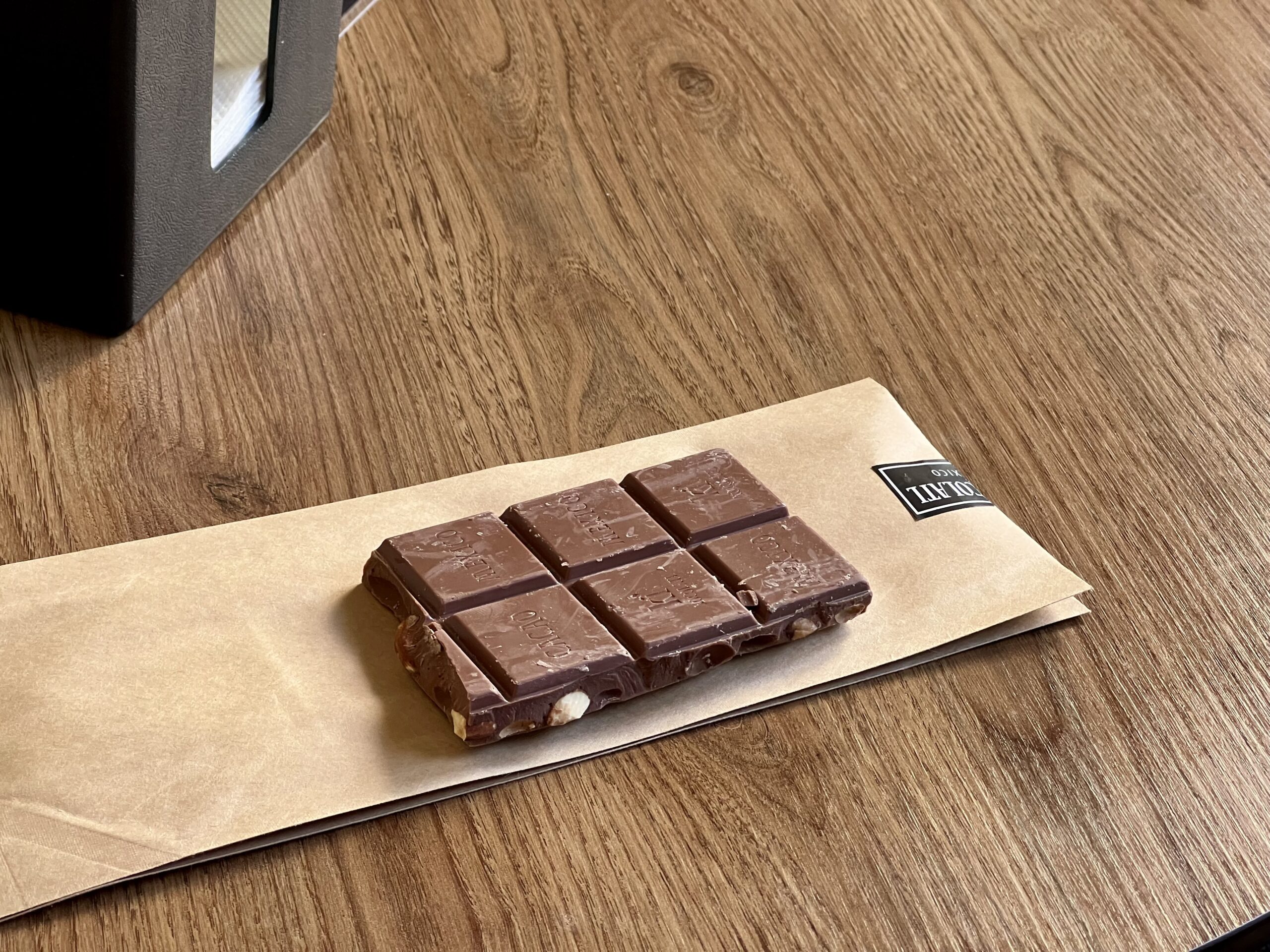
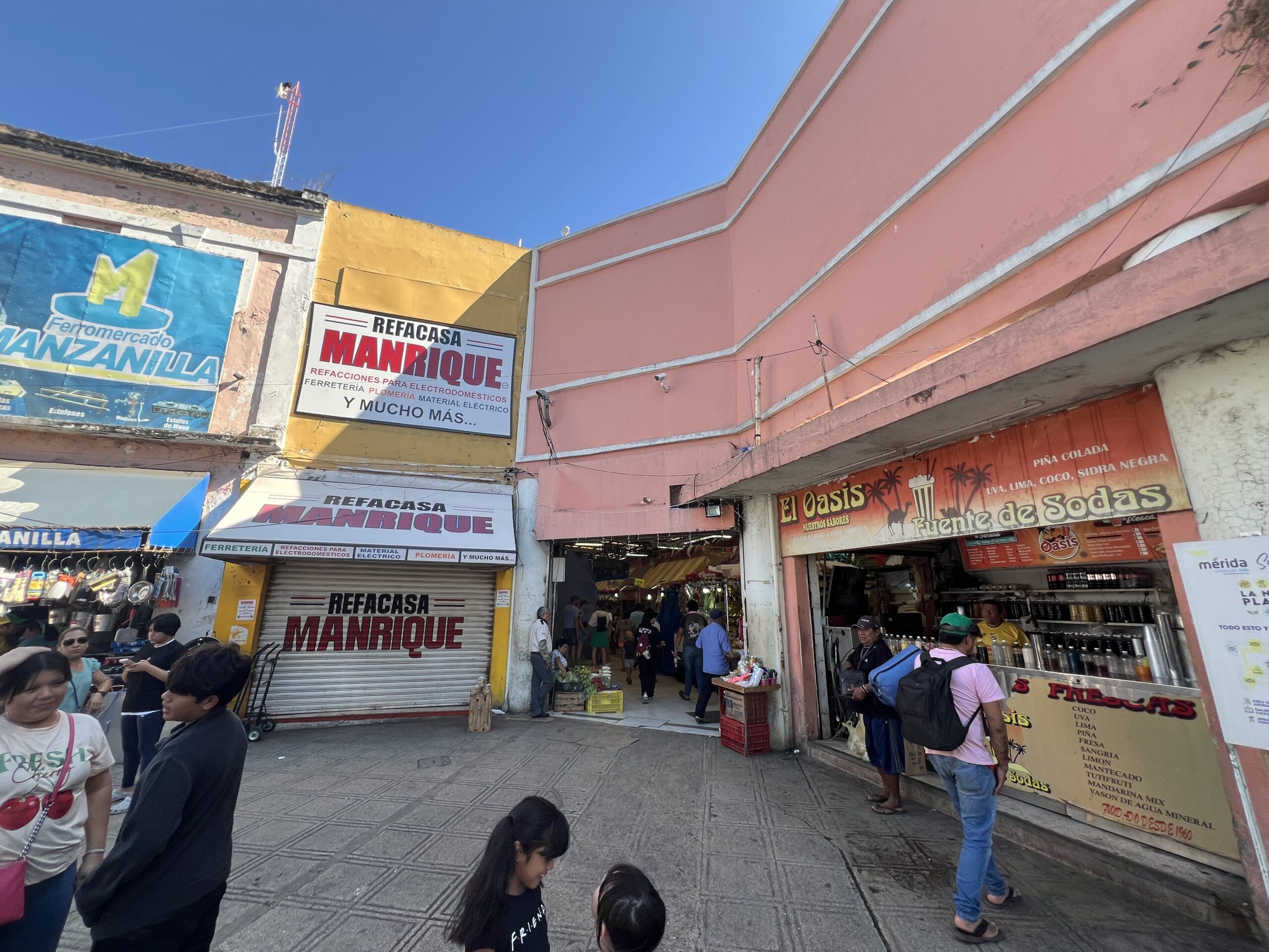
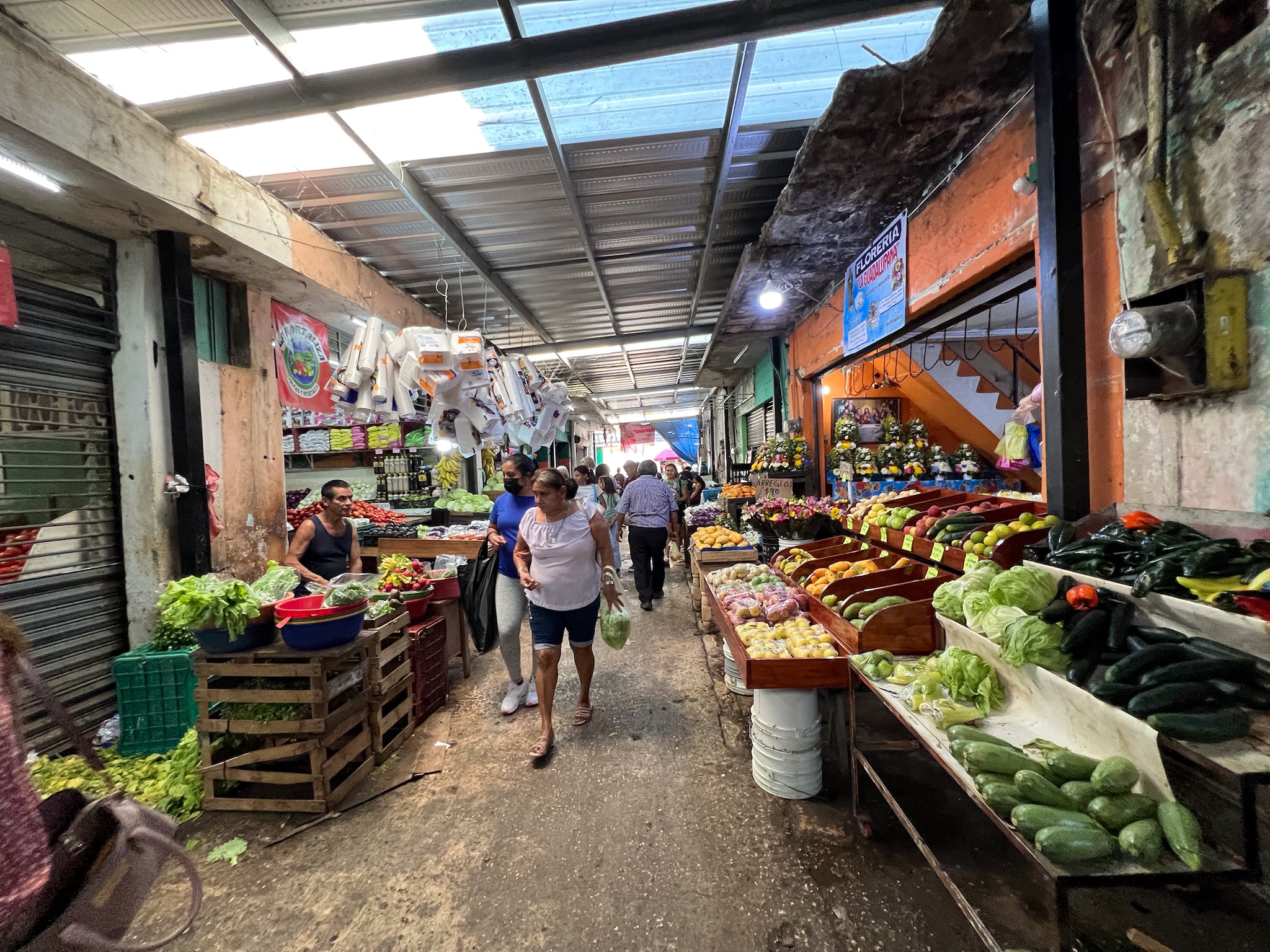
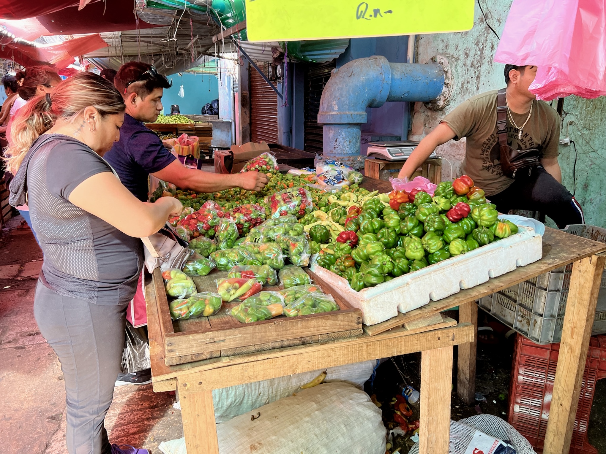
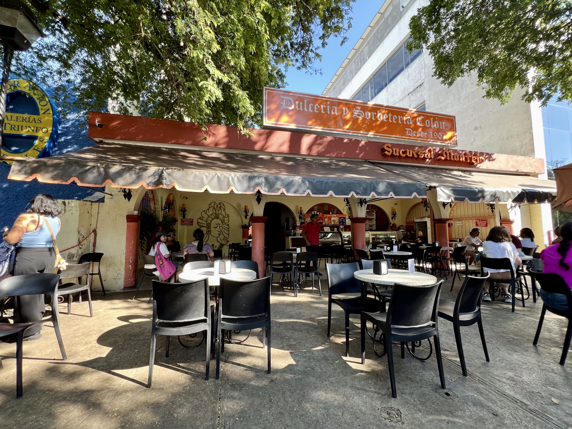
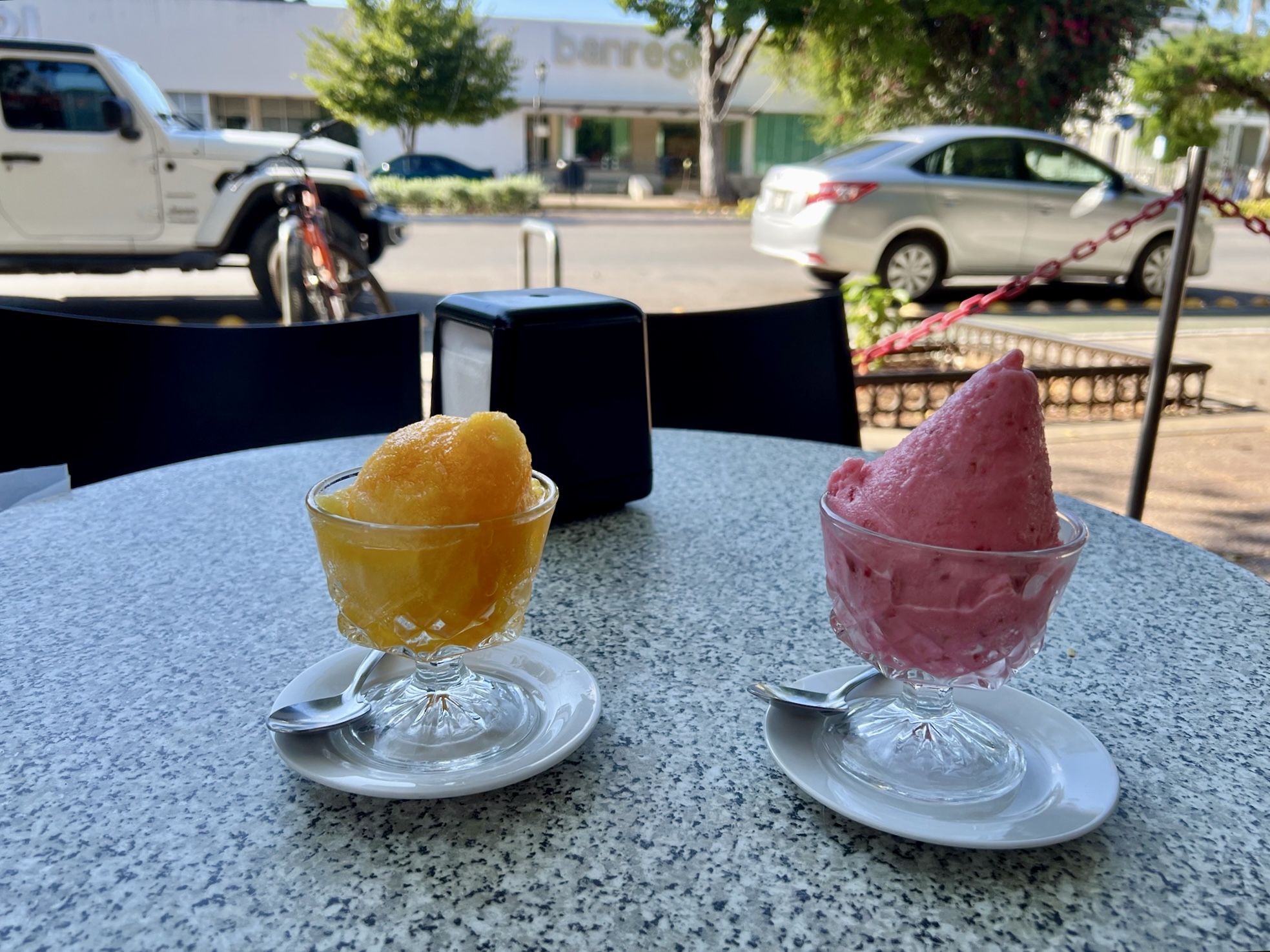
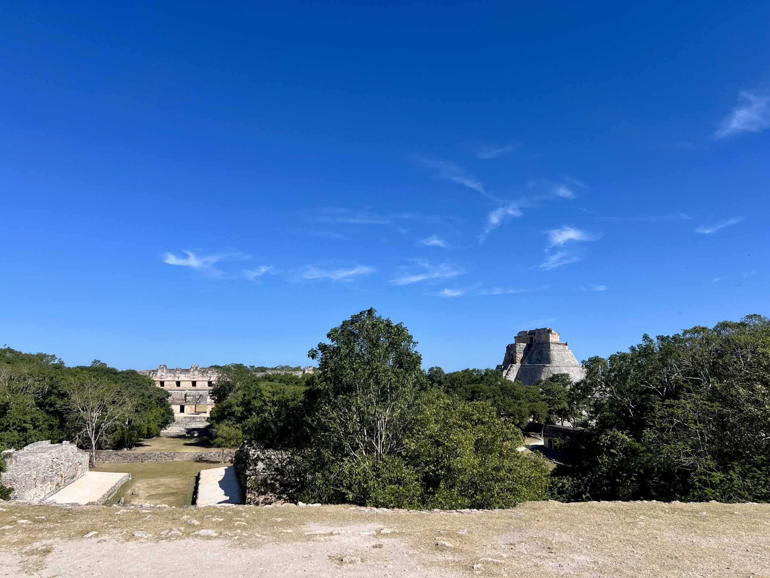
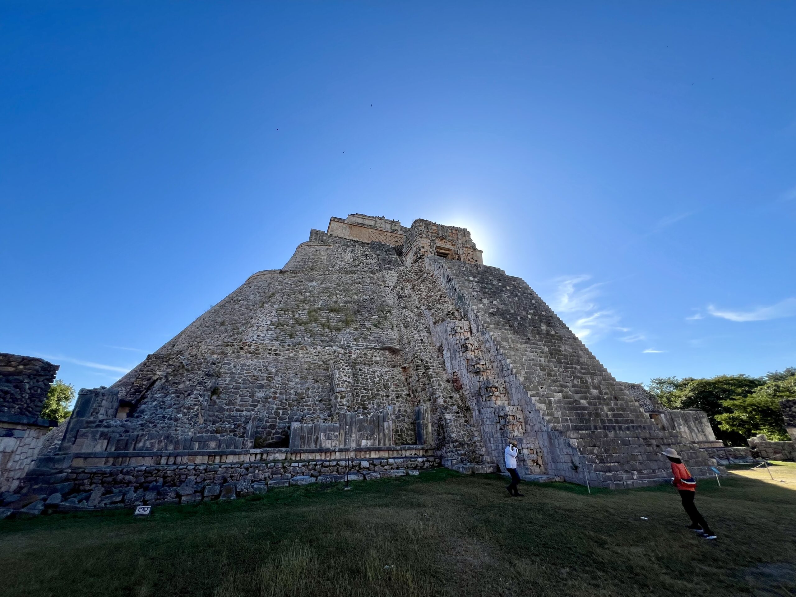
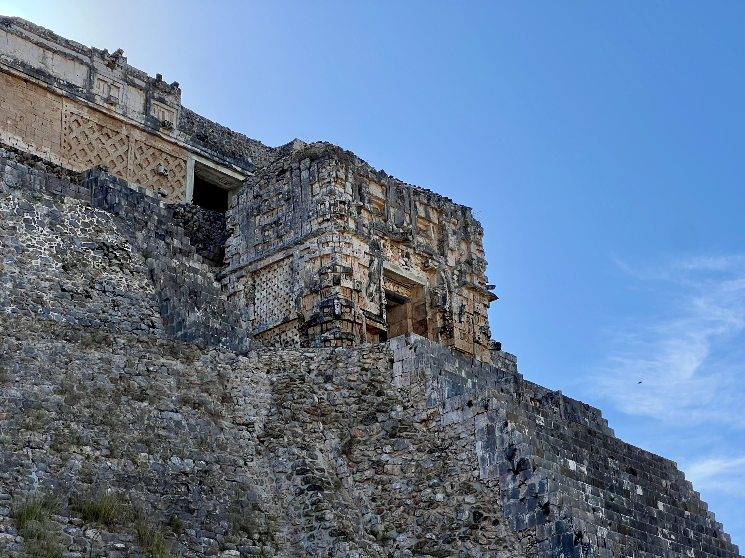
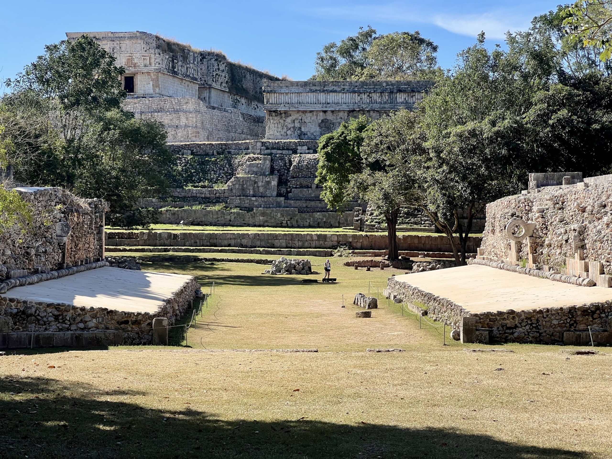
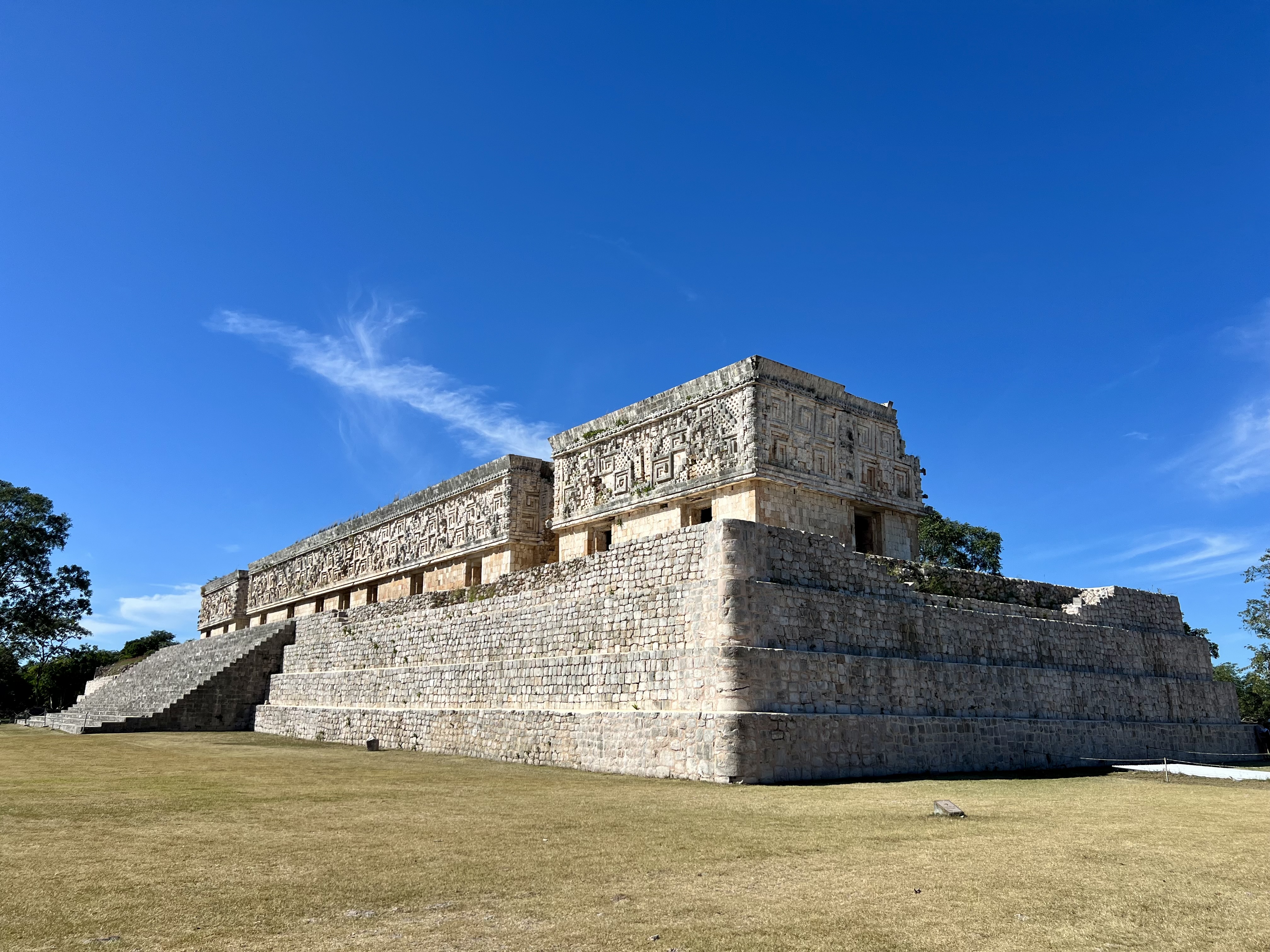
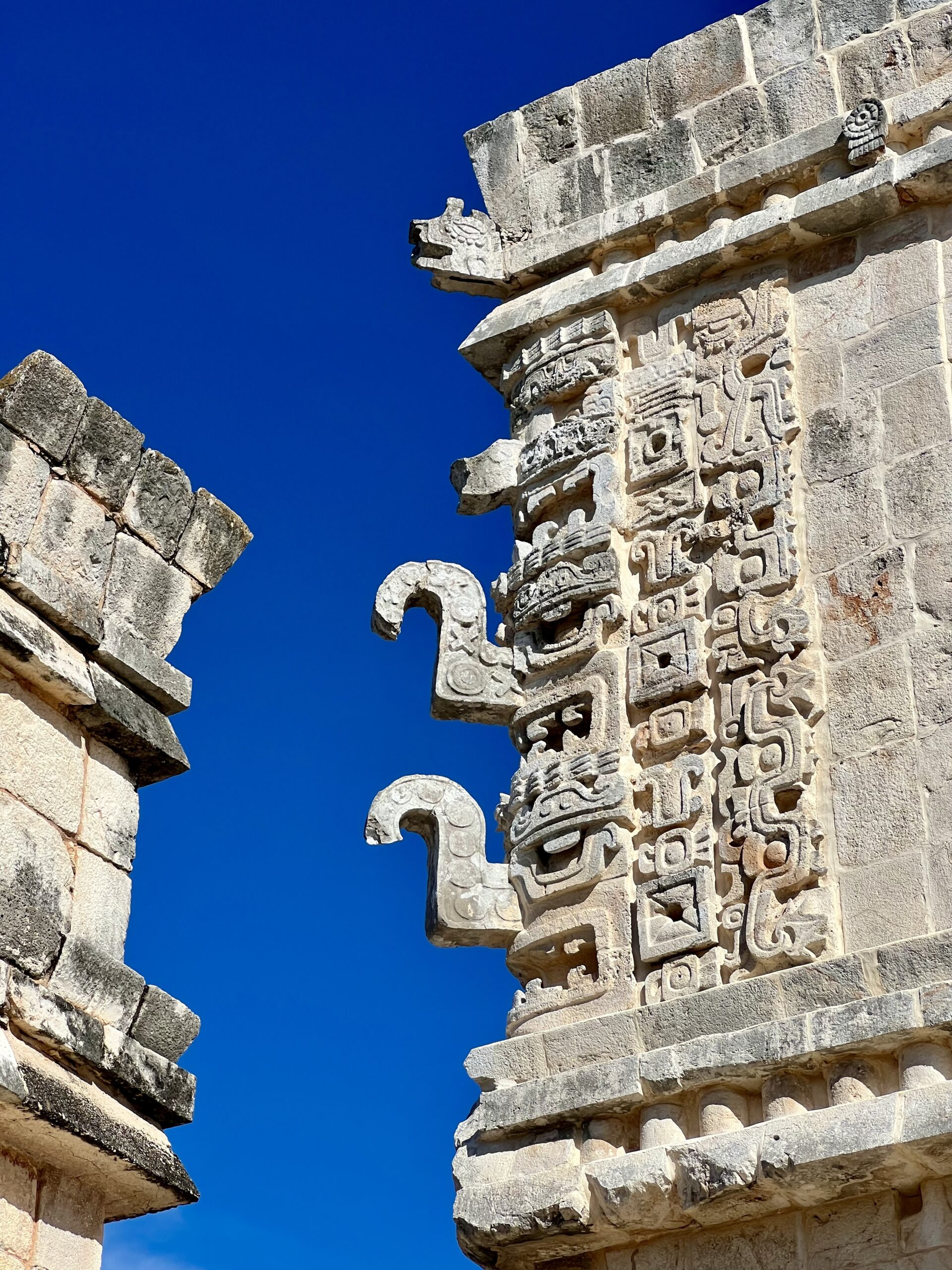
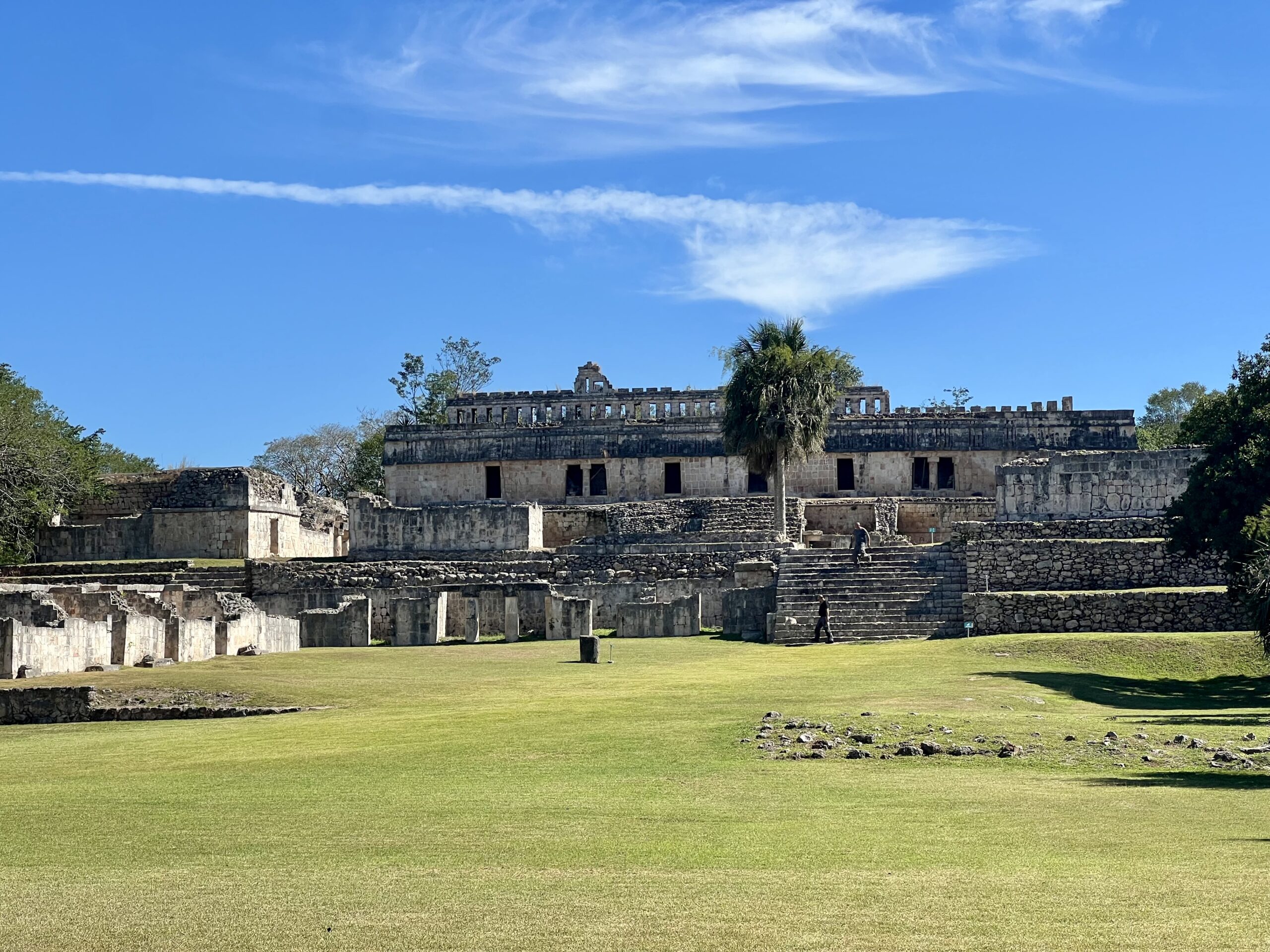
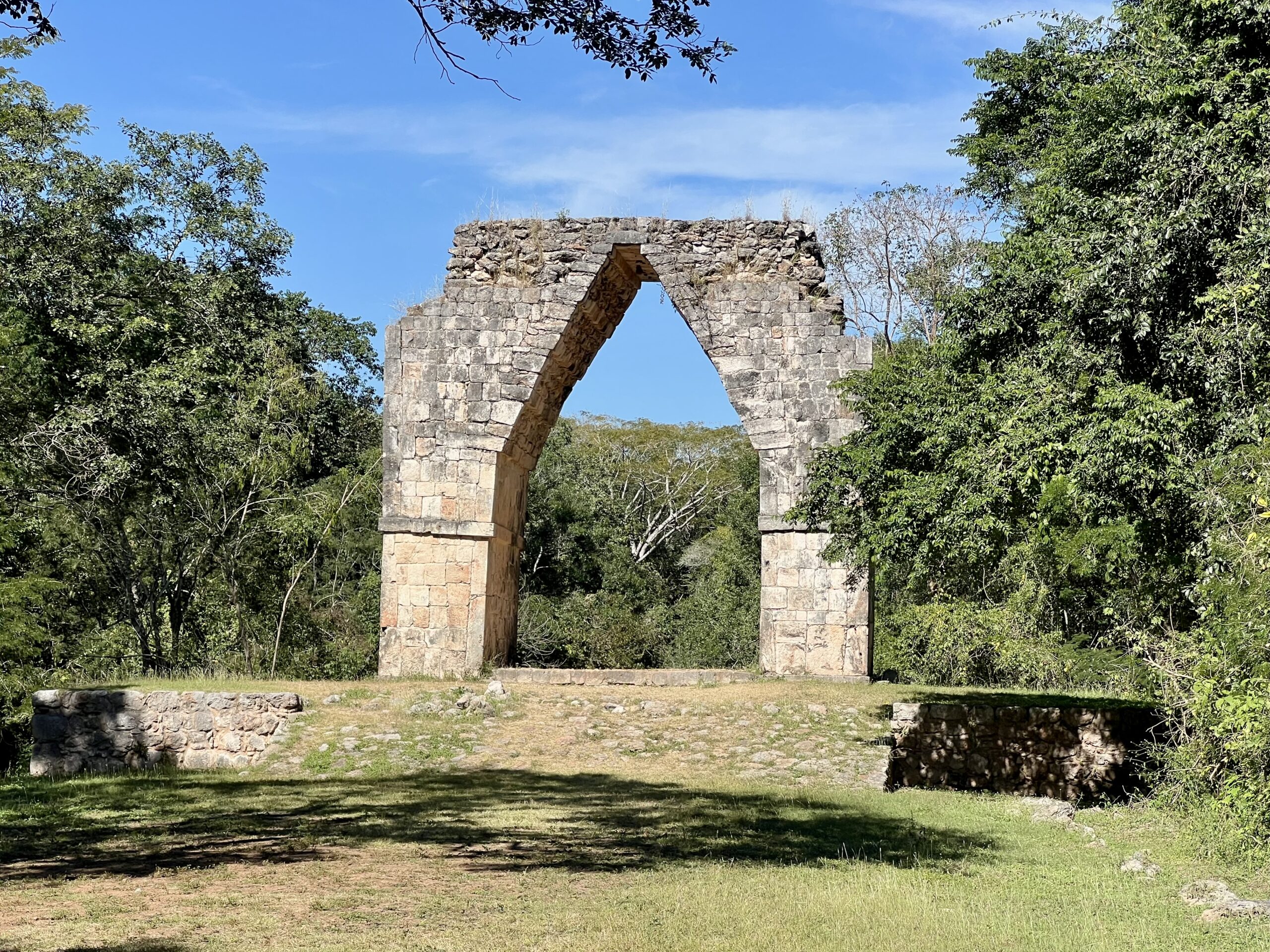
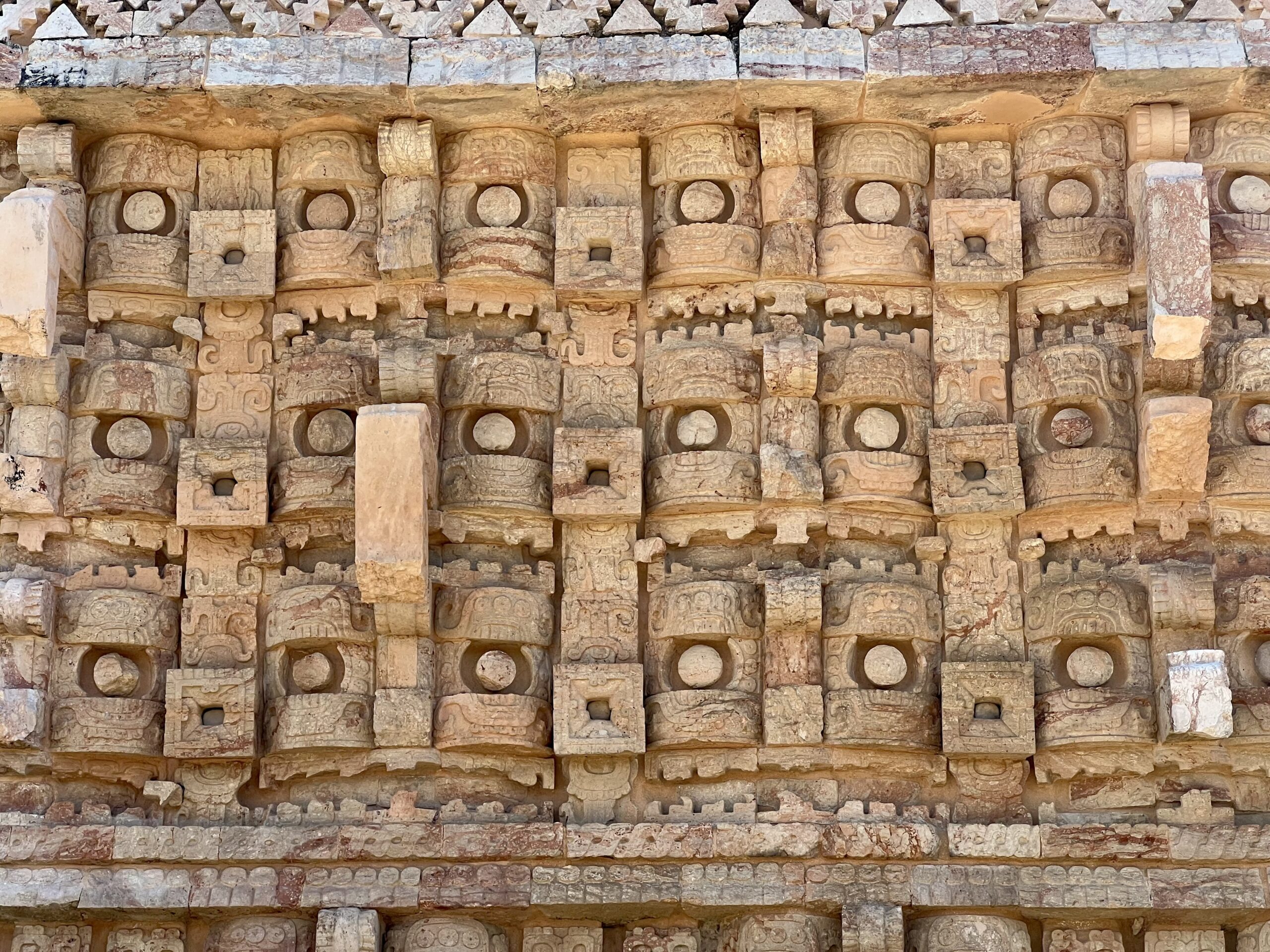
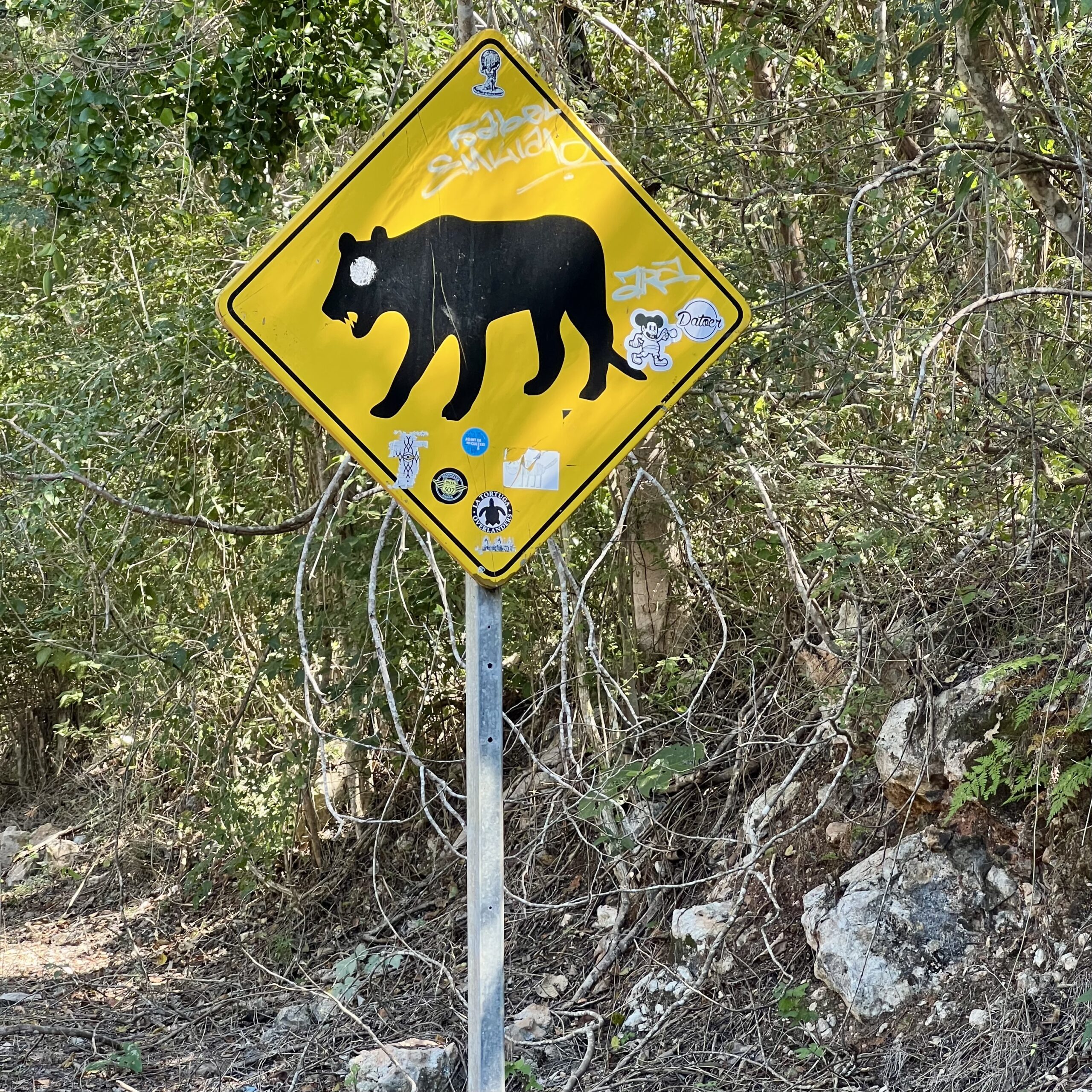
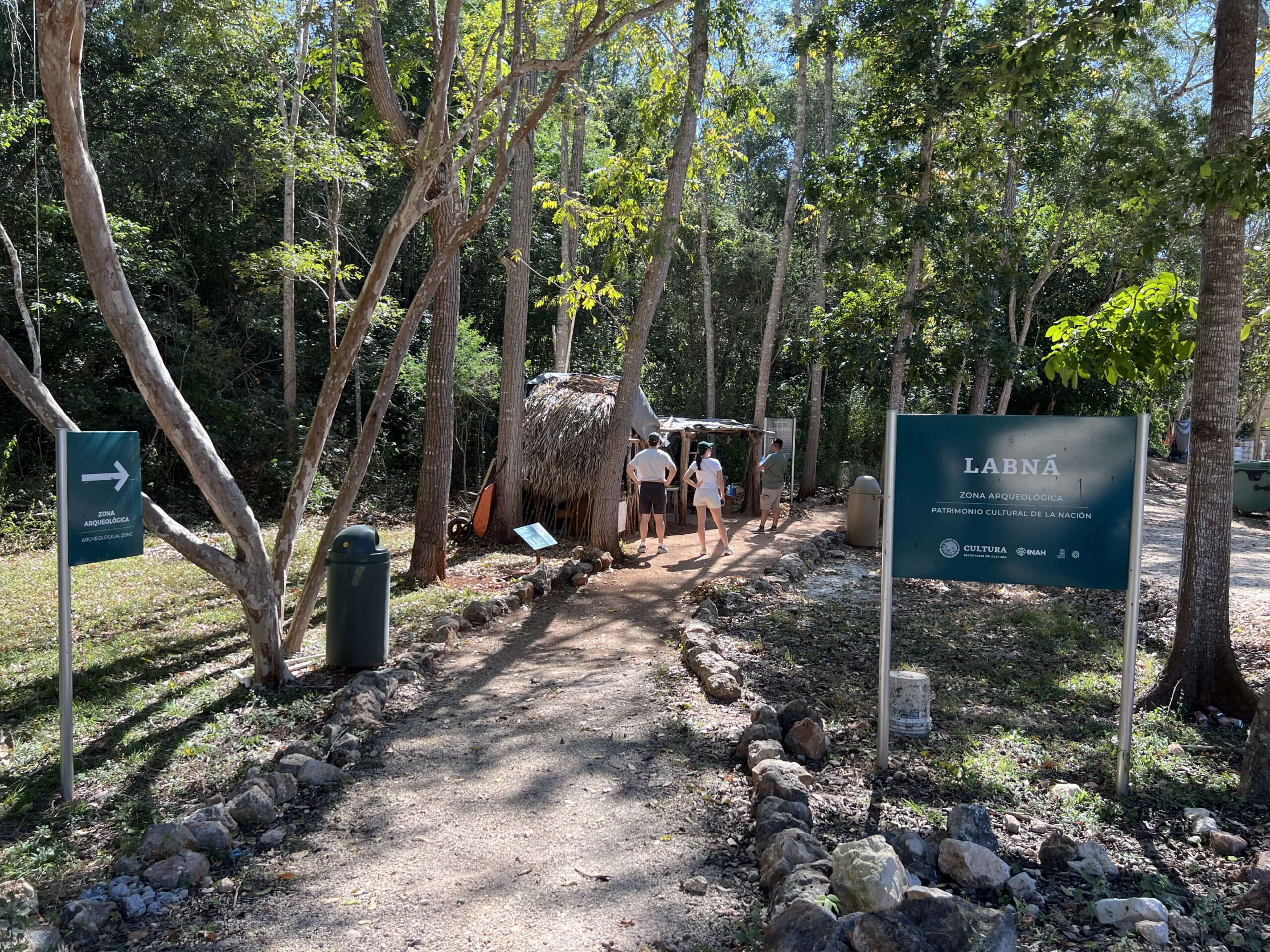
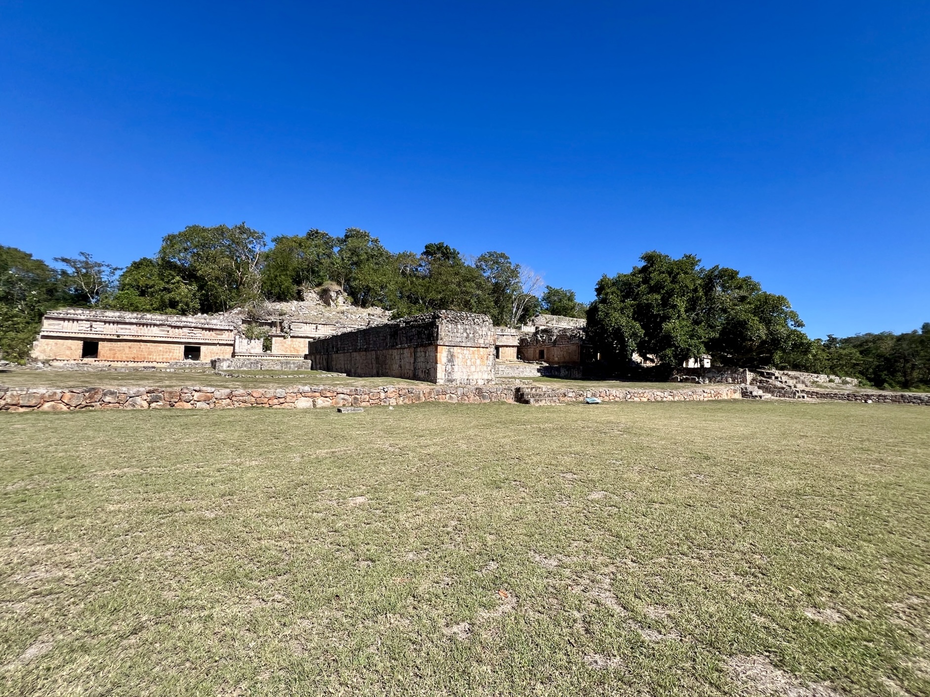
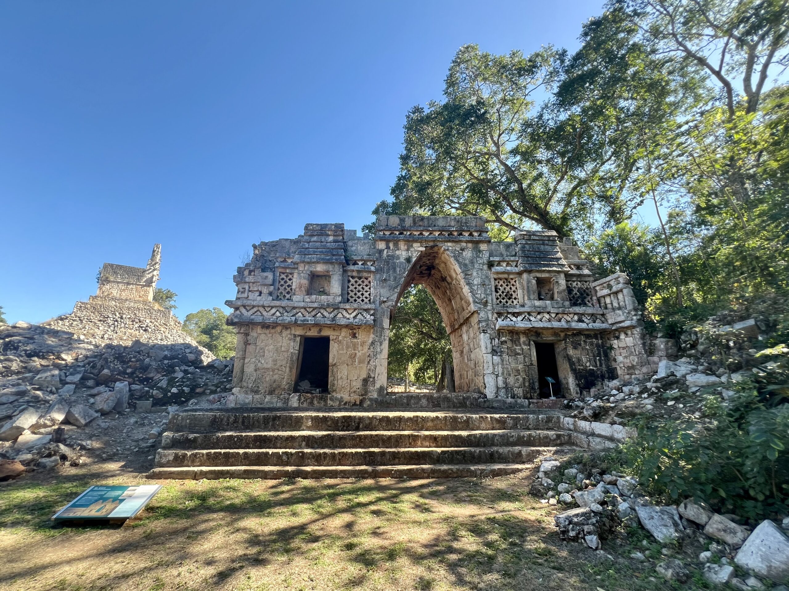
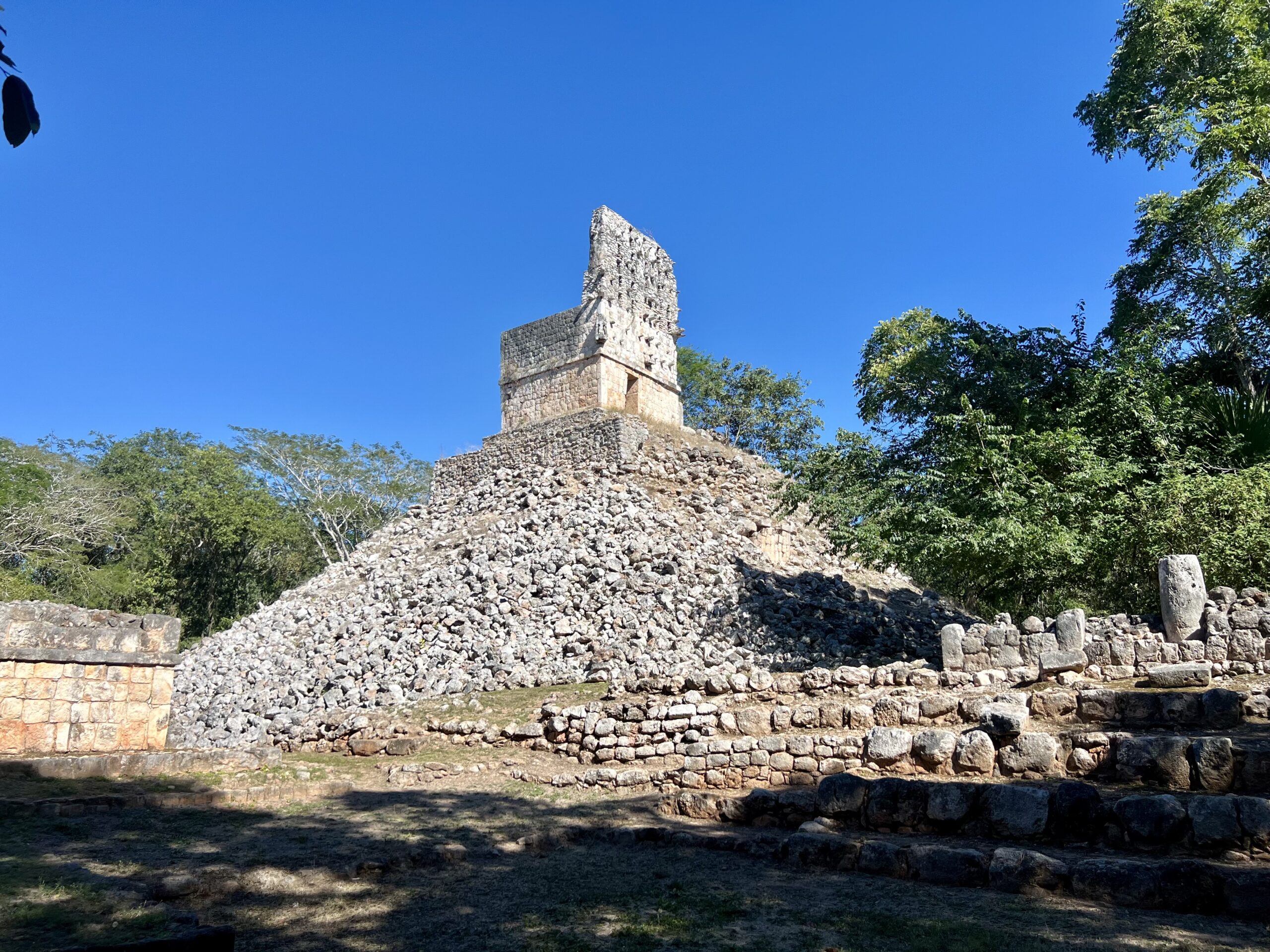
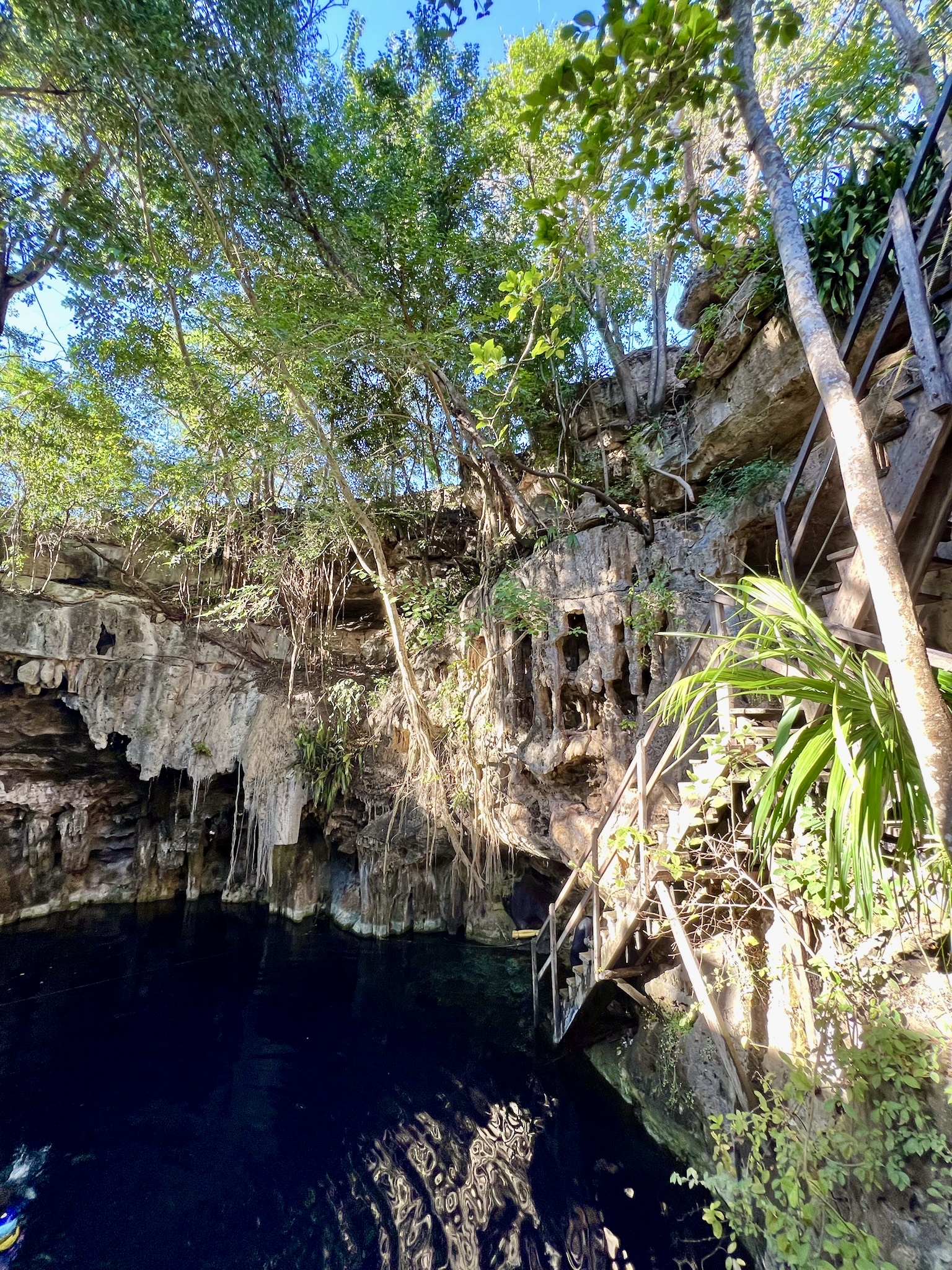
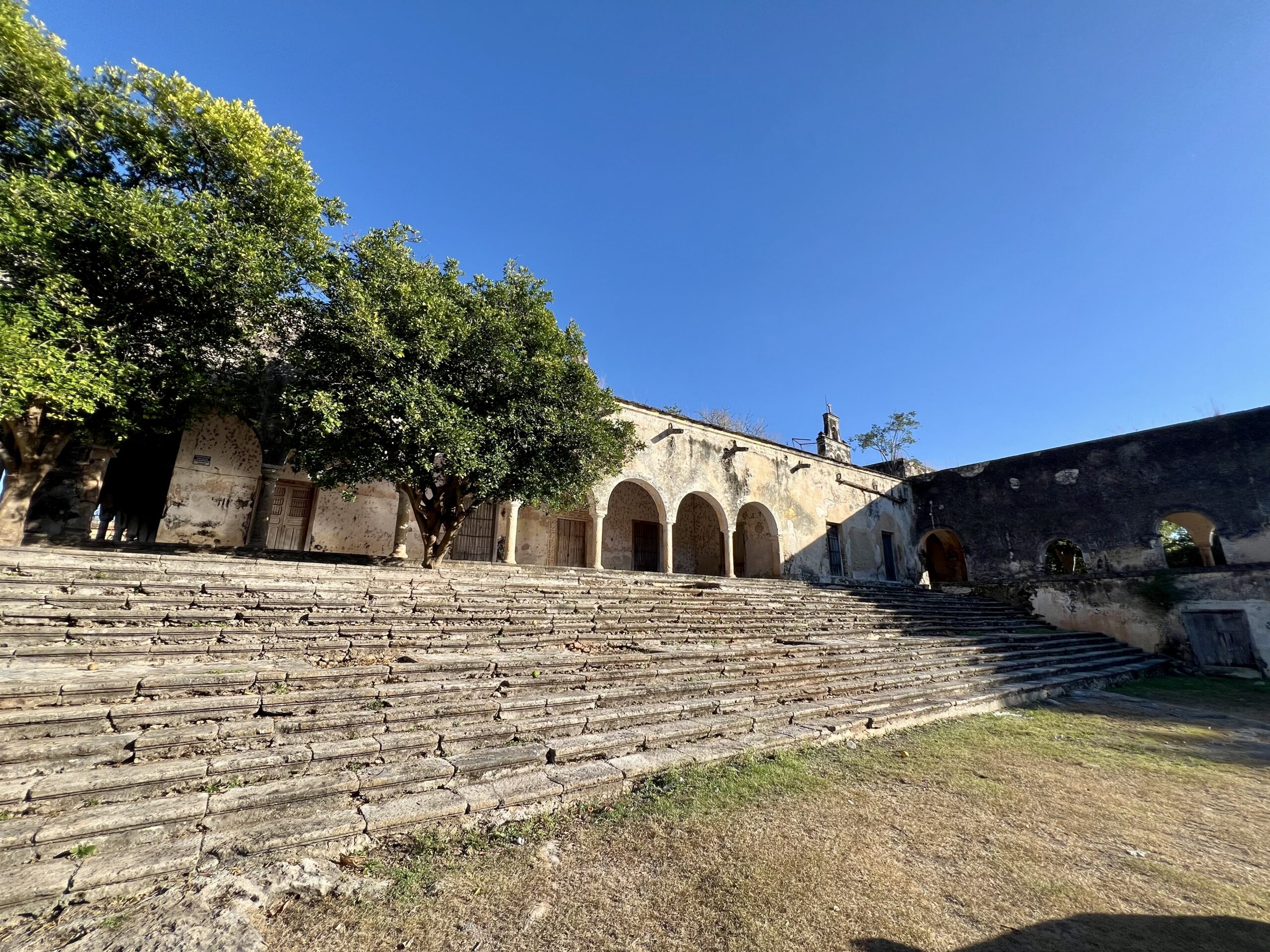
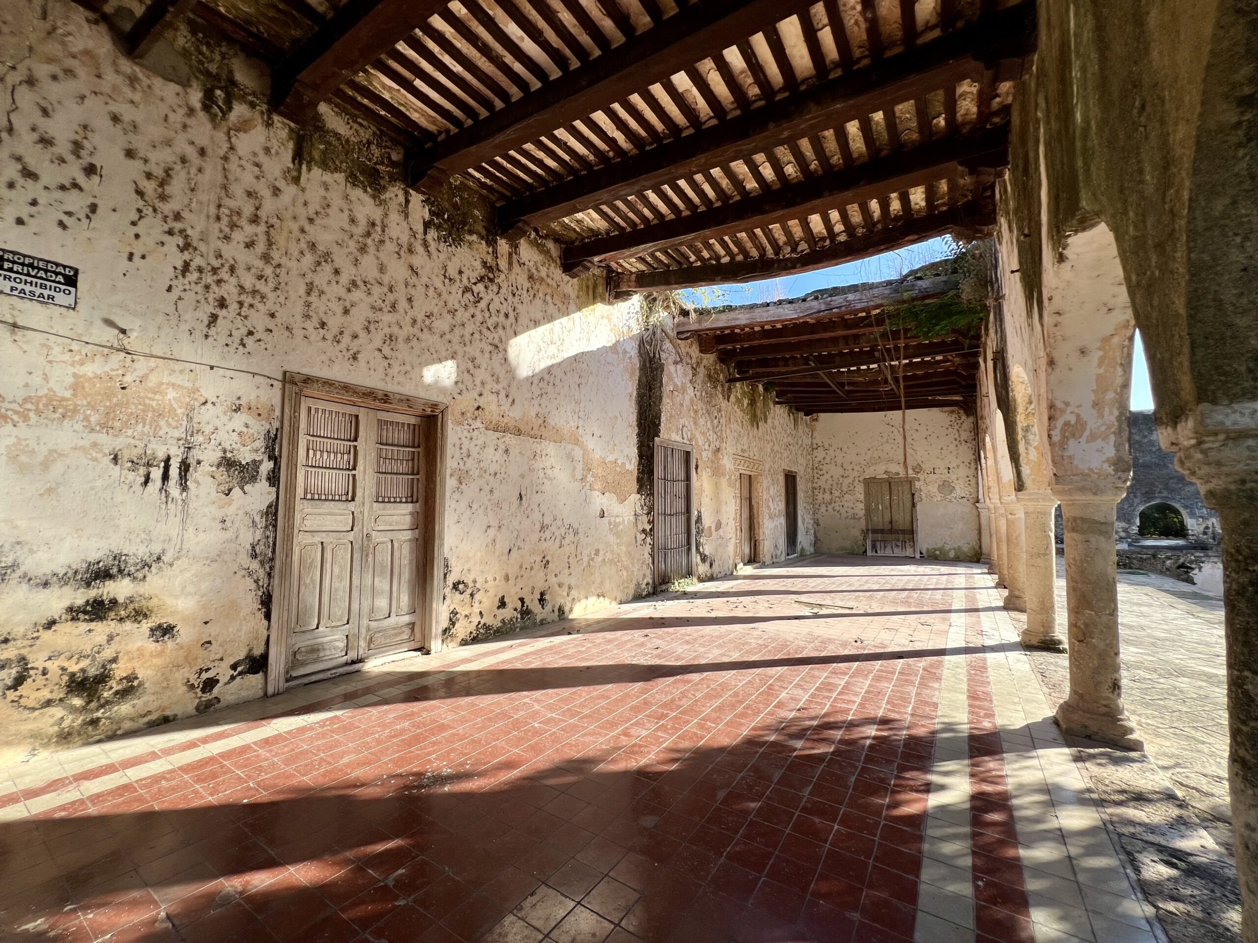
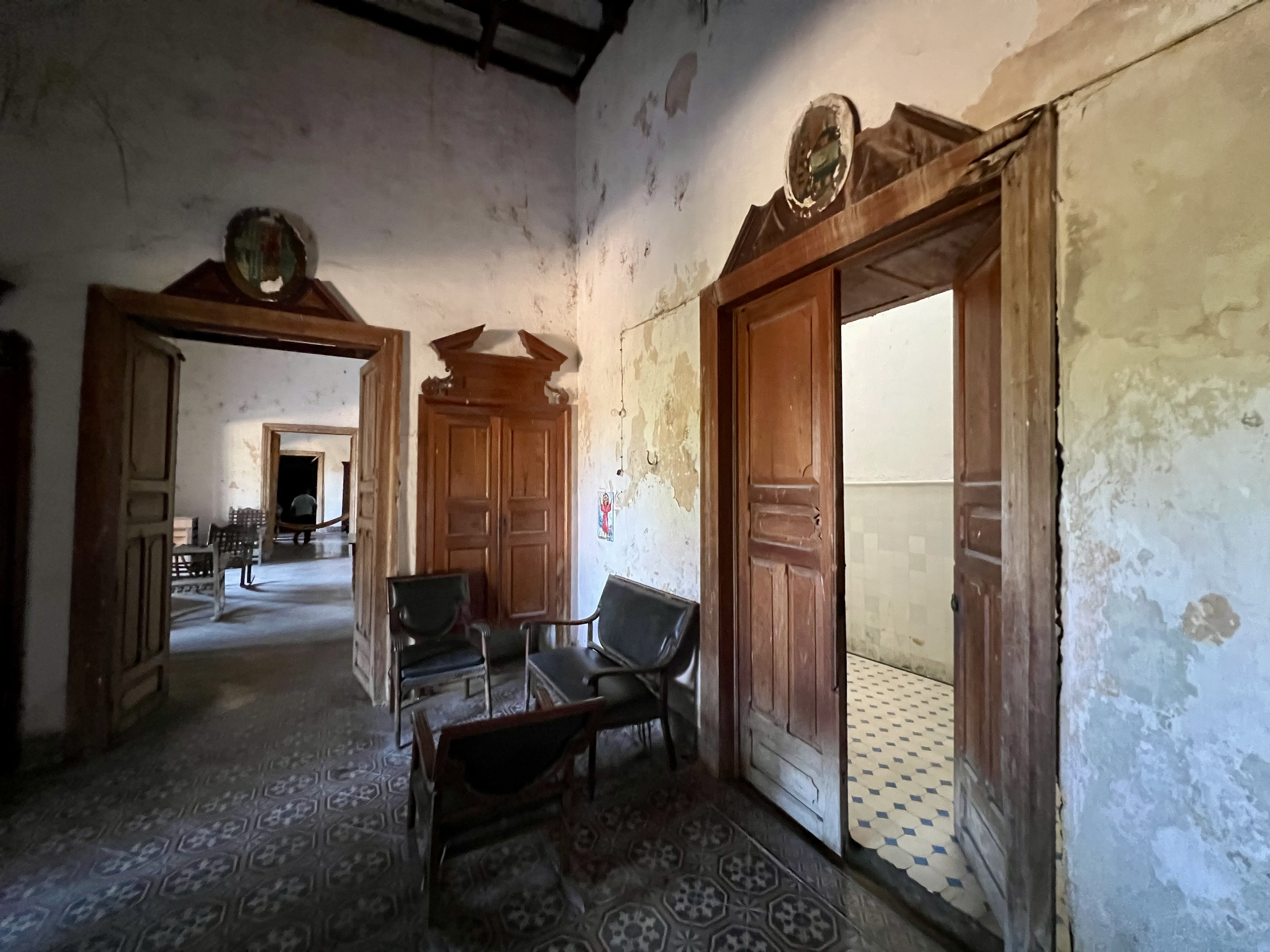
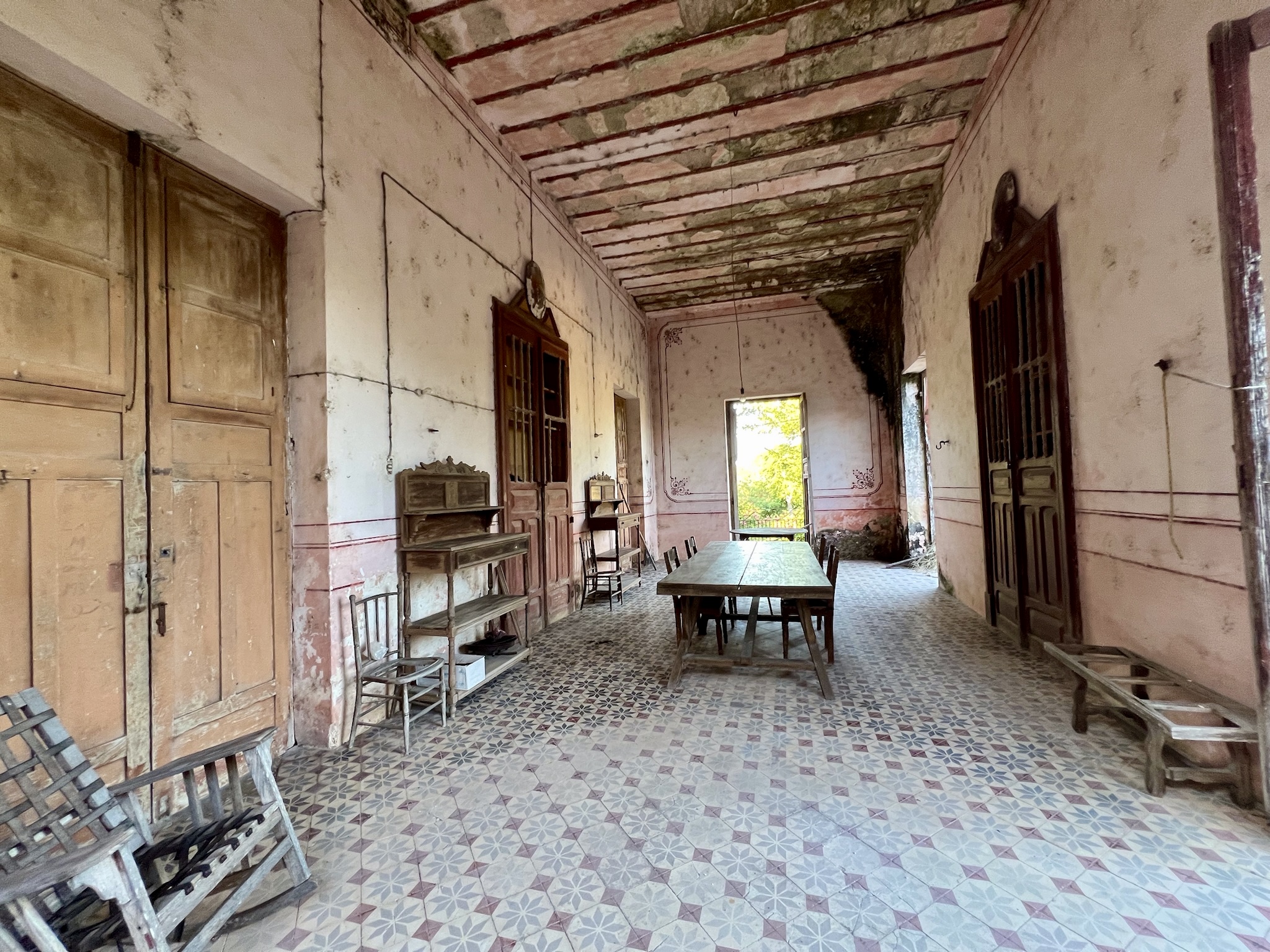
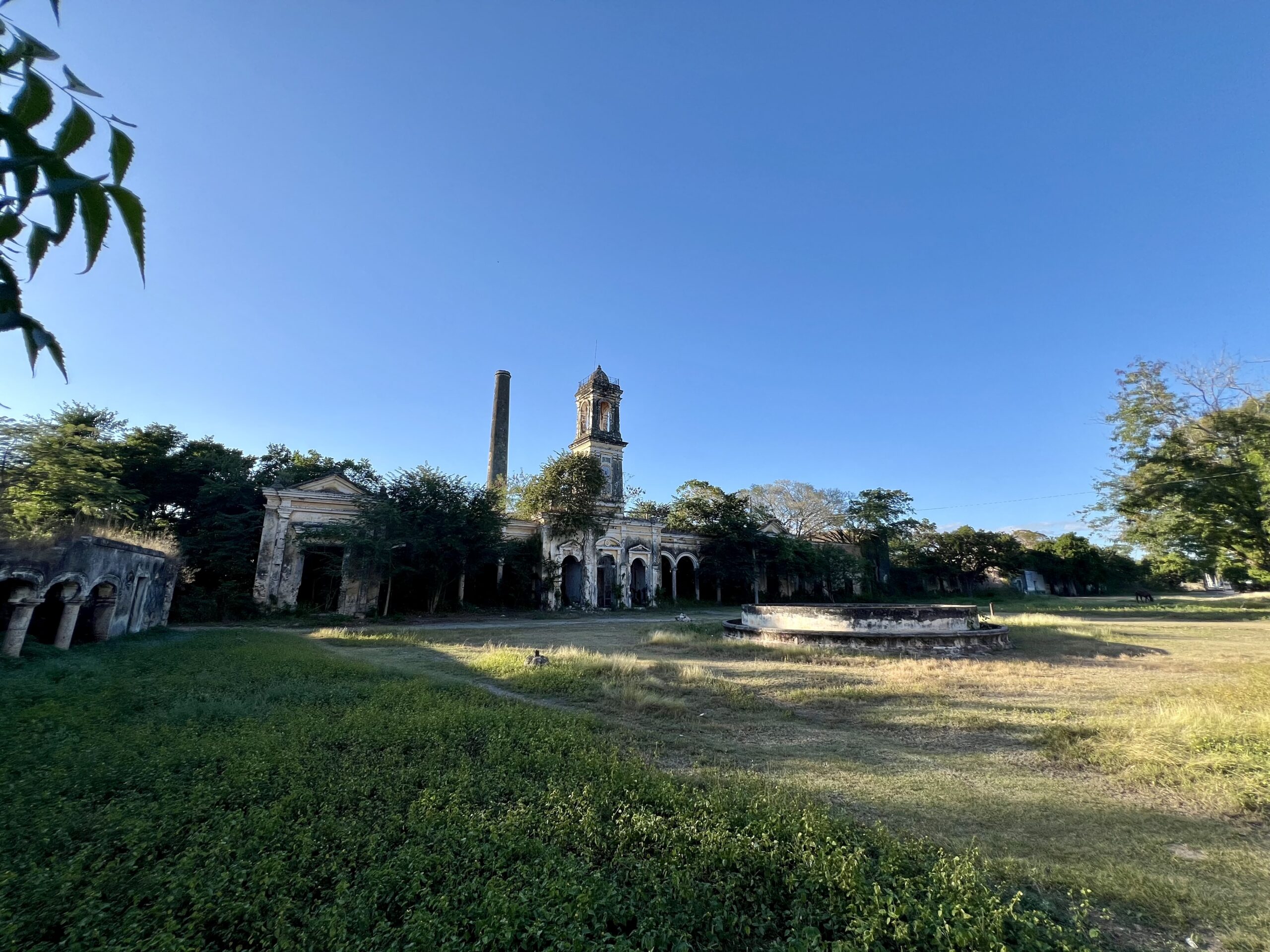
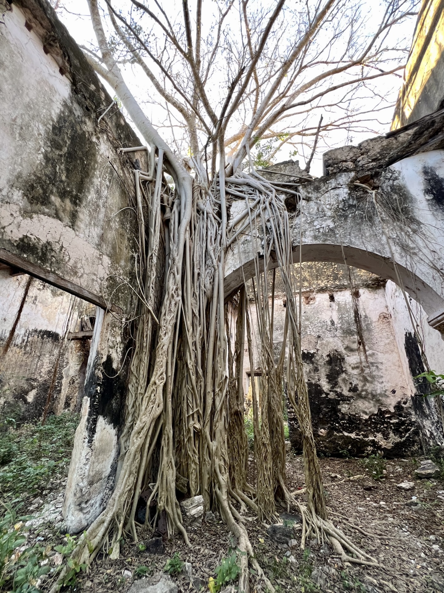
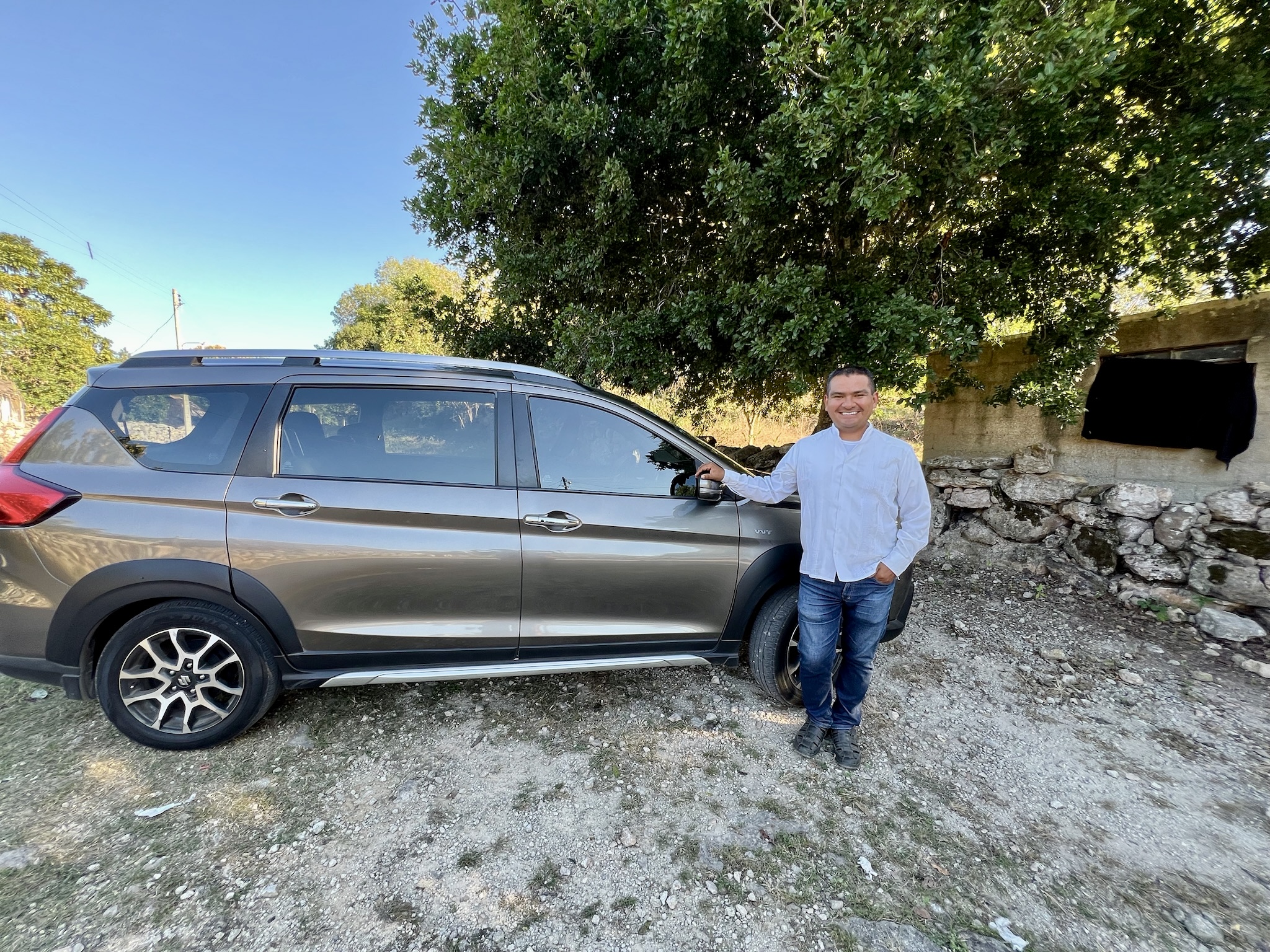
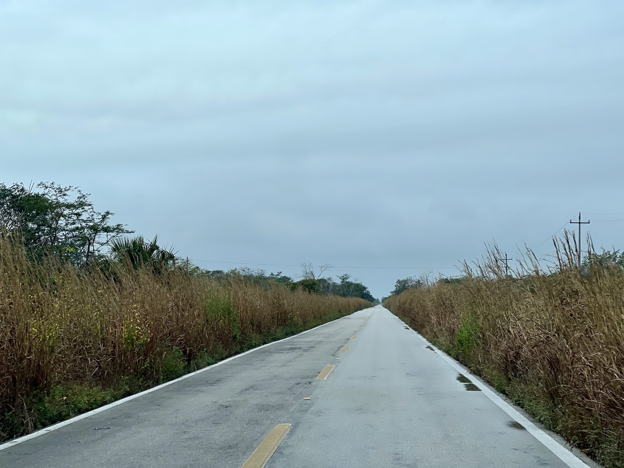
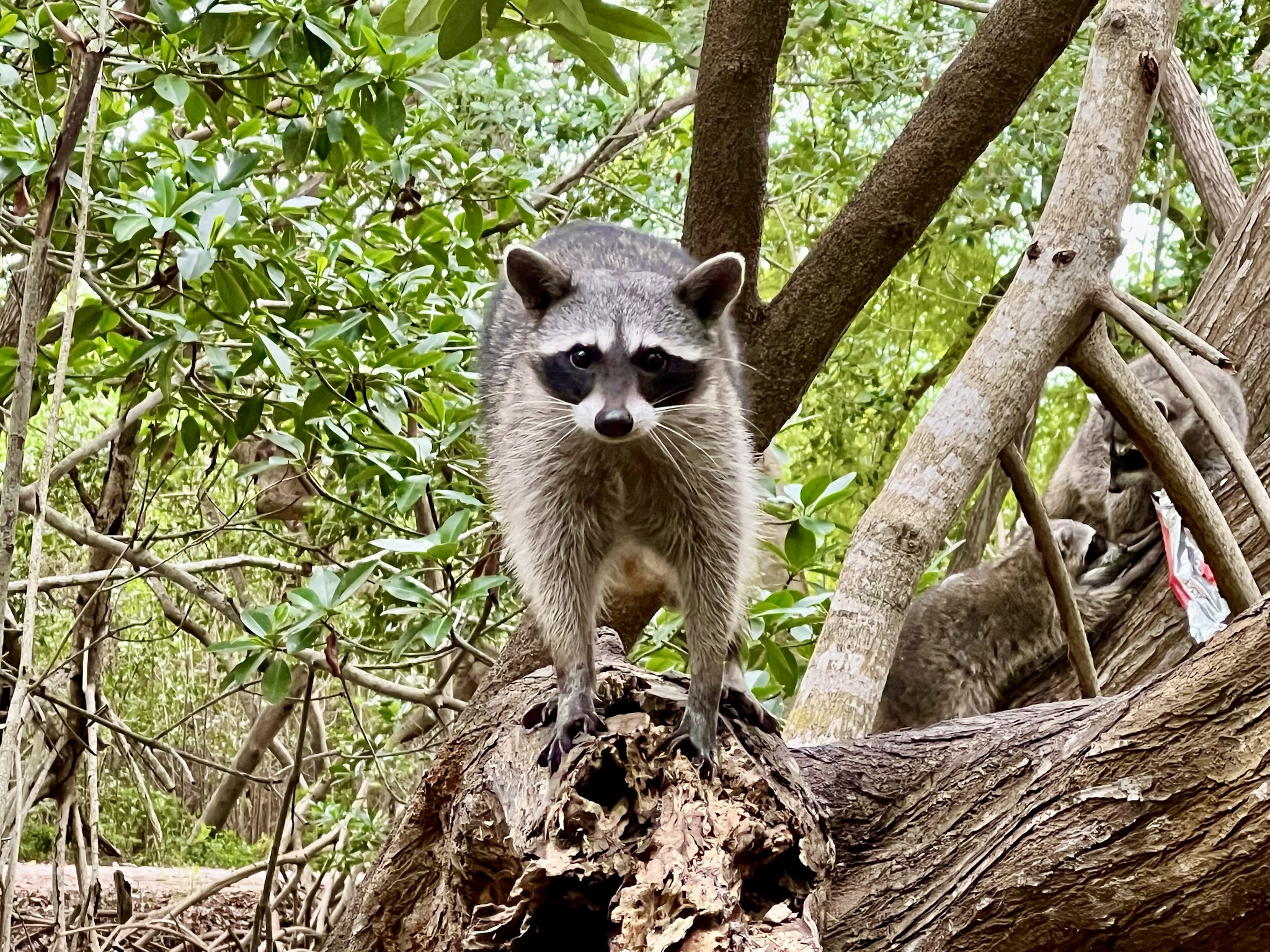
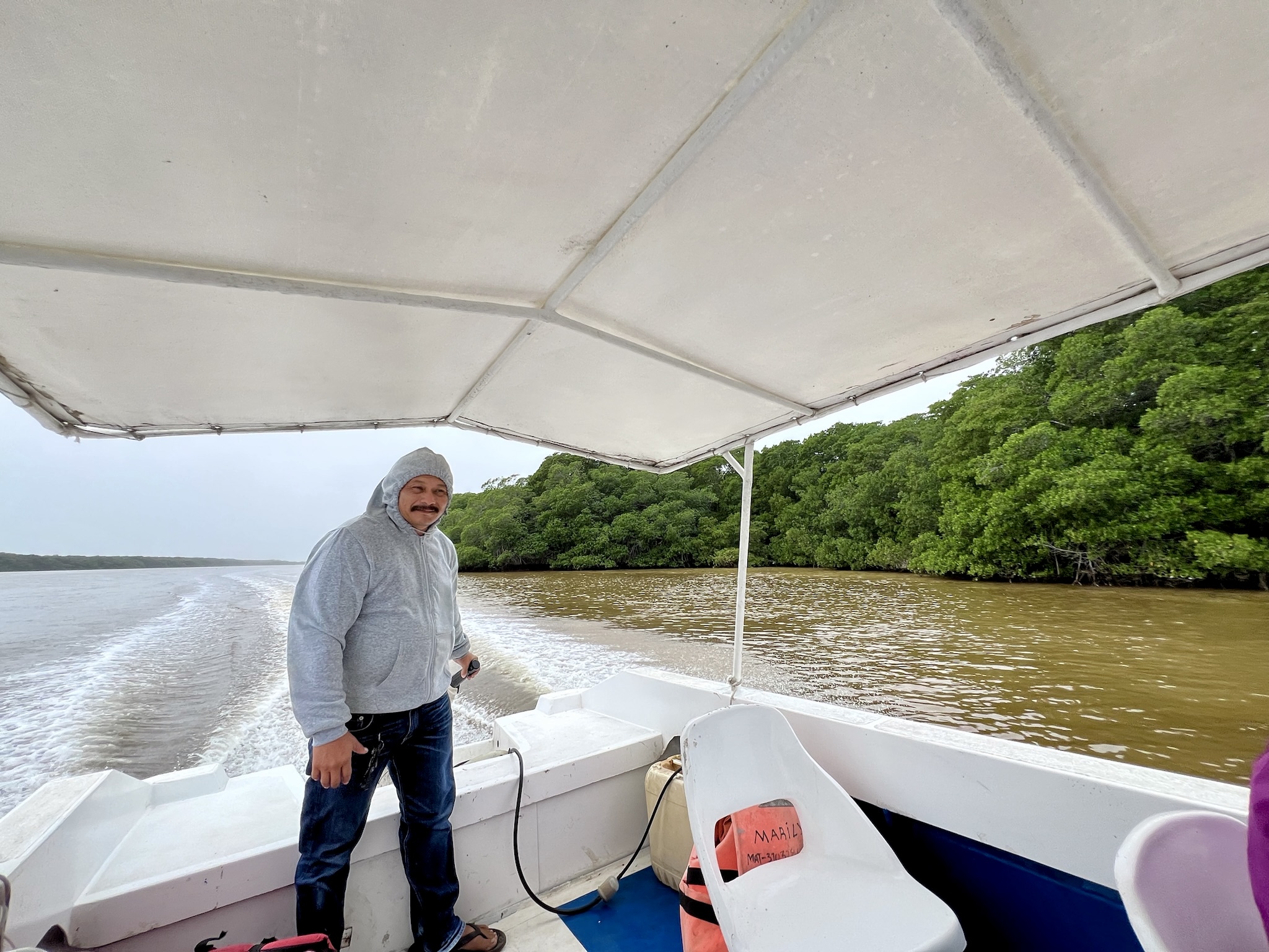
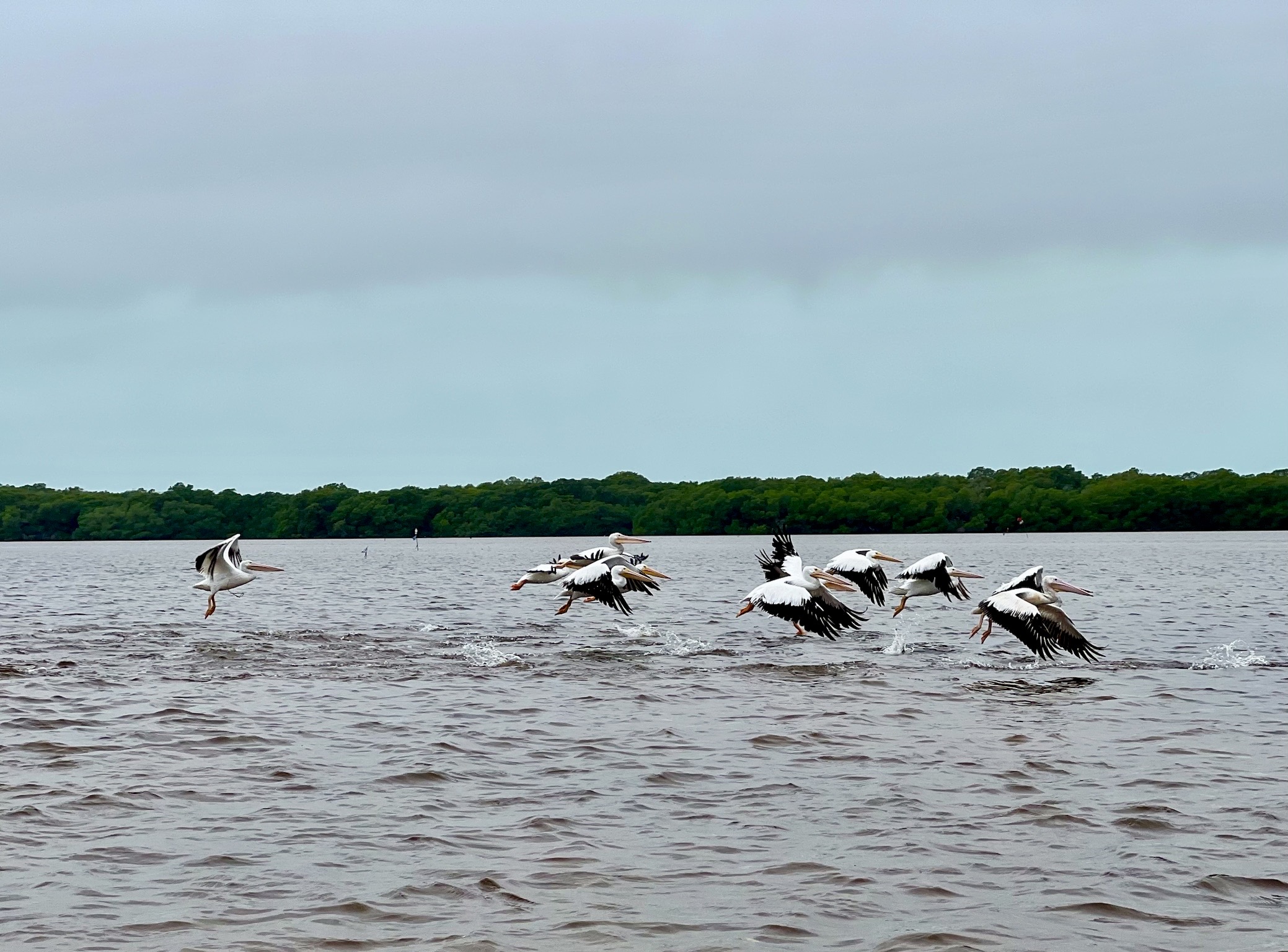
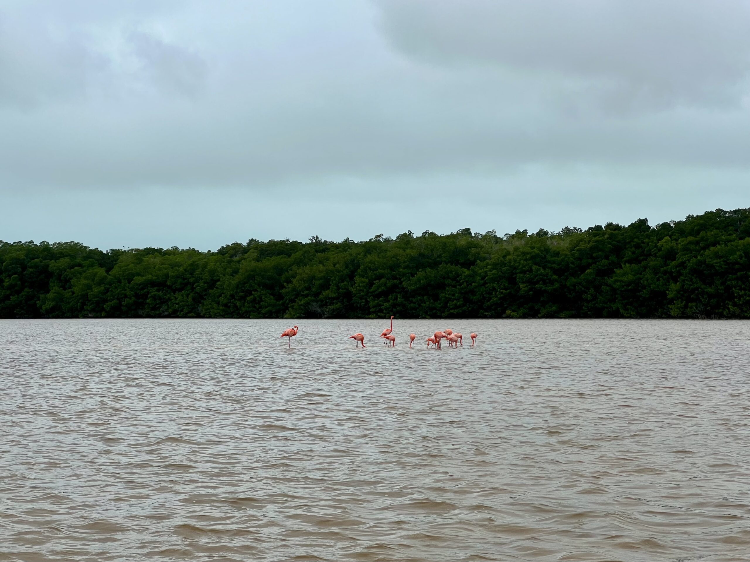
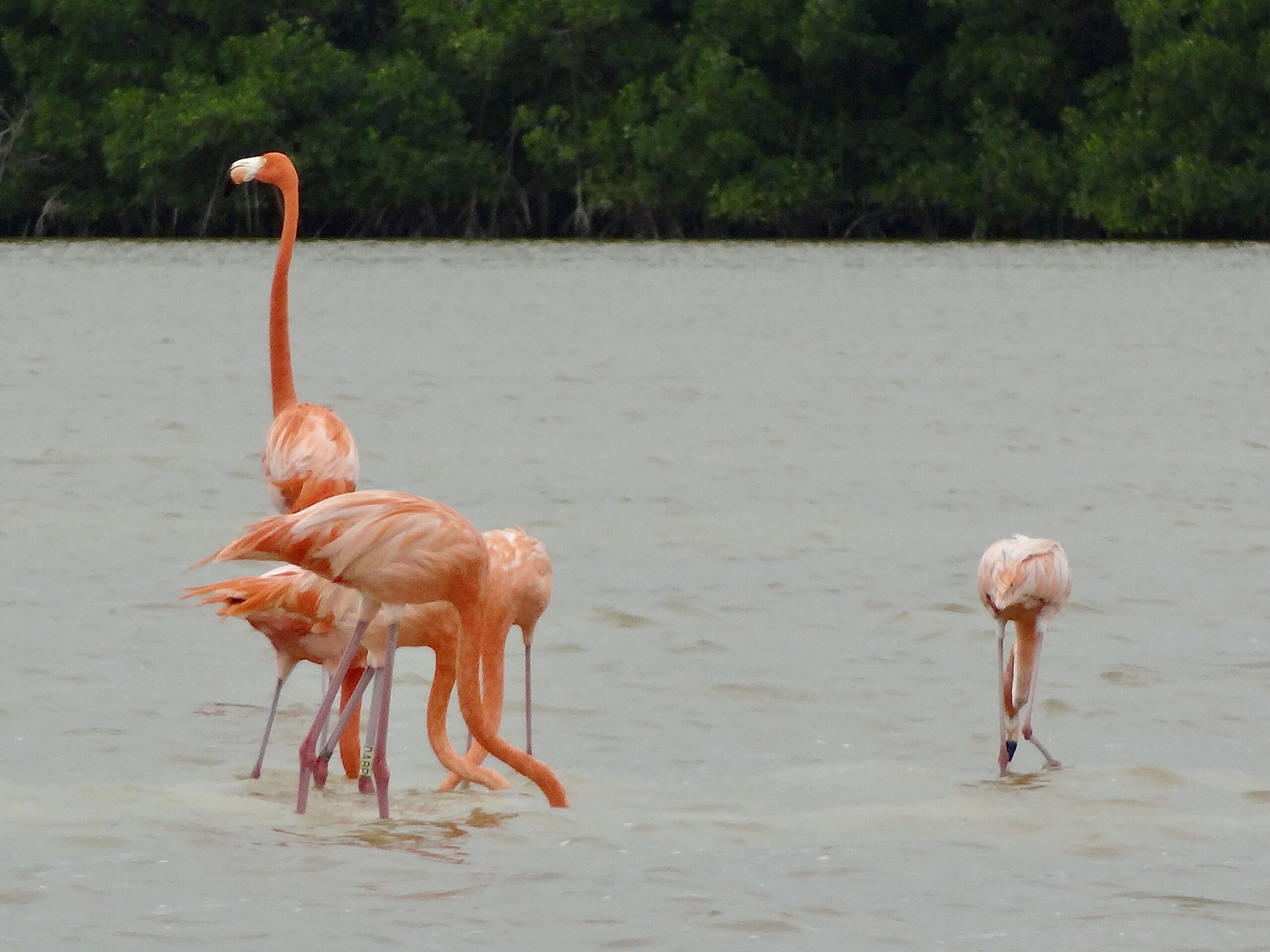
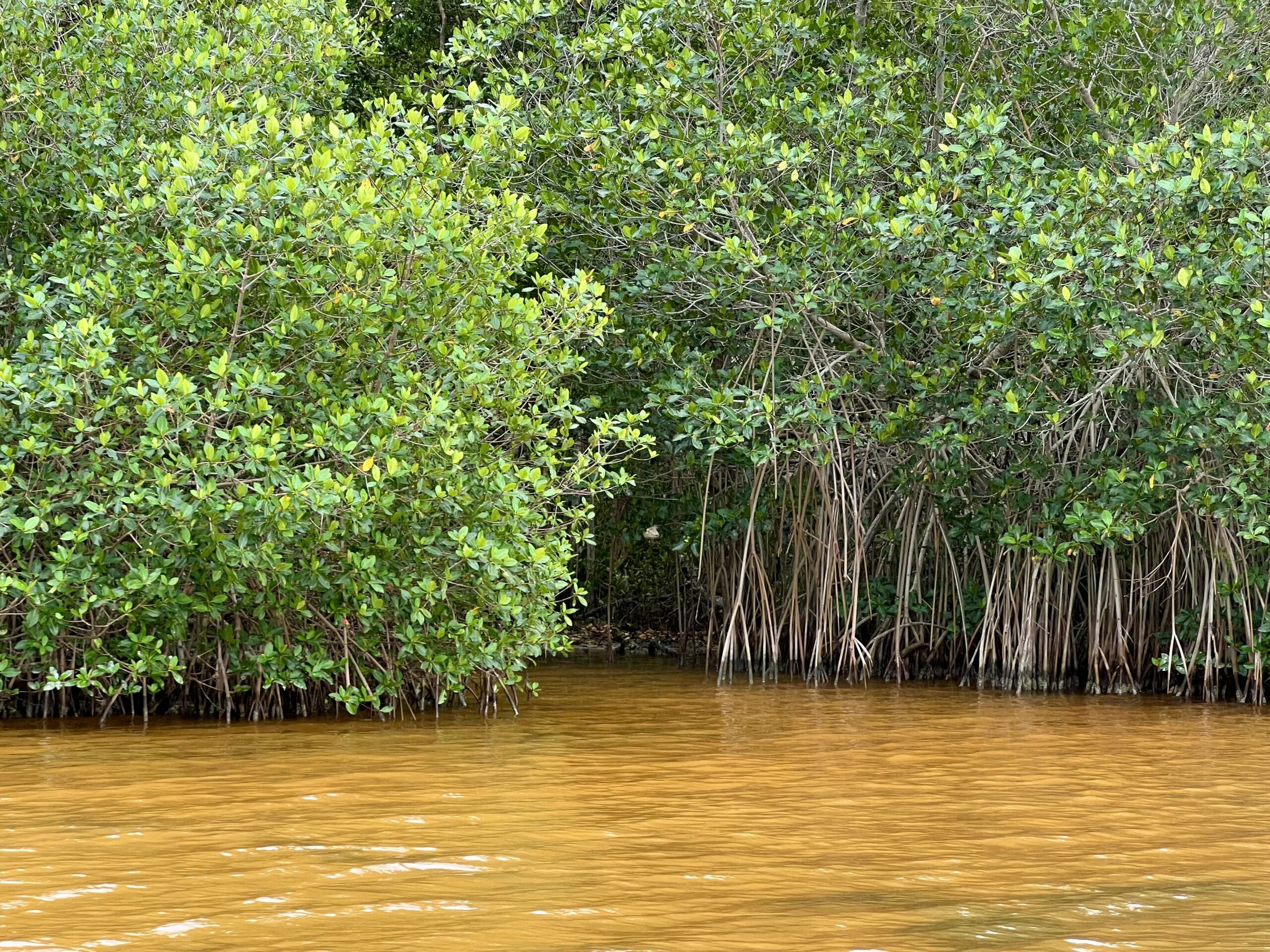
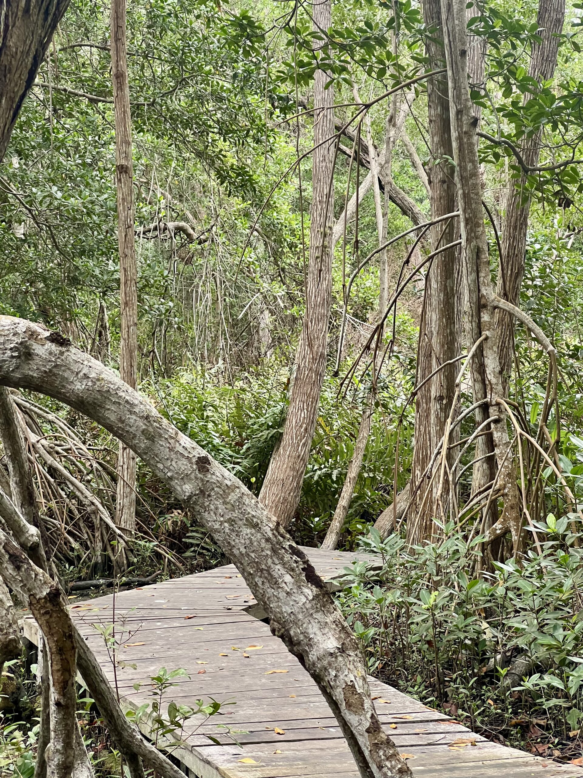
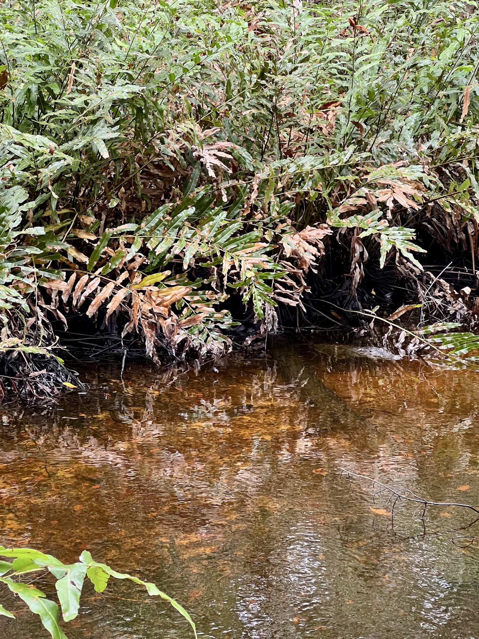
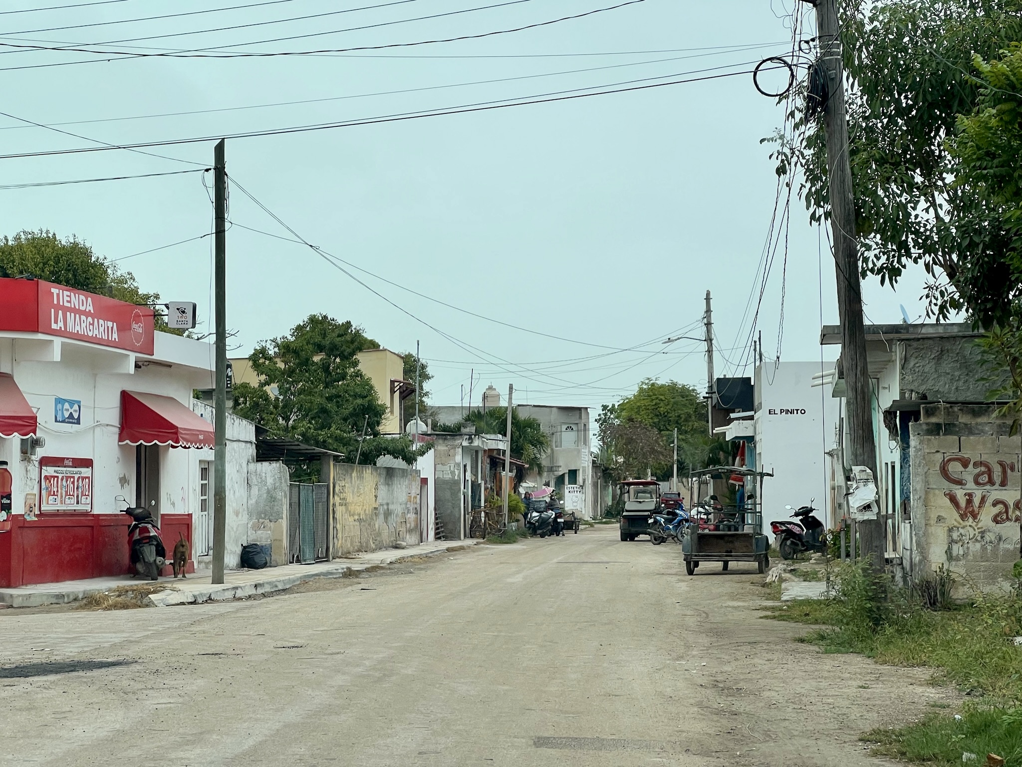
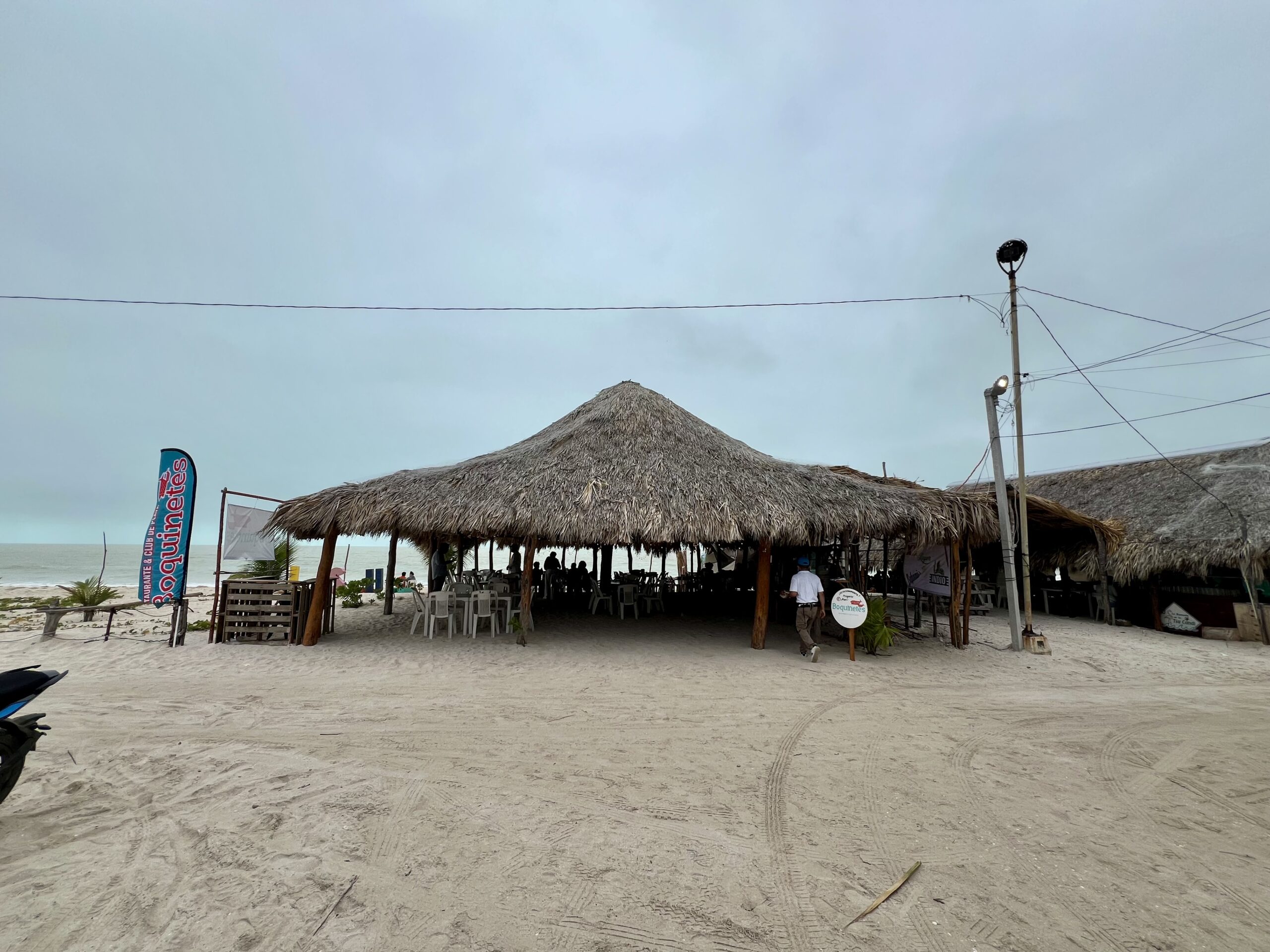
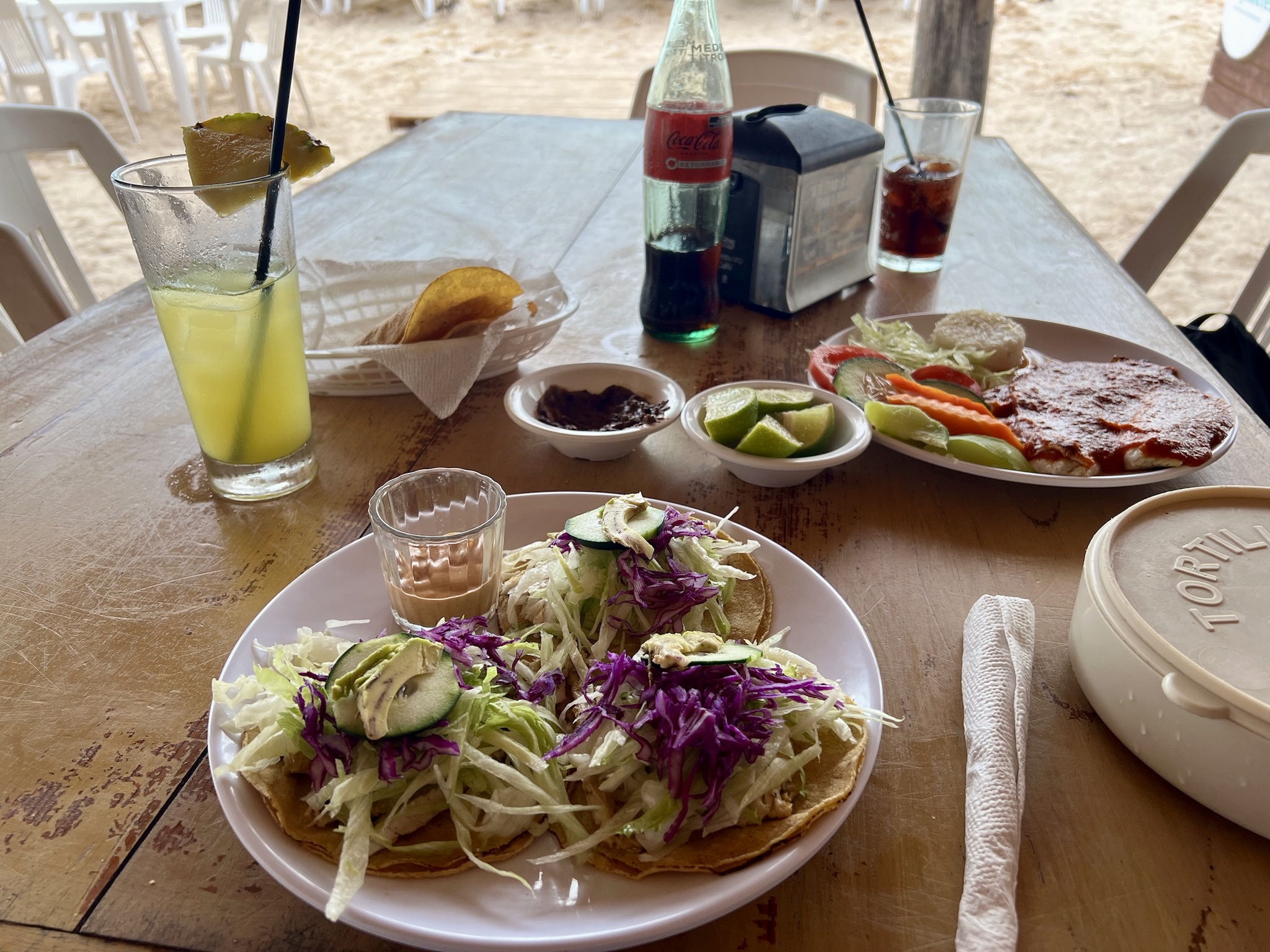
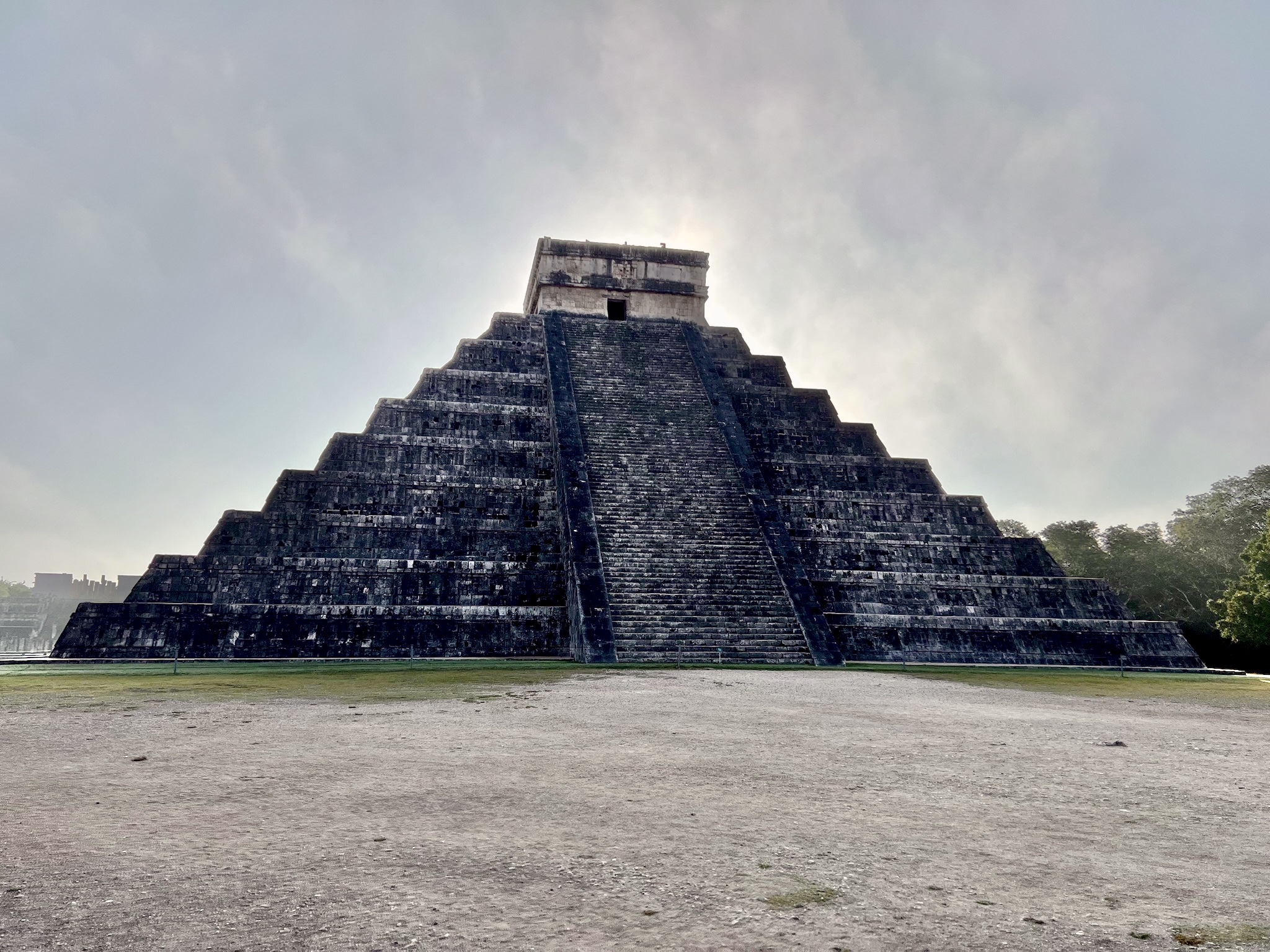
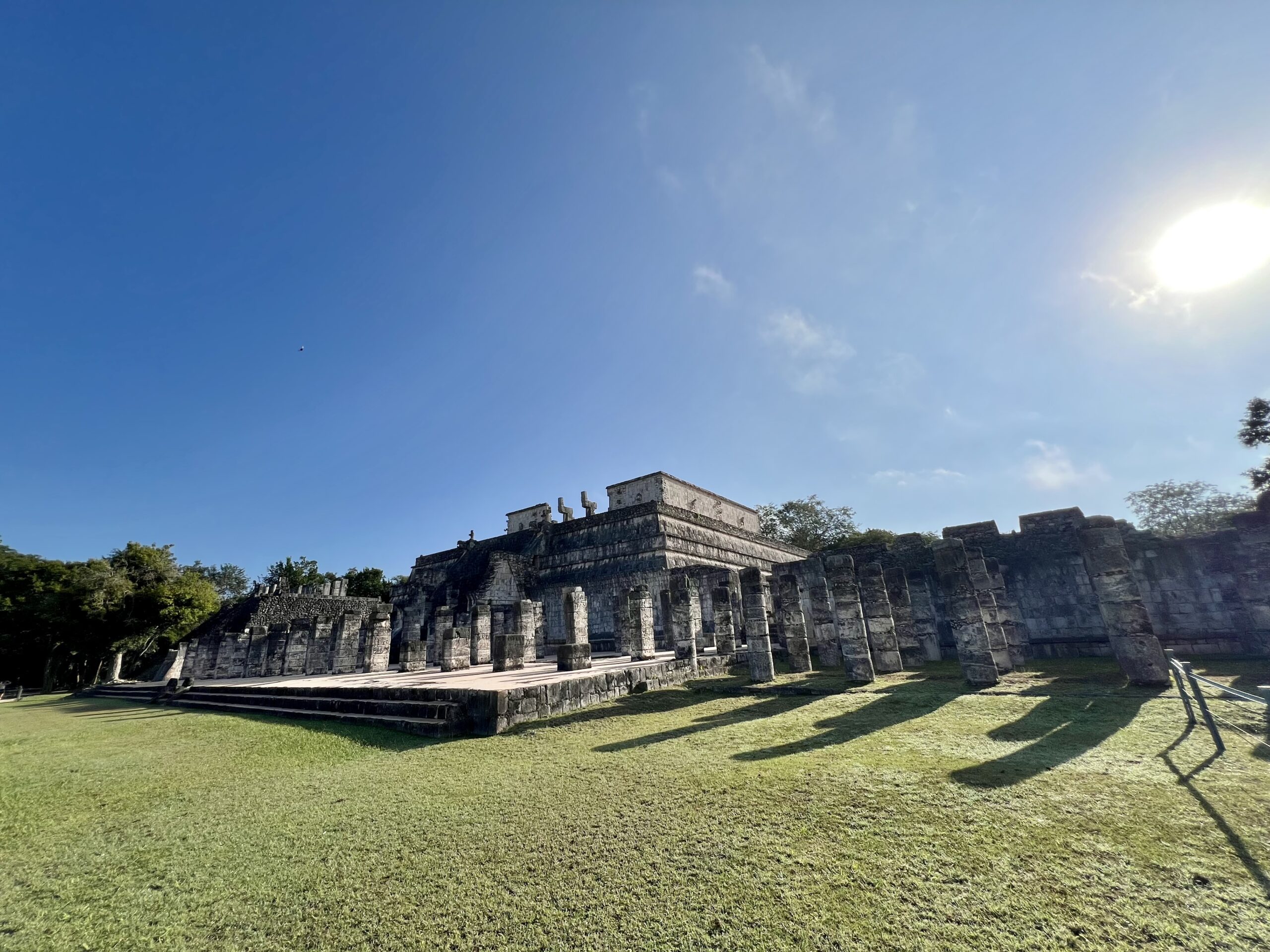
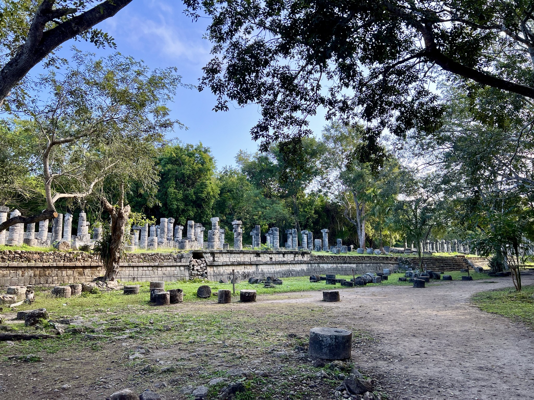
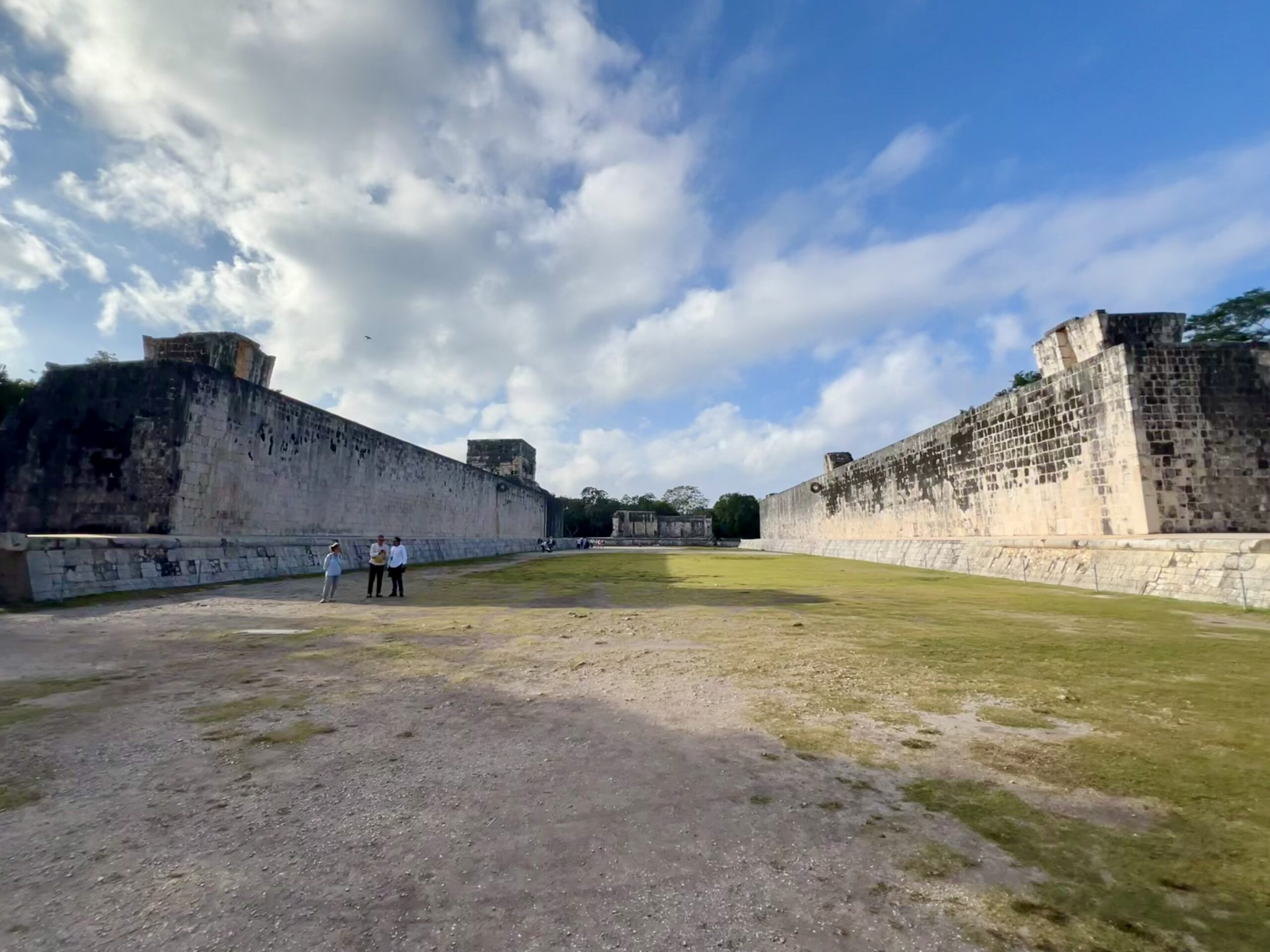
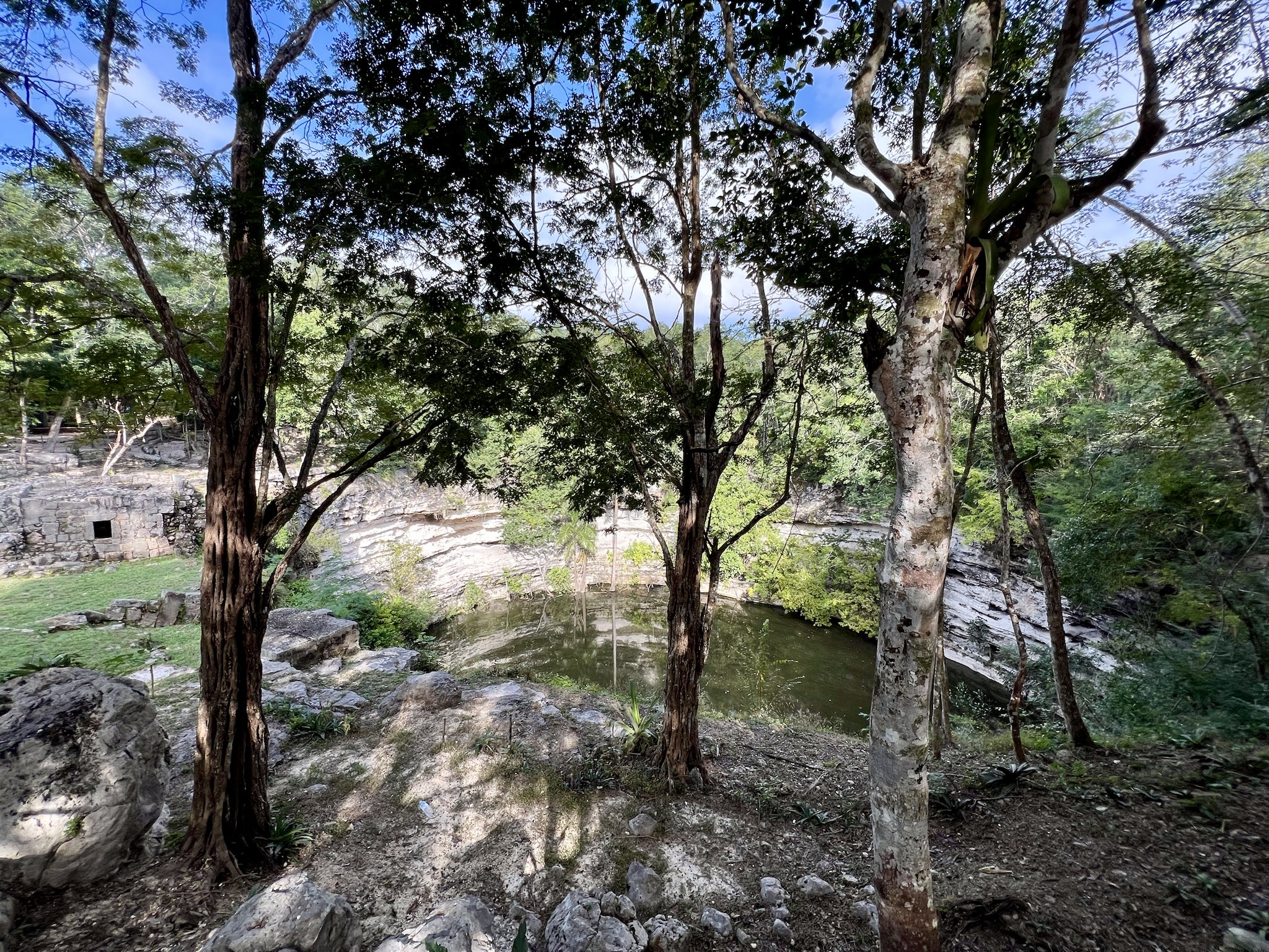
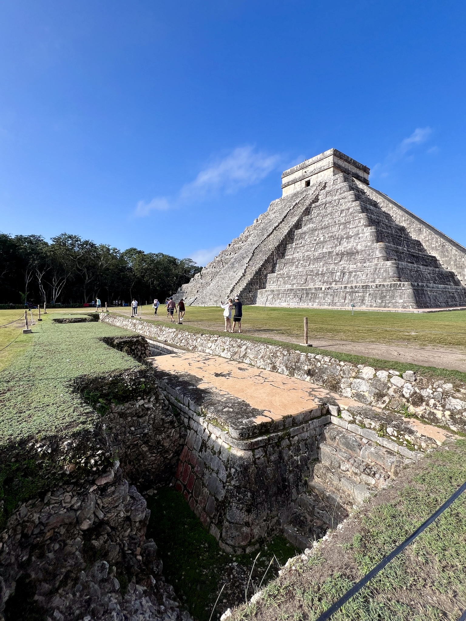
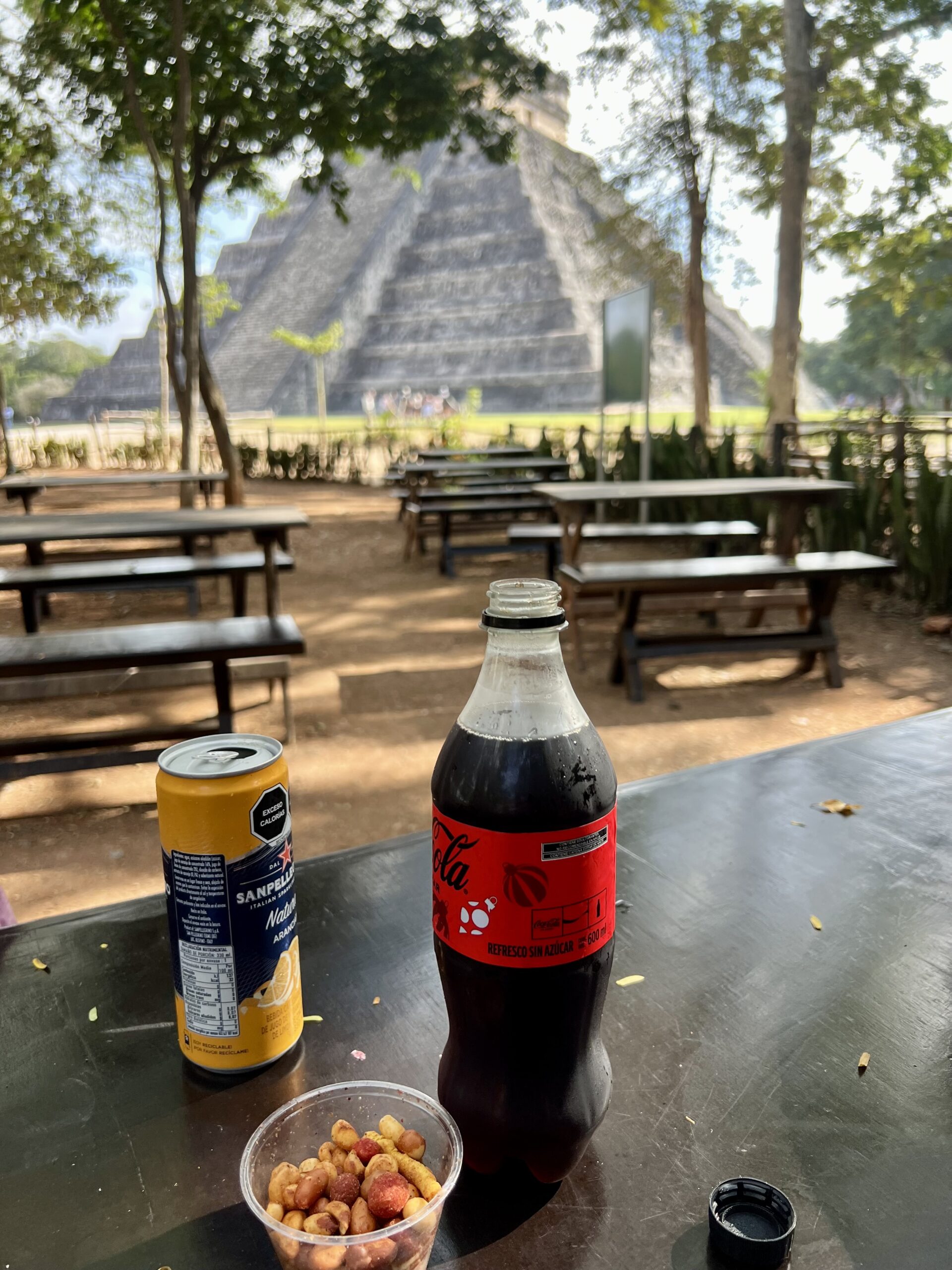
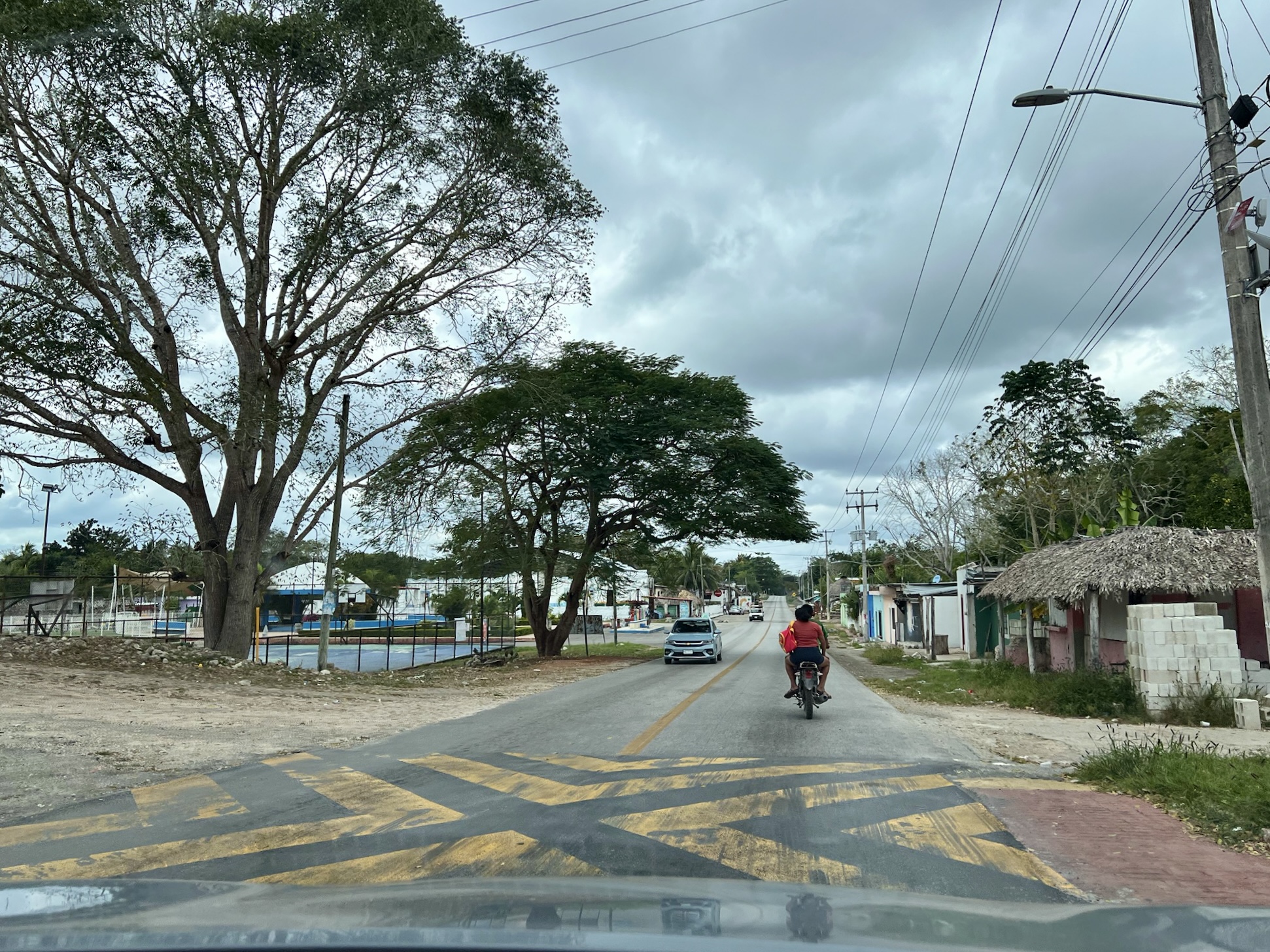
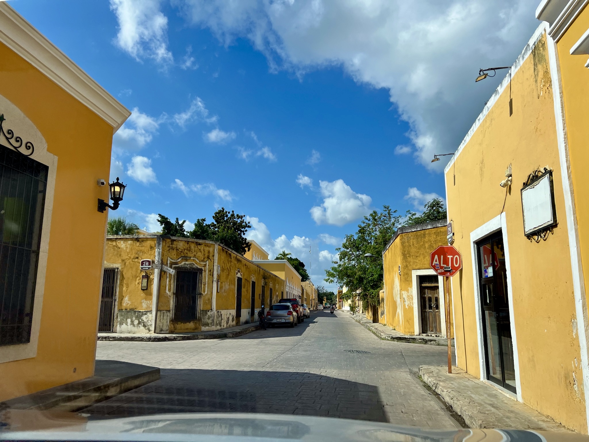
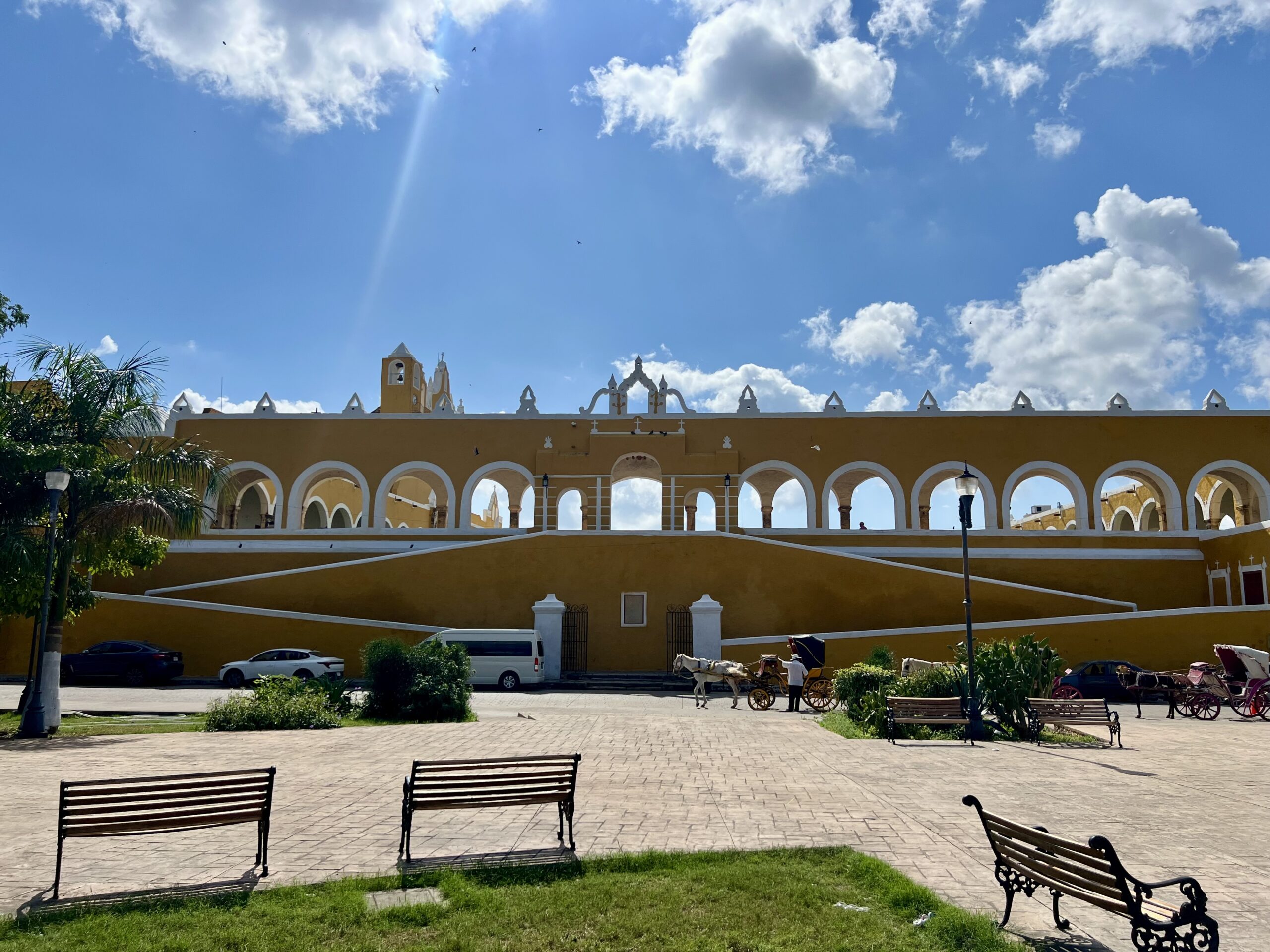
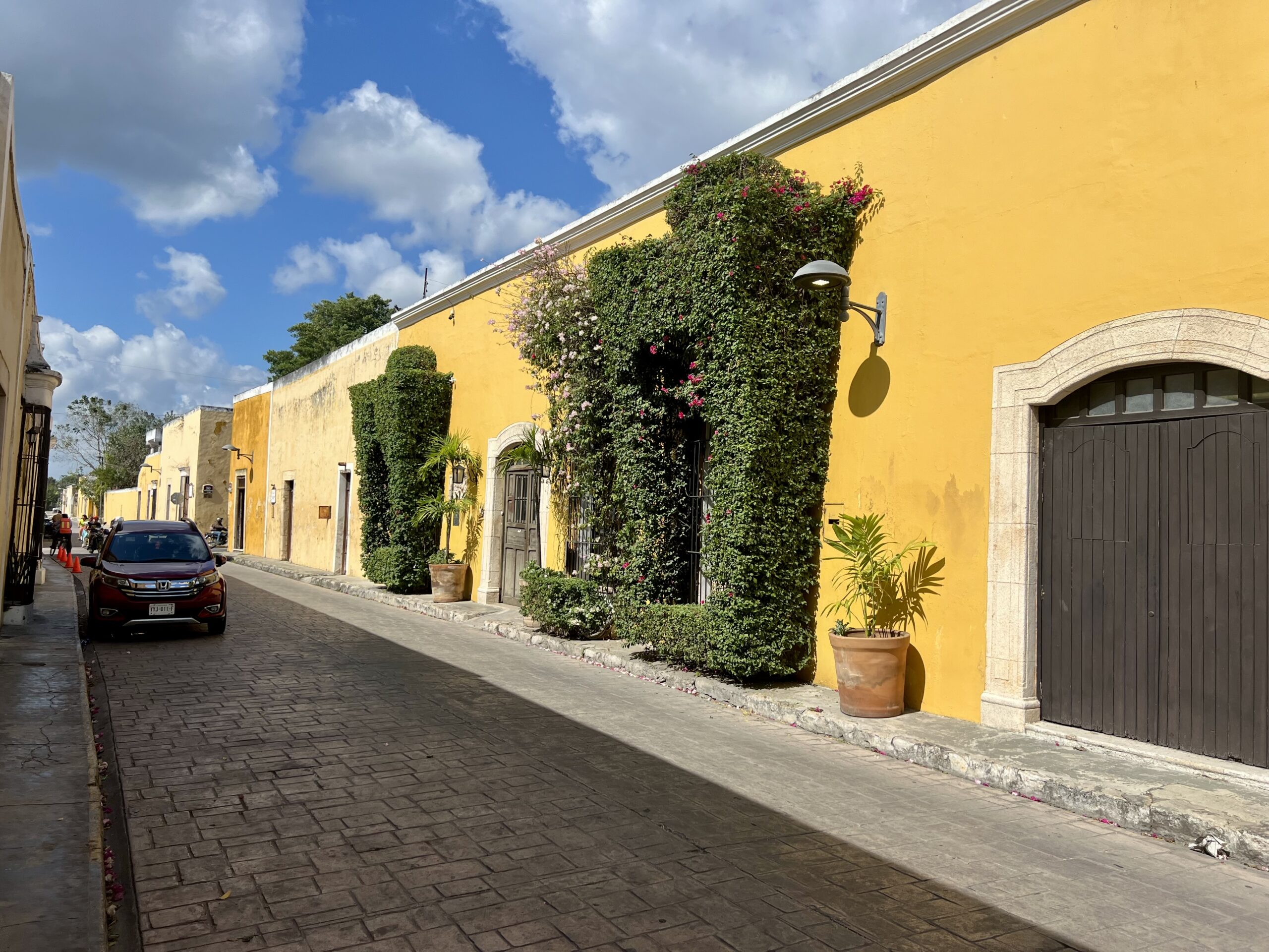
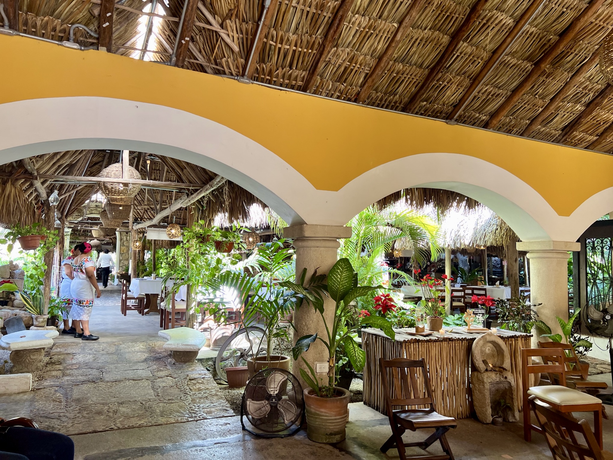
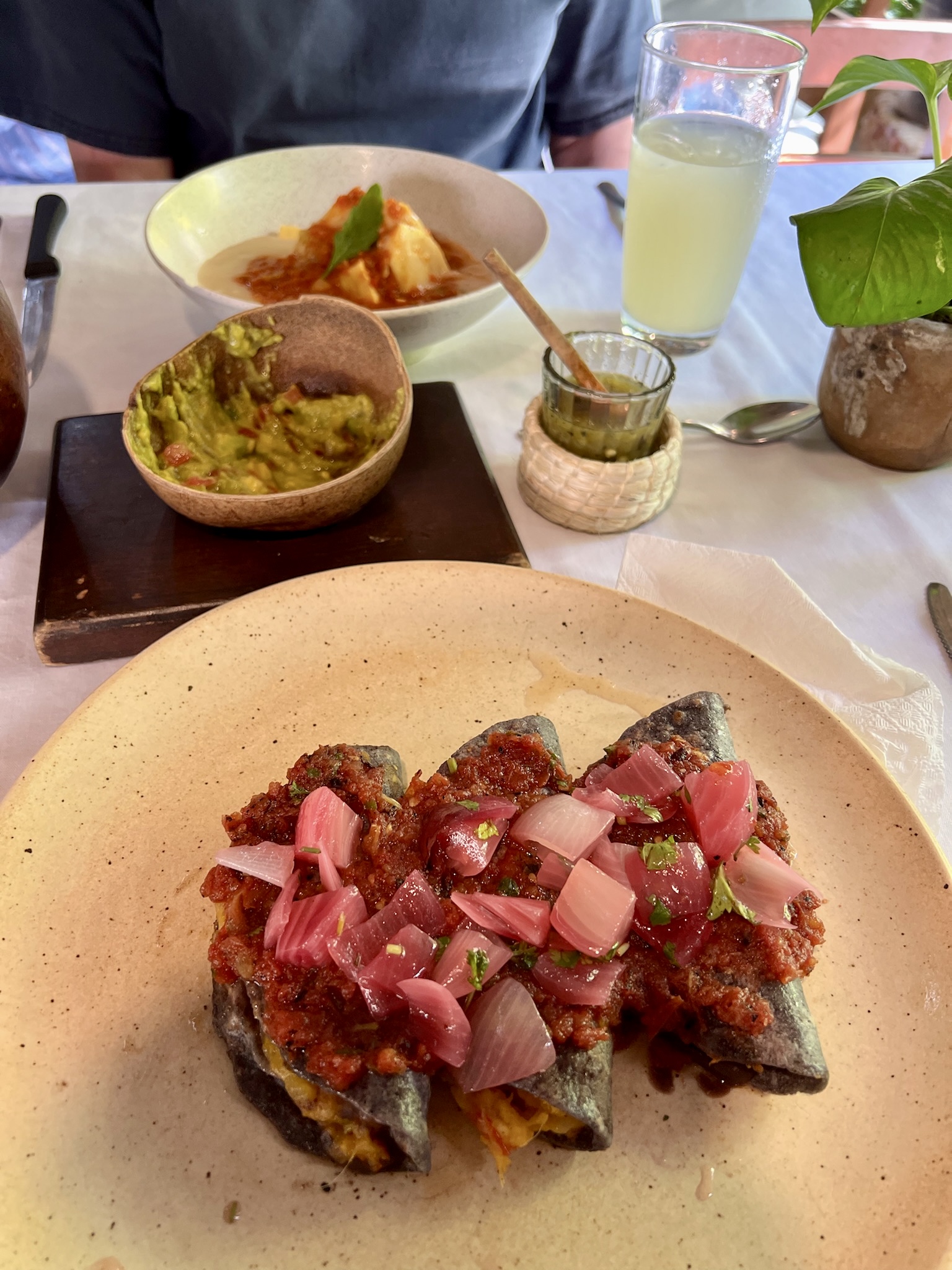
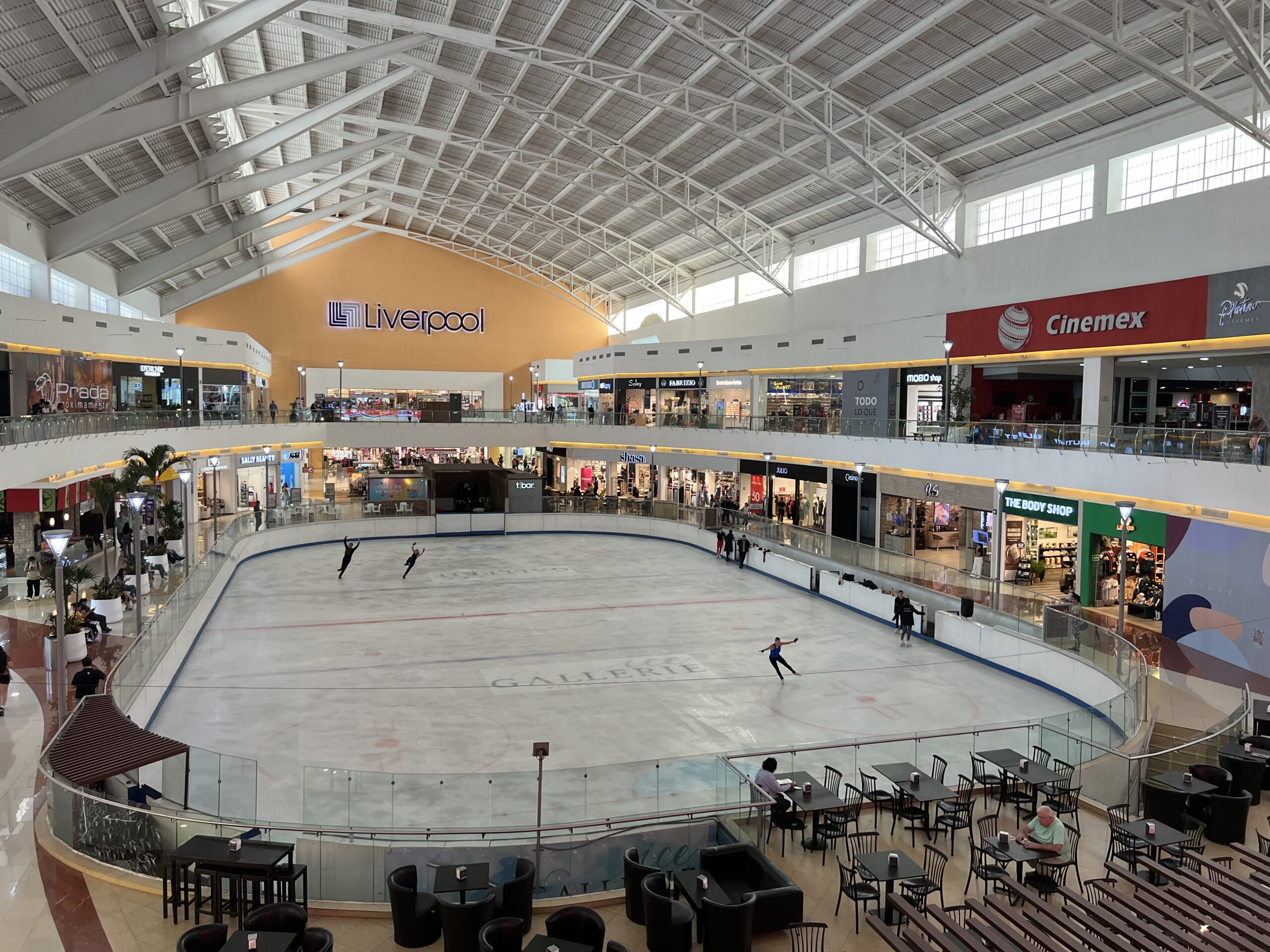
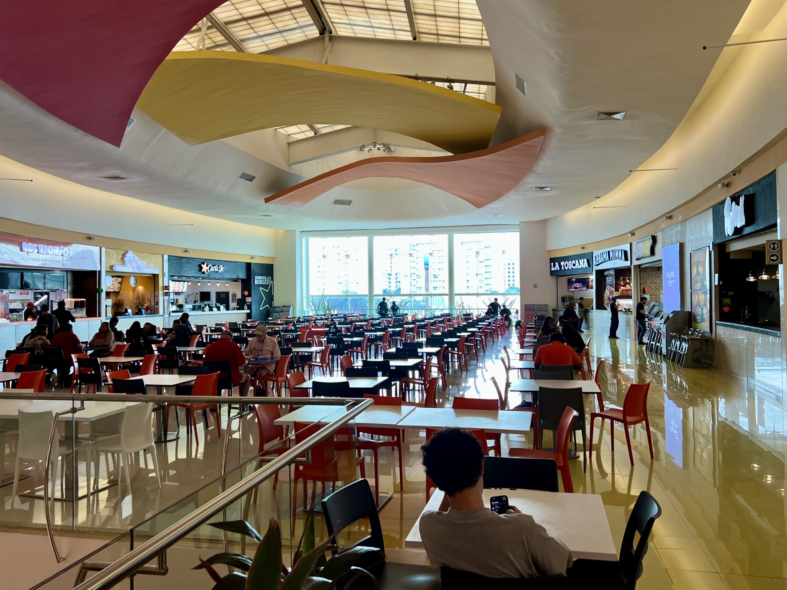
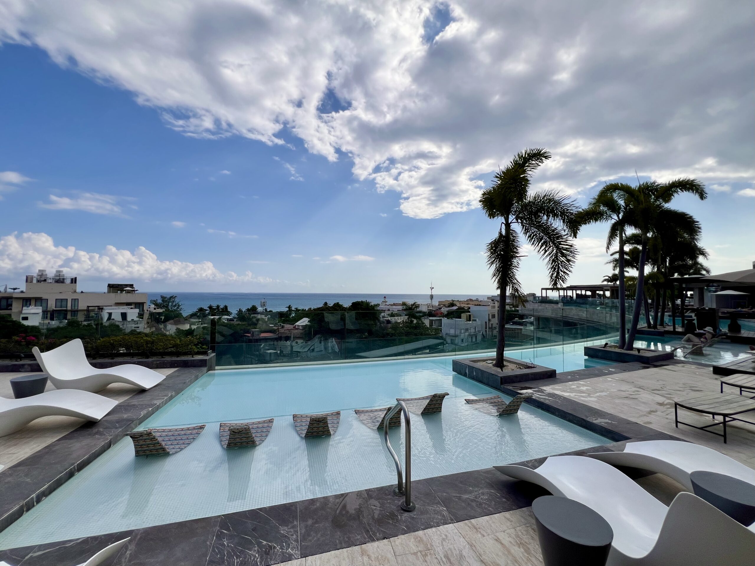
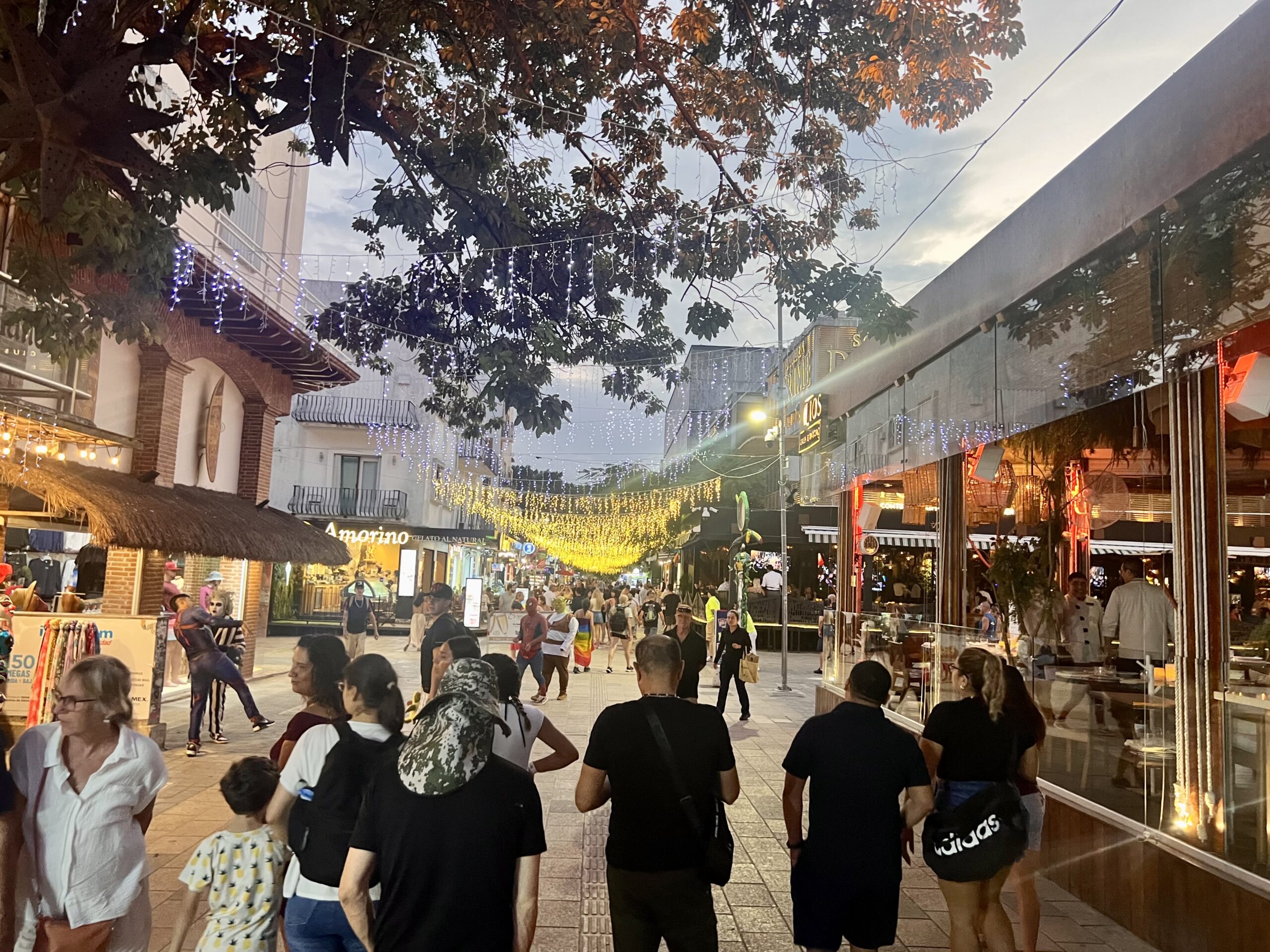
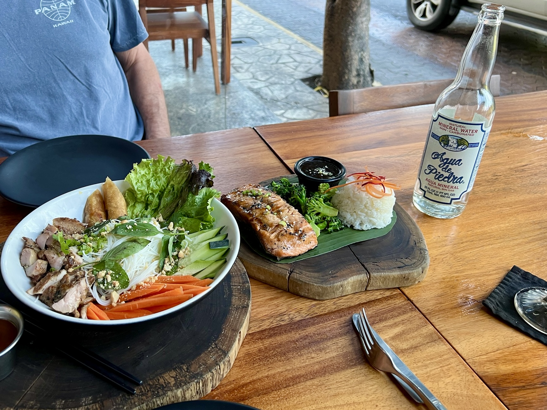
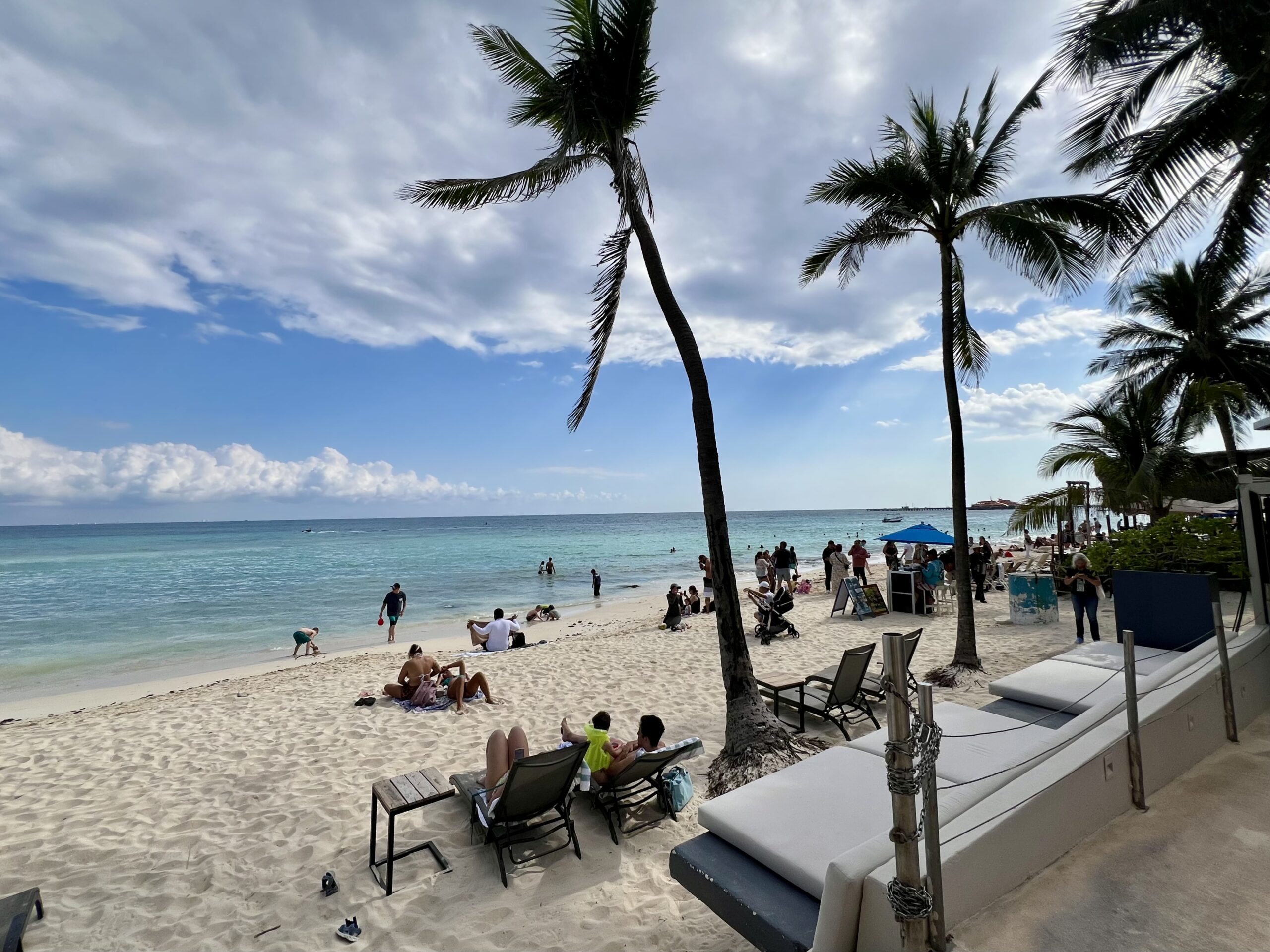
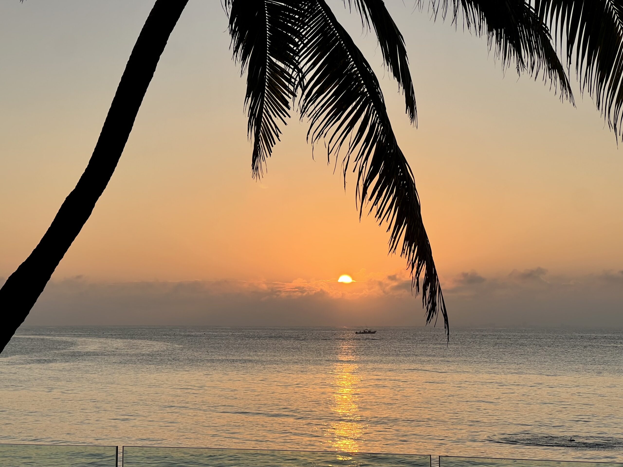
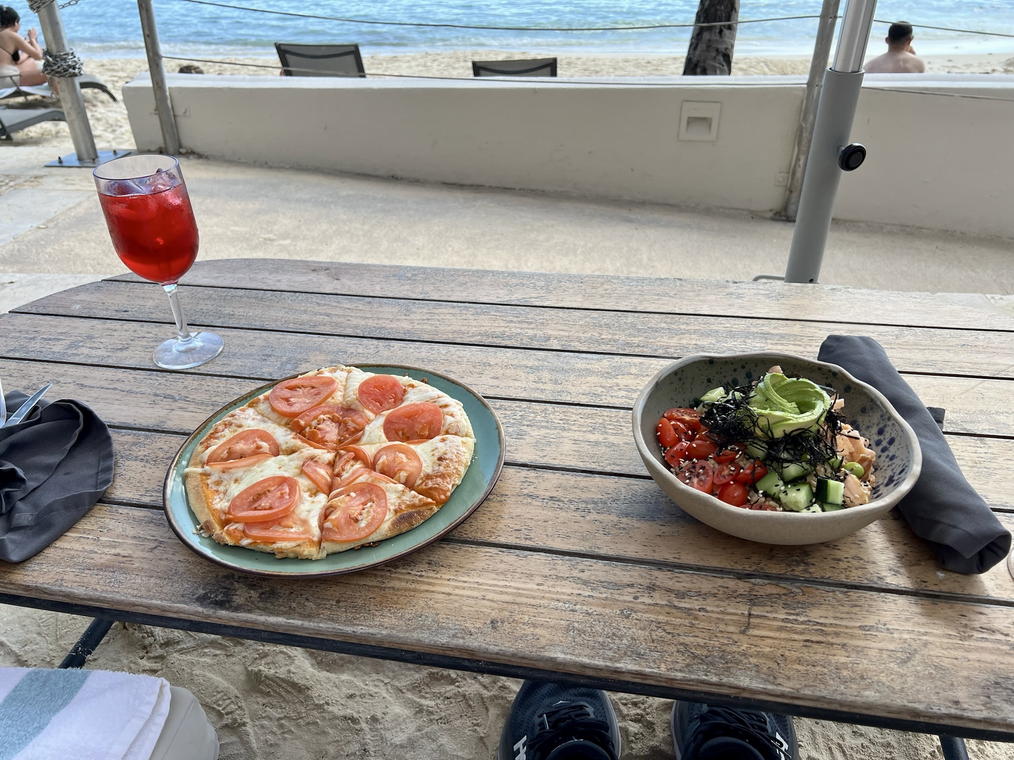
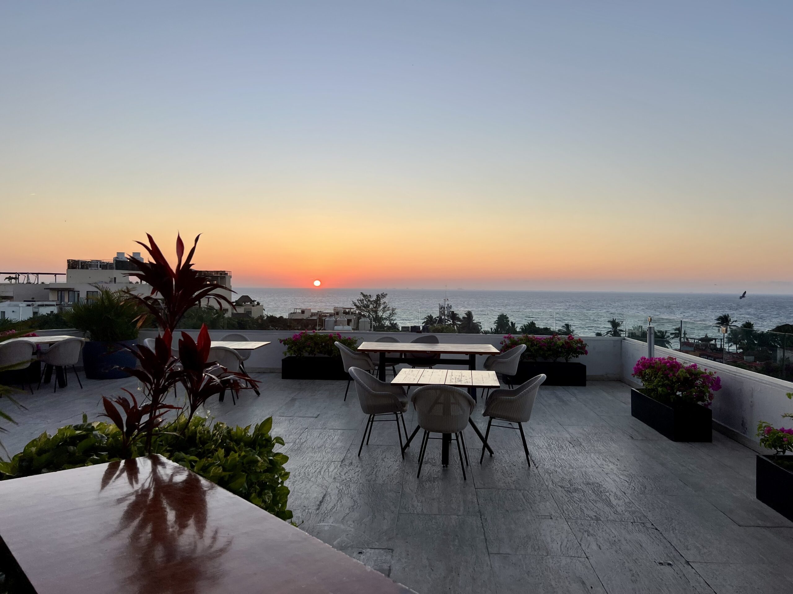
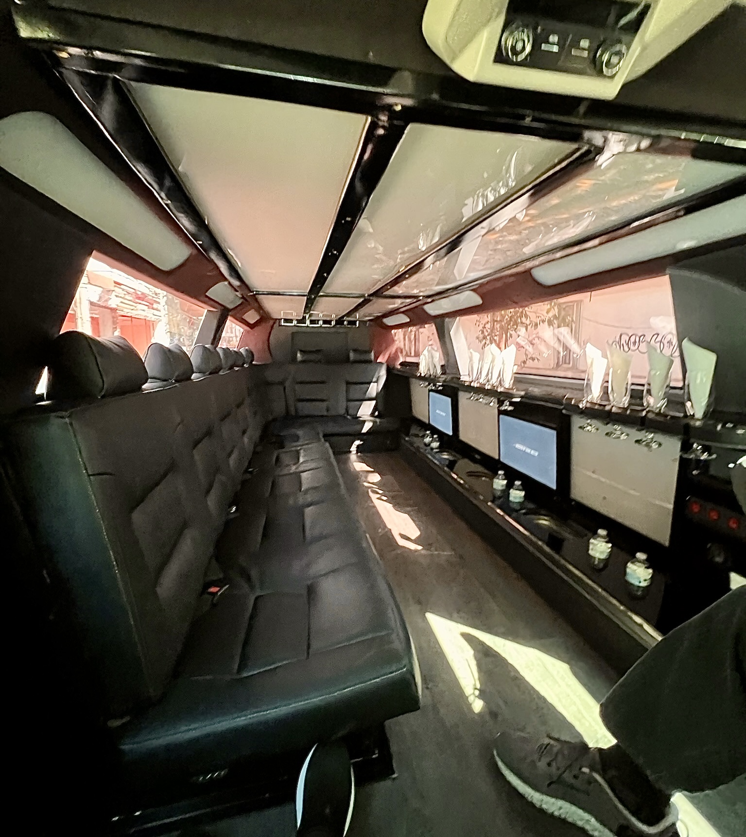
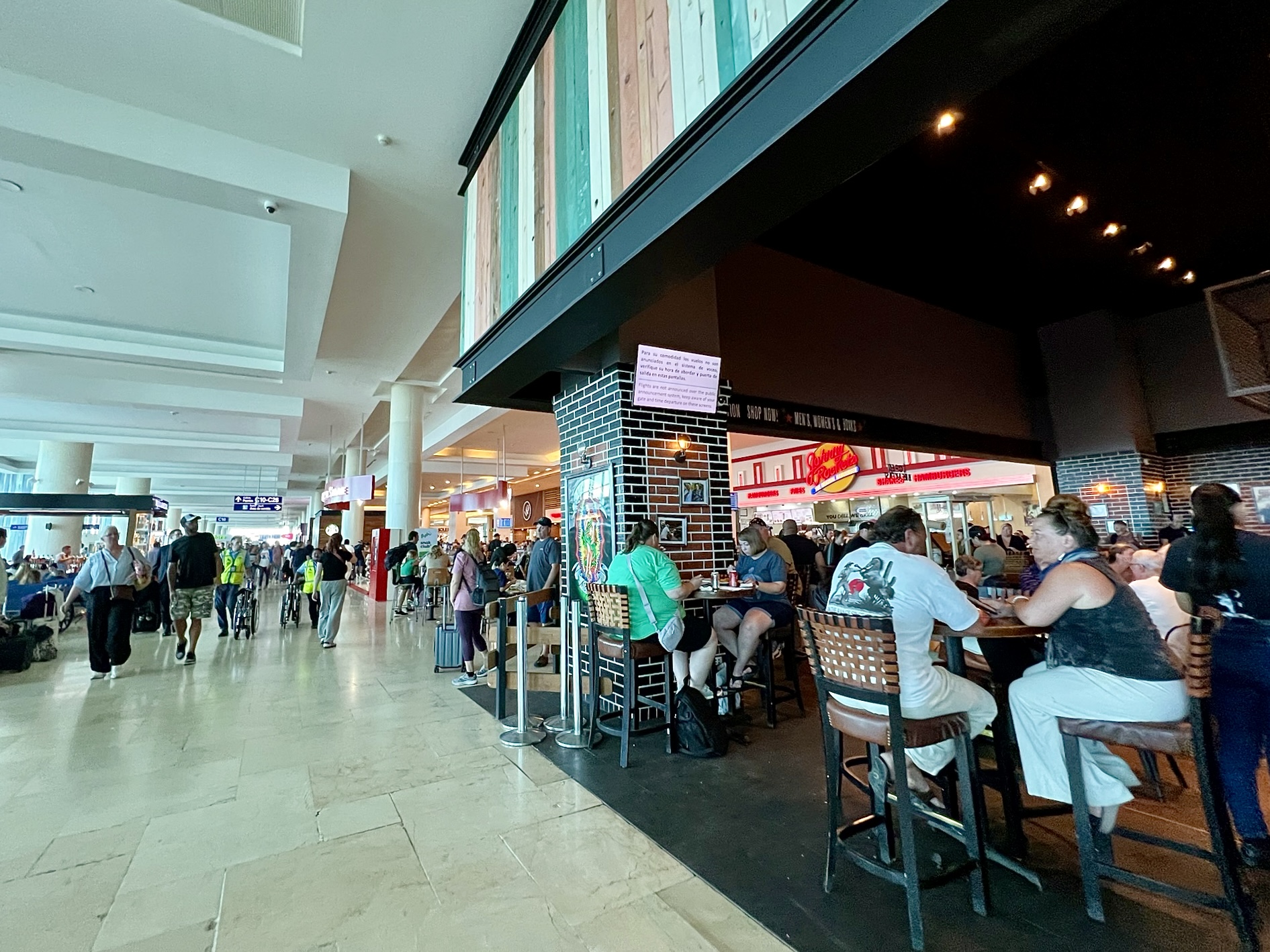
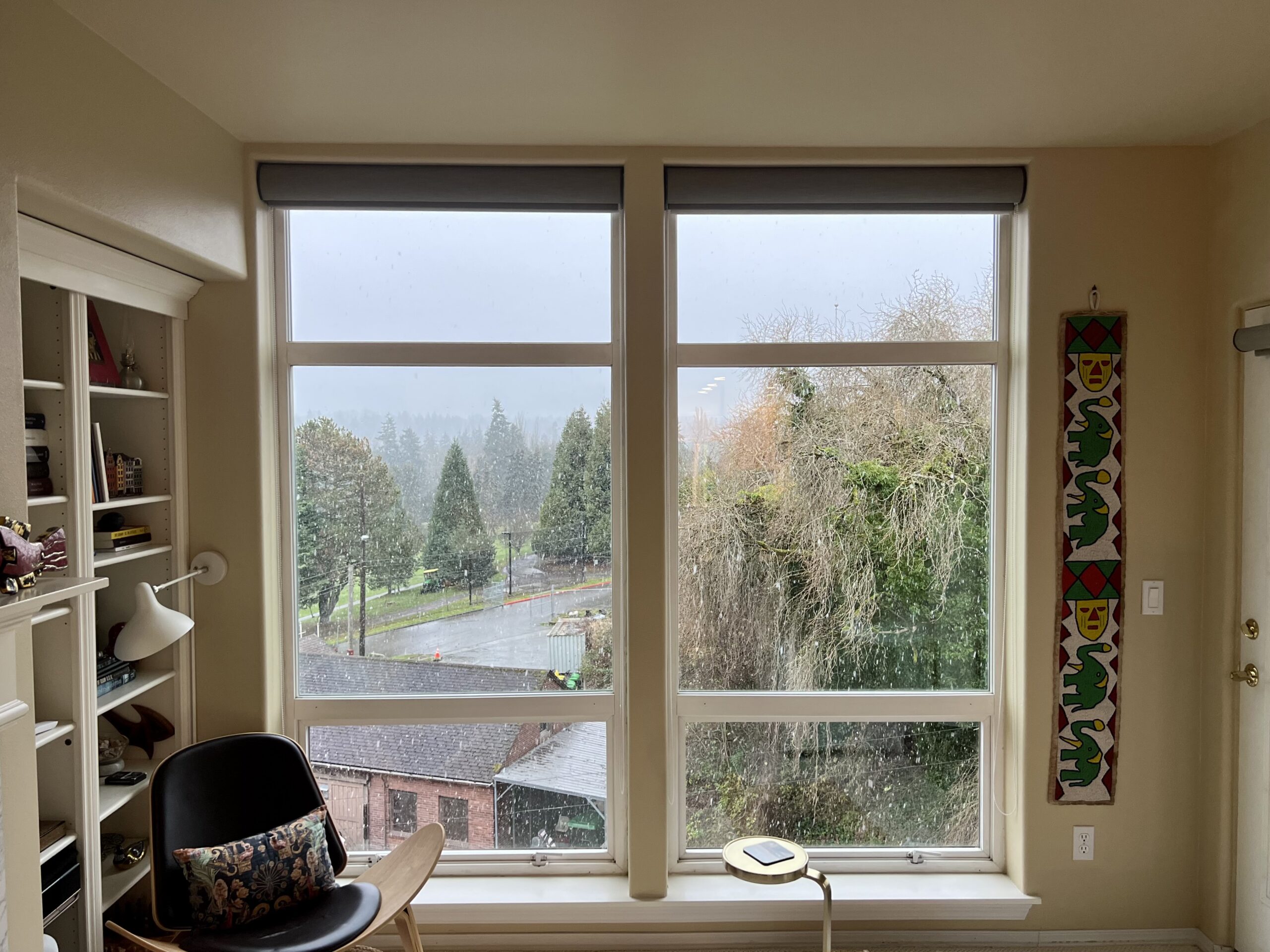
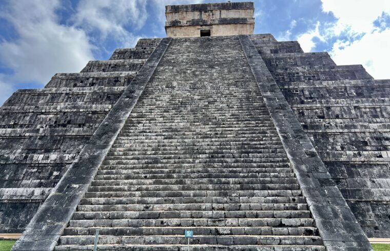
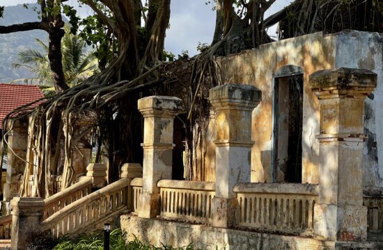
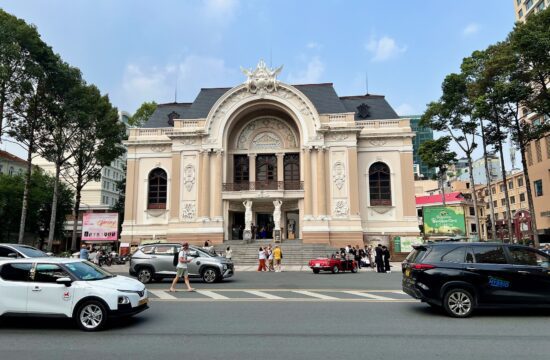
We left Seattle on a 7:15am direct flight to Cancun. That meant we were up much earlier than we like. Once off the ground, though, we got to see blue sky and sunbeams for the first time in several days.The photographer documented mountains as we waited for our meal. Mount Rainer looked spectacular. The mountains north of Boise just looked cold. Speaking of documenting, here is the photographer’s Delta Airlines frittata. Food on Delta’s domestic flights is relatively good. Relatively being the important word.About six hours later, we were on final approach over the beaches and resorts south of Cancun.After running the gauntlet of taxi hawkers, creatively disingenuous hucksters, and official signs warning the unwary to be wary, we found the “friends and family” pickup area. The Hilton Garden Inn was neither, but that’s where we were told to wait for their shuttle.The Hilton Garden Inn is a stone’s throw from Cancun International Airport, which is why we chose it. We wanted an overnight before we picked up our car and drove the 3½ hours to Mérida.Our dinner at the Hilton was a partial introduction to Yucatecan cuisine. We had guacamole and chips and fish tacos, which are broadly Mexican, plus Cochinita Pibil, which is a traditional Mayan dish of marinated pork served with purple onions in sour orange. The hotel’s version was so-so. The next morning, Alamo picked us up in a shuttle for the drive around the block to their car rental center. We stood around for the 40 minutes it took them to detail the car. Here it’s being hand dried. By the time we finally got it, it had been cleaned to within an inch of its life. With only one wash bay, we have no idea how they manage to get enough cars out the door on a given day to stay in business.Finally on the road, it’s pretty much a straight line from Cancun to Mérida – as it is between any two points on the Yucatán Peninsula. The peninsula is a flat, 75,000 square mile, limestone plateau. Each mile is the same as the one before. A bend in the road is the most excitement you can hope for.We took federal highway 180D. The “D” stands for Directo, which means it’s a toll road. The two tolls between Cancun and Mérida amounted to about USD$25. At that price, the highway is lightly used. And there are no stops for the 150+ miles. Toilets are at the toll plazas. Full tanks of gas need to be arranged for in advance.Once off the highway and in Merida city, it is a warren of one-lane, one-way streets. Calle 61, shown here with its Arco de Dragones, named for the adjacent Dragon Barracks, a former hospital, is as close to an arterial as you get. Four-lane avenues are rare, and extremely congested when you do find one. Fortunately, nearly every street is numbered instead of named. This helps immensely, because it means the driver doesn’t have to try to match the navigation lady’s Spanish pronunciation to street signs.We stayed at the Hyatt Regency Mérida for eight days. Mérida is not a city of high rises, making the Hyatt one of the tallest buildings in its neighborhood. The hotel is far from new, but it’s well maintained and clean.Our room was on the top floor with a nice view north, away from the city’s center.On our first day, we headed down the Paseo de Montejo, the grand boulevard of the city, named for the conquistador who founded the city in 1542. Oddly enough, Mérida was built on the living Mayan city of T’ho, which by all accounts had already been around for 1,000 years. Apparently “founding” is conquistadorian for renaming.Paseo de Montejo, and the surrounding area, is littered with the mansions of wealthy 19th century sisal barons. One in particular, more palace than mansion, is now the Regional Museum of Anthropology. Built both later and larger than its neighbors, it was home to Francisco Cantón Rosado, a general in the Caste War against the Mayan rebellion, and railroad entrepreneur, and hacienda (sisal plantation) owner, and one-time governor of Yucatán.The museum is small-ish but well laid out, with many informative displays.The face on one of the 1,500-year-old clay representations is remarkably similar to some traditional Korean shamanic masks we’ve seen. And then there was Mayan Angry Bird.As we continued our walk to the central plaza, we passed the Autonomous University of Yucatán, a hundred year old university with colleges of law, medicine, and engineering.We ducked into the Church of Santa Lucia, begun in the late 1500s. It’s a boxy terracotta red building on the outside and beautiful on the inside.We had lunch at the Museum of Yucateca Gastronomy. It’s a restaurant not a museum. And it turned out to be just about the best Yucatecan food of our trip.Clockwise from 6 o’clock: Panuchos, Vaporcitos, Chayita, Papadzules, and Black Bean and Pumpkin Dips for chips. All uniquely Yucatecan dishes. The photographer got a little carried away with the ordering.Then we strolled through Plaza Grande, Mérida‘s central square.On one side, the plaza is bordered by Palacio Municipal de Mérida, the pink City Hall.The Catedral de San Ildefonso borders it on another side. Built in 1562 using stones from the Mayan temples it replaced, it’s the first cathedral built in continental America.Both horse-drawn and horseless carriages are available to tourists. We walked. We also visited the plaza on a Sunday by walking the 1½ miles straight down Calle 60. Both locals and tourists were streaming to the central square …On Sundays, the plaza is transformed by vendor tents and stages with live entertainment.In any direction from central Mérida are quaint streets. One of them took us to a barber shop, where the blogger had his hair cut by an entrepreneurial fellow who taught himself English so he could attract the many expats who live in the surrounding Santa Ana neighborhood.Speaking of Santa Ana, like every neighborhood we walked through, it has a square. And each square has its church. The well-worn Parish of Santa Ana, shown here, is typical.Squares, parks, and plaza’s in Mérida all feature these cement love seats. We’ve not seen them anywhere else, but they are all the rage here. In the corner of another little square, Parque de Santa Lucía, sits a chocolate shop named Xi Xocolatl. Chocolate does not grow in the state of Yucatán. At least it didn’t until a Belgian decided it should. Cocoa plants want humid, shady rain forests, with rich mildly acidic soil. The Yucatan peninsula around Merida is dry forest and limestone soil. He blends a bit of what he grows with that from the wetter forests of Tabasco and Chiapas. It works.One day we walked south of the central plaza to Mercado Lucas De Galvéz, a market begun in the 1880s. One entry is through an unassuming corner door …Inside is a warren of mostly food stalls …Habanero peppers are the pepper of choice, and just about the only pepper we saw in Merida. It originated in the Yucatan, where Mayan agriculturists are believed to have developed it three to four thousand years ago.On the walk back, we stopped at Dulcería y Sorbetería Colón, famous for its sorbets and baked sweets for over 100 years …We sat in the shade on the Paseo de Montejo and ate orange and strawberry sorbet. On another day, we hired a guide with the goal of getting an introduction to Mayan ruins. Our first stop was Uxmal. Since Uxmal is not Chichen Itza, it sat quite peacefully in its jungle.Its pyramid is unique in that it has an elliptical base and rounded corners. It mirrors the fertile hills of the Puuc region, of which Uxmal was a significant seat of power. At the pyramid’s apex there’s the required temple. And like virtually every other Mayan pyramid, it is built on top of its predecessors, like so many matryoshka dolls.We found the ball court fascinating. The game, called pitz or pok-ta-pok or something else, is still played today. Though the traditional, bone-breaking eight-pound solid rubber ball has been retired. The ruler’s palace at Uxmal. The Spanish called him the governor. The Mayans had a thing for noses. About 11 miles from Uxmal, as the Quetzal flies, is Kabah. Though a Mayan city-state in its own right, it was a vassal polity of Uxmal.A corbeled arch leads to the ancient paved Mayan road, or Sacbe, that stretches to Uxmal.Kabah has a variety of different carved reliefs, from representations of a ruler, to stories of beheadings, to the wall of faces shown above, their proud noses long since departed.Back on the backroads, we headed to Labná, another Puuc city. We passed signs warning of jaguars – or maybe the risk of being stickered if you remain stationary too long. We saw no jaguars.The ticket booth at Labna was the most rustic so far. Labna’s palace is only partially restored. We sat on its steps and ate a take-away lunch under an orange tree.The arched gateway to Labna’s temple plaza is well preserved. It’s interesting to see how the Mayans figured out how to create an arch without a keystone.The temple pyramid itself is less well preserved, left mostly in the condition it was found, give or take some jungle clearing.Having seen enough archaeological sites, we stopped at a cenote. They are sink holes in the limestone rock that give access to the vast, flowing, fresh-water aquifer of the Yucatan. All cenotes are essentially connected. There are thousands such cenotes on the peninsula, and this one is one of the over 2,000 that form a ring tracing the rim of the 66 million year old Chixulub crater, formed by the meteorite held to account for the demise of the dinosaurs.After the cenote, we still had some time, so we stopped at a derelict hacienda. Hacienda is what Yucatecans call sisal plantations. Before nylon, sisal rivaled manila and jute for rope making. Processed from a type of agave, fortunes were made supplying raw sisal fibers.The main house was built in the 1500s and has been long abandoned, but it and its land are still owned by the original family. In the hopes of someday doing something with it, the family employs a napping caretaker to keep an eye on things. Our guide woke him up and got permission to show us around.The house still contains some of the family’s furniture, and the their Spanish coat of arms is proudly emblazoned above all the doors, including the one to the baño. In the distance, the caretaker stands next to his hammock. The majority of Yucatecans sleep in Hammocks instead of beds. This surprised us, but everyone we talked to confirmed that’s what they sleep in.The hacienda was originally the center of a typical agricultural holding, but with the advent of industrial-level sisal farming, it was expanded in the 1800s. This is the open-air dining room in the new wing.Across the hacienda’s entrance courtyard, just past the horse stables, lies the steam house, built to process the harvested agave into bailed fibers.Inside the old factory building, it’s clear that Yucatecan banyan trees have no more respect for architecture than their Cambodian cousins. Our guide Raul and his car. We enjoyed our day with him. The photographer discovered a mangrove forest in Celestún. And mangrove forests are not to be missed. So after breakfast one morning, we drove the 1½ hours of narrow highways to the Gulf of Mexico. A bit of a drizzle was passing through.The little river harbor’s parking lot was attended by raccoons. We met a couple from Berlin, Germany, who were looking for someone to share a boat with. We teamed up and hired a flat-bottomed boat and its speed-loving driver. Pedal to the metal, we headed out into the Celestún estuary in search of flamingos. Early on, we mostly saw flocks of pelicans.The estuary has mud bars all over, with the water at flamingo knee-level scattered throughout its channels.The American Flamingos of Celestun are the largest species worldwide. Their color intensifies as they get older, thanks to the beta carotene in their diet of shrimp and plankton. Which probably explains why they look more carrot orange than pink.After flamingoing, the boat ducked into a narrow channel in the mangroves. The shoreline water itself orangey-brown from the recent rain’s runoff.And whad’ya know, there was handy boardwalk for us to explore …We saw storks and nesting blue herons, and even a juvenile crocodile peering at us from the ferns. After our mangrove adventure, we drove the short distance into Celestun town …We parked in the sand and ate at a beach restaurant (above and below).On another morning, we left early to drive to Chichen Itza. The drive from the hotel is a bit under two hours, and we wanted to get there by 8:00 am, when they open, to avoid the bus tours and crowds. The 1,000 year old Temple of Kukulcan, the great step pyramid, is the centerpiece of Chichen Itza.We hired a local guide for a 90-minute walk-around. It was nice to have someone who knew the ruins without having to look them up on the map – or just pass them by. This is called the Temple of the Warriors. The large buildings are believed to be where warriors and rulers met to noodle campaigns, check with their gods and priests, and consult the stars. Chichén Itzá had become quite the warrior state, collecting tribute by way of a wide-spread protection racket.The so-called Thousand Column Colonnade extends from the Temple of Warriors and was originally roofed with wood. The actual number of columns is around 200, maybe because the Mayan’s used a vigesimal, base-20 number system. What’s an extra 800 columns among friends?The Chichén Itzá ball court is huge, twice as large, at least, as the one at Uxmal. Plus none of the dimensions were proportional. Apparently there was no such thing as a regulation pok-ta-pok field.On the grounds of Chichén Itzá is the Sacred Cenote. It’s deemed sacred because of all the jewelry, precious items, and bodies that were regular tossed into it. In the early 1900s, an enterprising Spaniard bought the site and made a small fortune selling what he dredged out of it.After our guide’s time ran out, we wandered about some more. Here, in the shadow of the great step pyramid, an excavation exposes the roof of an earlier temple that predates it by some 500 years.By the time we had finished exploring, the bus tours were arriving in earnest. So we found a quiet table in the shade for a bit of refreshment before heading out.On our way back to Merida, we took the back-roads scenic route …Our goal was Izamal, a remarkably yellow town with a restaurant the photographer had targeted for lunch.After parking our car, we walked to the central plaza, which is bordered by the Convento de San Antonio. It was built in the 1550s on top of, and with the stones from, the Mayan Pop-hol-Chac pyramid.Then we went back through the saffron streets to the Kinich Restaurant.Though many diners were local, the restaurant clearly targets tourists.The Chilli Rellenos and Papadzules were very good.Back in Merida and on our last full day there, we drove to Galerías Mérida, the largest local mall the photographer could find. Malls the world over are windows on local life, and often curious. This one had an ice skating rink and a Mexican department store name Liverpool.And lunch in the food court is usually required. Before heading home, we headed to Playa del Carmen for a couple of beach days. We stayed at the Hyatt Centric, half of which is in the middle of everything and half of which is on the beach, a block away. Playa del Carmen is a popular beach town on Riviera Maya, just south of Cancun. Popular among tourists seeking a year-round spring-break experience.When we returned our Alamo car, we walked the few blocks back to the hotel and stopped for lunch at a street-side restaurant named Yum Yum Fusion. The photographer had salmon teriyaki while the blogger had lemongrass chicken, welcome departures from our mostly Mayan diet of late.And there is a beach.We had breakfast one morning at the hotel’s beach-side restaurant and watched the sunrise.Then camped out in lounge chairs under an umbrella and had pizza and poke for lunch. On our last morning, we again watched the sunrise over the Caribbean, from the hotel’s rooftop restaurant. Then it was off to the airport. Unfortunately, the car company upgraded us to a goofy stretch limo. Fortunately, the driver was able to turn off the neon disco lights. It was too long to fit down the side streets, so we had to hike up to the corner to meet the driver. Even at that, we took out a few curbs on our way to the highway.The airport was the airport. We joined the throng of well-fed tourists as we waited for our flight. Then we were home, enjoying a light Seattle snowfall.